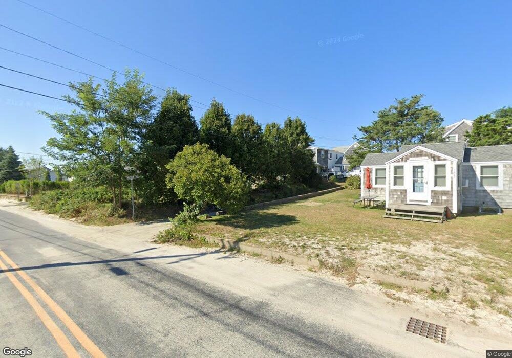
10 Pedwell Way Dennis, MA 02638
Dennis Village NeighborhoodEstimated Value: $1,776,120 - $2,218,000
4
Beds
3
Baths
2,300
Sq Ft
$876/Sq Ft
Est. Value
About This Home
This home is located at 10 Pedwell Way, Dennis, MA 02638 and is currently estimated at $2,015,780, approximately $876 per square foot. 10 Pedwell Way is a home located in Barnstable County with nearby schools including Dennis-Yarmouth Regional High School.
Ownership History
Date
Name
Owned For
Owner Type
Purchase Details
Closed on
Aug 16, 2018
Sold by
Macdonald Robert B
Bought by
Pedwell Way Llc
Current Estimated Value
Purchase Details
Closed on
Jun 29, 2005
Sold by
Shaw Arlen K and Shaw Mary L
Bought by
Macdonald Robert B
Create a Home Valuation Report for This Property
The Home Valuation Report is an in-depth analysis detailing your home's value as well as a comparison with similar homes in the area
Home Values in the Area
Average Home Value in this Area
Purchase History
| Date | Buyer | Sale Price | Title Company |
|---|---|---|---|
| Pedwell Way Llc | -- | -- | |
| Macdonald Robert B | $902,500 | -- |
Source: Public Records
Tax History
| Year | Tax Paid | Tax Assessment Tax Assessment Total Assessment is a certain percentage of the fair market value that is determined by local assessors to be the total taxable value of land and additions on the property. | Land | Improvement |
|---|---|---|---|---|
| 2025 | $7,563 | $1,746,700 | $1,034,900 | $711,800 |
| 2024 | $7,191 | $1,638,000 | $888,700 | $749,300 |
| 2023 | $6,954 | $1,489,000 | $807,800 | $681,200 |
| 2022 | $6,951 | $1,241,300 | $727,700 | $513,600 |
| 2021 | $6,956 | $1,153,500 | $713,400 | $440,100 |
| 2020 | $6,789 | $1,113,000 | $713,400 | $399,600 |
| 2019 | $6,752 | $1,094,300 | $699,500 | $394,800 |
| 2018 | $5,445 | $858,800 | $511,400 | $347,400 |
| 2017 | $5,609 | $912,100 | $564,700 | $347,400 |
| 2016 | $5,412 | $828,800 | $532,700 | $296,100 |
| 2015 | $5,304 | $828,800 | $532,700 | $296,100 |
| 2014 | $5,086 | $801,000 | $500,700 | $300,300 |
Source: Public Records
Map
Nearby Homes
- 7 Collins Ave
- 4 Spadoni Rd
- 4 Spadoni Way
- 49 Rodoalph's Way
- 94 Horsefoot Path
- 69 Horsefoot Path
- 12 Dunes View Rd
- 156 Shore Dr
- 96 Shore Dr
- 74 Robbins Cir
- 37 Johnson Ln
- 73 Pilgrim Rd
- 19 Whig St
- 59 Hope Ln
- 19 Deacon Joseph Ln
- 645 Main St Back Lot
- 15 Signal Hill Dr
- 6 Thomas Ct
- 7 Forest Gate Unit 7
- 100 Kates Path Unit 100
- 6 Schofield Rd
- 8 Schofield Rd
- 10 Schofield Rd
- 136 Taunton Ave
- 12 Schofield Rd
- 132 Taunton Ave
- 134 Taunton Ave
- 3 Schofield Rd
- 7 Schofield Rd
- 21 Schofield Rd
- 16 Schofield Rd
- 9 Schofield Rd
- 9 Collins Ave
- 122 Taunton Ave
- 11 Schofield Rd
- 118 Taunton Ave
- 110 Taunton Ave
- 110 Taunton Ave Unit Masthead
- 110 Taunton Ave Unit 1-7
- 110 Taunton Ave Unit 7
Your Personal Tour Guide
Ask me questions while you tour the home.