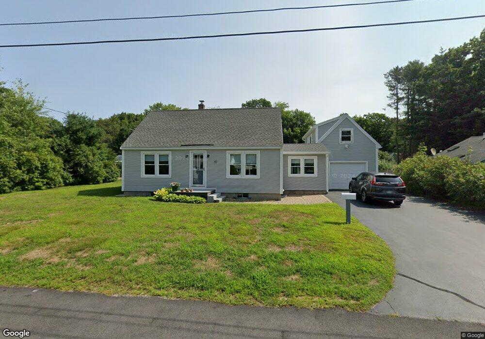
10 Pine St Kennebunk, ME 04043
Estimated Value: $508,802 - $528,000
3
Beds
2
Baths
1,494
Sq Ft
$347/Sq Ft
Est. Value
About This Home
This home is located at 10 Pine St, Kennebunk, ME 04043 and is currently estimated at $518,951, approximately $347 per square foot. 10 Pine St is a home located in York County with nearby schools including Kennebunk High School, School Around Us, and The New School.
Ownership History
Date
Name
Owned For
Owner Type
Purchase Details
Closed on
Jun 25, 2025
Sold by
Seely Valerie-Jo
Bought by
Ingham Hannah D
Current Estimated Value
Purchase Details
Closed on
Jun 17, 2025
Sold by
Nielsen Jennifer D
Bought by
Nielsen-Wescott Laura A and Nielsen Gregory
Purchase Details
Closed on
Sep 3, 2024
Sold by
Nielsen Stella C
Bought by
Nielsen Jennifer D and Nielsen-Wescott Laura A
Purchase Details
Closed on
Aug 14, 2013
Sold by
Seeley Mark E and Seeley Valerie J
Bought by
39 High Street Llc
Create a Home Valuation Report for This Property
The Home Valuation Report is an in-depth analysis detailing your home's value as well as a comparison with similar homes in the area
Home Values in the Area
Average Home Value in this Area
Purchase History
| Date | Buyer | Sale Price | Title Company |
|---|---|---|---|
| Ingham Hannah D | -- | -- | |
| Ingham Hannah D | -- | -- | |
| Nielsen-Wescott Laura A | -- | None Available | |
| Nielsen-Wescott Laura A | -- | None Available | |
| Nielsen Jennifer D | -- | None Available | |
| Nielsen Jennifer D | -- | None Available | |
| Nielsen Jennifer D | -- | None Available | |
| 39 High Street Llc | -- | -- | |
| 39 High Street Llc | -- | -- |
Source: Public Records
Tax History Compared to Growth
Tax History
| Year | Tax Paid | Tax Assessment Tax Assessment Total Assessment is a certain percentage of the fair market value that is determined by local assessors to be the total taxable value of land and additions on the property. | Land | Improvement |
|---|---|---|---|---|
| 2024 | $4,427 | $261,200 | $77,300 | $183,900 |
| 2023 | $4,192 | $261,200 | $77,300 | $183,900 |
| 2022 | $3,814 | $261,200 | $77,300 | $183,900 |
| 2021 | $3,366 | $261,200 | $77,300 | $183,900 |
| 2020 | $3,342 | $261,200 | $77,300 | $183,900 |
| 2019 | $3,592 | $261,200 | $77,300 | $183,900 |
| 2018 | $3,428 | $195,900 | $58,000 | $137,900 |
| 2017 | $3,242 | $195,900 | $58,000 | $137,900 |
| 2016 | $3,115 | $195,900 | $58,000 | $137,900 |
| 2015 | $2,852 | $195,900 | $58,000 | $137,900 |
| 2014 | $2,777 | $195,900 | $58,000 | $137,900 |
Source: Public Records
Map
Nearby Homes
- 18 Greenwich Way Unit 38
- 17 Legacy Ln
- 30 York St Unit 1
- 22 York St
- 47 Brown St
- 27 Webhannet Place Unit 16
- 2 Chestnut Ln Unit 2
- 54 Sycamore Ln Unit 19
- 11 Heritage Ln
- 3 Cider Mill Ln
- 17 Water St Unit 9
- 5 Cider Mill Ln
- 4 Cider Mill Ln
- 61 Fletcher St
- 59 Plymouth Grove Unit 11
- 14 Wiggins Pond Ln
- 32 Wiggins Pond Ln Unit 35
- 3 Hardwood Dr
- 16 Boundary Way
- 3 Kensington Dr