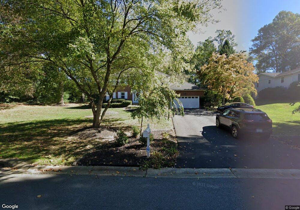
10 Polaris Dr Newark, DE 19711
Estimated Value: $627,547 - $667,000
4
Beds
3
Baths
2,863
Sq Ft
$224/Sq Ft
Est. Value
About This Home
This home is located at 10 Polaris Dr, Newark, DE 19711 and is currently estimated at $642,637, approximately $224 per square foot. 10 Polaris Dr is a home located in New Castle County with nearby schools including North Star Elementary School, The John Dickinson School, and Dupont (H.B.) Middle School.
Ownership History
Date
Name
Owned For
Owner Type
Purchase Details
Closed on
Jun 18, 2010
Sold by
Crecco Barbara R and Crecco Ronald D
Bought by
Benham Chester L and Benham Allison L
Current Estimated Value
Home Financials for this Owner
Home Financials are based on the most recent Mortgage that was taken out on this home.
Original Mortgage
$384,178
Outstanding Balance
$256,210
Interest Rate
4.87%
Mortgage Type
FHA
Estimated Equity
$386,427
Create a Home Valuation Report for This Property
The Home Valuation Report is an in-depth analysis detailing your home's value as well as a comparison with similar homes in the area
Home Values in the Area
Average Home Value in this Area
Purchase History
| Date | Buyer | Sale Price | Title Company |
|---|---|---|---|
| Benham Chester L | $395,500 | None Available |
Source: Public Records
Mortgage History
| Date | Status | Borrower | Loan Amount |
|---|---|---|---|
| Open | Benham Chester L | $384,178 |
Source: Public Records
Tax History Compared to Growth
Tax History
| Year | Tax Paid | Tax Assessment Tax Assessment Total Assessment is a certain percentage of the fair market value that is determined by local assessors to be the total taxable value of land and additions on the property. | Land | Improvement |
|---|---|---|---|---|
| 2024 | $4,888 | $132,300 | $27,600 | $104,700 |
| 2023 | $4,312 | $132,300 | $27,600 | $104,700 |
| 2022 | $4,364 | $132,300 | $27,600 | $104,700 |
| 2021 | $4,363 | $132,300 | $27,600 | $104,700 |
| 2020 | $4,377 | $132,300 | $27,600 | $104,700 |
| 2019 | $4,371 | $132,300 | $27,600 | $104,700 |
| 2018 | $4,284 | $132,300 | $27,600 | $104,700 |
| 2017 | $4,231 | $132,300 | $27,600 | $104,700 |
| 2016 | $4,041 | $132,300 | $27,600 | $104,700 |
| 2015 | $3,787 | $132,300 | $27,600 | $104,700 |
| 2014 | $3,504 | $132,300 | $27,600 | $104,700 |
Source: Public Records
Map
Nearby Homes
- 4 Meteor Ln
- 21 Jarrell Farms Dr
- 24 Haileys Trail
- 334 Shannonbridge Dr
- 121 Croom Mills Dr
- 114 Fraser Place
- 132 Farm Meadows Ln
- 3 Heatherstone Way
- 204 Barclay Dr
- 8 Barclay Dr
- 124 Shinn Cir
- 515 Massaferi Way
- 5 Ridgewood Dr
- 142 Shinn Cir
- 112 Monet Cir
- 850 Stockbridge Dr
- 184 Gregg Dr
- 220 Hockessin Cir
- 7 Deer Track Ln
- 253 Peoples Way