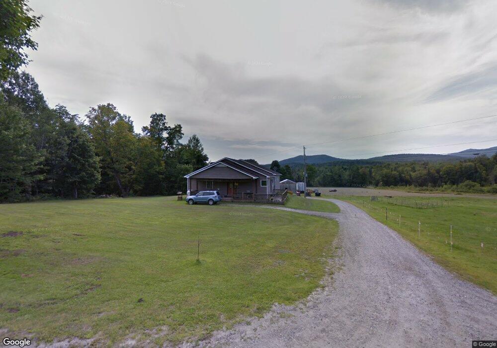
10 Pratt Rd Unit 98 Worcester, VT 05682
Estimated Value: $405,000 - $748,411
2
Beds
4
Baths
2,880
Sq Ft
$202/Sq Ft
Est. Value
About This Home
This home is located at 10 Pratt Rd Unit 98, Worcester, VT 05682 and is currently estimated at $581,853, approximately $202 per square foot. 10 Pratt Rd Unit 98 is a home located in Washington County with nearby schools including Doty Memorial School, Berlin Elementary School, and U-32 Middle & High School.
Ownership History
Date
Name
Owned For
Owner Type
Purchase Details
Closed on
Nov 14, 2024
Sold by
Nelson Anne
Bought by
Tyrrell Ethan
Current Estimated Value
Purchase Details
Closed on
Aug 7, 2020
Sold by
Nelson Jerry E
Bought by
Tyrell Anne
Purchase Details
Closed on
Mar 27, 2013
Sold by
Nelson Terry F and Nelson Linda L
Bought by
French Gregory and French Betty L
Purchase Details
Closed on
Jan 30, 2013
Sold by
Nelson Jerry E and Nelson Linda L
Bought by
Clark Robert D and Clark Cheryl T
Purchase Details
Closed on
Jan 21, 2013
Sold by
Nelson Jerry E and Nelsjn Linda L
Bought by
Clark Robert D and Clark Cheryl T
Purchase Details
Closed on
Jul 16, 2010
Sold by
Nelson Jerry E and Nelson Linda L
Bought by
Dyer Richard W and Dyer Karen A Karen
Create a Home Valuation Report for This Property
The Home Valuation Report is an in-depth analysis detailing your home's value as well as a comparison with similar homes in the area
Home Values in the Area
Average Home Value in this Area
Purchase History
| Date | Buyer | Sale Price | Title Company |
|---|---|---|---|
| Tyrrell Ethan | -- | -- | |
| Tyrell Anne | -- | -- | |
| Tyrell Anne | -- | -- | |
| French Gregory | -- | -- | |
| Clark Robert D | $31,150 | -- | |
| Clark Robert D | $67,410 | -- | |
| Dyer Richard W | $190,000 | -- |
Source: Public Records
Tax History
| Year | Tax Paid | Tax Assessment Tax Assessment Total Assessment is a certain percentage of the fair market value that is determined by local assessors to be the total taxable value of land and additions on the property. | Land | Improvement |
|---|---|---|---|---|
| 2024 | $12,367 | $456,700 | $102,000 | $354,700 |
| 2023 | $7,743 | $456,700 | $102,000 | $354,700 |
| 2022 | $10,460 | $456,700 | $102,000 | $354,700 |
| 2021 | $10,464 | $456,700 | $102,000 | $354,700 |
| 2020 | $12,175 | $521,600 | $166,900 | $354,700 |
| 2019 | $12,286 | $521,600 | $166,900 | $354,700 |
| 2018 | $11,930 | $521,600 | $166,900 | $354,700 |
| 2017 | $0 | $521,600 | $166,900 | $354,700 |
| 2016 | $11,096 | $521,600 | $166,900 | $354,700 |
| 2015 | -- | $4,040 | $0 | $0 |
| 2014 | -- | $4,016 | $0 | $0 |
| 2013 | -- | $4,017 | $0 | $0 |
Source: Public Records
Map
Nearby Homes
- 34 Worcester Village Rd
- 67 Worcester Village Rd
- 00 Brown Rd
- Lot 4 Milos Place
- Lot 5 Milos Place
- 516 Minister Brook Rd
- 10 Hampshire Hill Rd
- 41 Hampshire Hill Rd
- 762 Apple Hill Rd
- 191 Shady Rill Rd
- 975 Sanders Cir
- 0 Gar Rd Unit 5058838
- 00 Ledge Hill Rd
- 245 Scribner Rd
- 463 Chartier Hill Rd
- 463 Chartier Hill Rd
- 4564 Vt Route 14
- 4655 Vt Route 14
- 1008 Luce Rd
- 0 Veo Rd
Your Personal Tour Guide
Ask me questions while you tour the home.