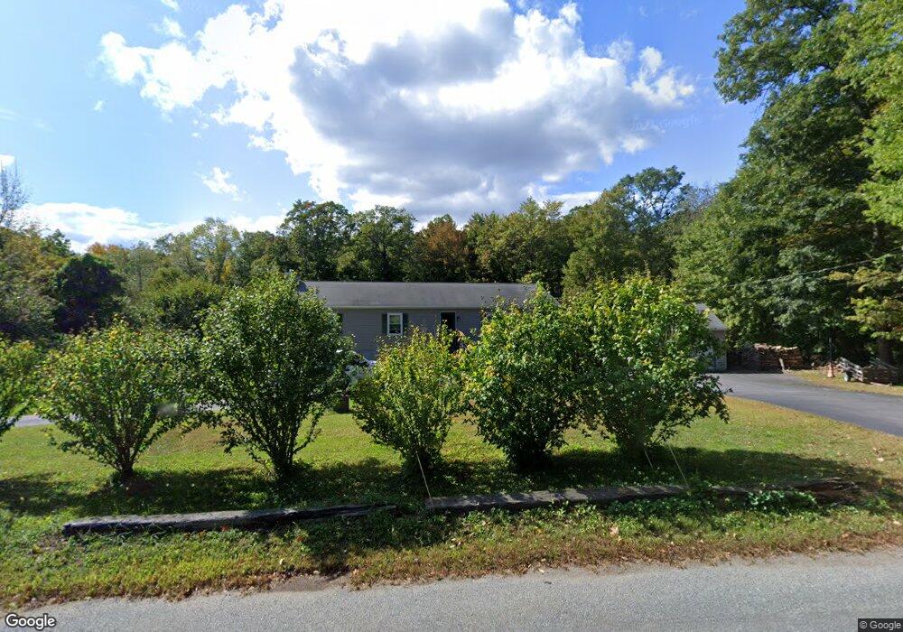
10 Rawson St Sutton, MA 01590
Estimated Value: $530,000 - $573,000
3
Beds
2
Baths
1,425
Sq Ft
$384/Sq Ft
Est. Value
About This Home
This home is located at 10 Rawson St, Sutton, MA 01590 and is currently estimated at $547,879, approximately $384 per square foot. 10 Rawson St is a home located in Worcester County with nearby schools including Sutton Elementary School, Sutton Middle School, and Sutton High School.
Create a Home Valuation Report for This Property
The Home Valuation Report is an in-depth analysis detailing your home's value as well as a comparison with similar homes in the area
Home Values in the Area
Average Home Value in this Area
Tax History
| Year | Tax Paid | Tax Assessment Tax Assessment Total Assessment is a certain percentage of the fair market value that is determined by local assessors to be the total taxable value of land and additions on the property. | Land | Improvement |
|---|---|---|---|---|
| 2025 | $5,758 | $479,000 | $180,700 | $298,300 |
| 2024 | $6,112 | $482,000 | $173,000 | $309,000 |
| 2023 | $5,325 | $384,500 | $157,000 | $227,500 |
| 2022 | $5,474 | $360,600 | $125,800 | $234,800 |
| 2021 | $5,024 | $314,000 | $125,800 | $188,200 |
| 2020 | $4,980 | $314,000 | $125,800 | $188,200 |
| 2019 | $2,032 | $305,800 | $125,800 | $180,000 |
| 2018 | $3,461 | $276,600 | $107,200 | $169,400 |
| 2017 | $4,420 | $267,900 | $94,300 | $173,600 |
| 2016 | $4,363 | $261,600 | $94,300 | $167,300 |
| 2015 | $4,222 | $253,100 | $94,300 | $158,800 |
| 2014 | $4,026 | $238,500 | $93,400 | $145,100 |
Source: Public Records
Map
Nearby Homes
- 37 Bayliss Way
- 22 Bayliss Way
- 201 Prescott Rd
- 14 C St
- 2 D St
- 34 Crescent St Unit 34
- 128 Linwood Ave
- 79 Country Club Dr
- 30-32 Spring St
- 16 Hough Rd
- 8 Hough Rd
- 235 Rivulet St
- 208-210 Church St
- 158 Purgatory Rd
- 28 Johnson Rd
- 0 Homestead Ave
- 81 Rebecca Rd
- 21 Granite St
- 237 Heritage Dr Unit 237
- 164 Heritage Dr Unit 164
Your Personal Tour Guide
Ask me questions while you tour the home.