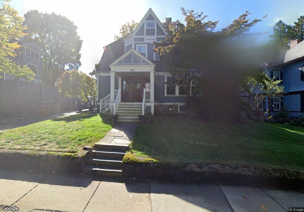
10 Regent St West Newton, MA 02465
West Newton NeighborhoodEstimated Value: $2,066,650 - $2,571,000
5
Beds
4
Baths
2,567
Sq Ft
$913/Sq Ft
Est. Value
About This Home
This home is located at 10 Regent St, West Newton, MA 02465 and is currently estimated at $2,343,413, approximately $912 per square foot. 10 Regent St is a home located in Middlesex County with nearby schools including Peirce Elementary School, F.A. Day Middle School, and Newton North High School.
Ownership History
Date
Name
Owned For
Owner Type
Purchase Details
Closed on
Mar 27, 2025
Sold by
Bates Joseph and Loeffler Kristin
Bought by
Kristin A Loeffler Ret and Bates
Current Estimated Value
Purchase Details
Closed on
Sep 15, 2010
Sold by
Bernstein Daniel and Bernstein Kristina
Bought by
Bets Joseph and Loeffler Kirstin
Home Financials for this Owner
Home Financials are based on the most recent Mortgage that was taken out on this home.
Original Mortgage
$669,500
Interest Rate
4.51%
Mortgage Type
Purchase Money Mortgage
Purchase Details
Closed on
May 30, 2006
Sold by
Case Edmund C and Case Wendy B
Bought by
Bernstein Daniel and Bernstein Kristina
Home Financials for this Owner
Home Financials are based on the most recent Mortgage that was taken out on this home.
Original Mortgage
$712,500
Interest Rate
6.53%
Mortgage Type
Purchase Money Mortgage
Create a Home Valuation Report for This Property
The Home Valuation Report is an in-depth analysis detailing your home's value as well as a comparison with similar homes in the area
Home Values in the Area
Average Home Value in this Area
Purchase History
| Date | Buyer | Sale Price | Title Company |
|---|---|---|---|
| Kristin A Loeffler Ret | -- | None Available | |
| Kristin A Loeffler Ret | -- | None Available | |
| Bets Joseph | $1,030,000 | -- | |
| Bets Joseph | $1,030,000 | -- | |
| Bernstein Daniel | $950,000 | -- | |
| Bernstein Daniel | $950,000 | -- |
Source: Public Records
Mortgage History
| Date | Status | Borrower | Loan Amount |
|---|---|---|---|
| Previous Owner | Bets Joseph | $669,500 | |
| Previous Owner | Bernstein Daniel | $770,000 | |
| Previous Owner | Bernstein Daniel | $712,500 | |
| Previous Owner | Bernstein Daniel | $100,000 |
Source: Public Records
Tax History Compared to Growth
Tax History
| Year | Tax Paid | Tax Assessment Tax Assessment Total Assessment is a certain percentage of the fair market value that is determined by local assessors to be the total taxable value of land and additions on the property. | Land | Improvement |
|---|---|---|---|---|
| 2025 | $17,995 | $1,836,200 | $1,114,600 | $721,600 |
| 2024 | $17,353 | $1,778,000 | $1,082,100 | $695,900 |
| 2023 | $16,640 | $1,634,600 | $824,000 | $810,600 |
| 2022 | $15,922 | $1,513,500 | $763,000 | $750,500 |
| 2021 | $15,363 | $1,427,800 | $719,800 | $708,000 |
| 2020 | $14,906 | $1,427,800 | $719,800 | $708,000 |
| 2019 | $14,486 | $1,386,200 | $698,800 | $687,400 |
| 2018 | $13,932 | $1,287,600 | $637,000 | $650,600 |
| 2017 | $13,507 | $1,214,700 | $600,900 | $613,800 |
| 2016 | $12,919 | $1,135,200 | $561,600 | $573,600 |
| 2015 | $12,317 | $1,060,900 | $524,900 | $536,000 |
Source: Public Records
Map
Nearby Homes
- 4 Hosmer Cir
- 70 Bigelow Rd
- 39 Valentine Park
- 318 Austin St Unit A
- 79 Chestnut St Unit 2
- 222 Prince St
- 279 Chestnut St
- 140 Mount Vernon St
- 18 Sewall St
- 12 Inis Cir
- 308 Prince St
- 123 Mount Vernon St Unit 2
- 33 Birch Hill Rd
- 12 Wiswall St
- 4 Wiswall St
- 27 Cross St Unit 27
- 46 Ellis Rd
- 20 Birch Hill Rd
- 1230 Commonwealth Ave
- 36 Troy Ln