10 Reid Ln Cumberland Center, ME 04021
Estimated Value: $762,573 - $848,000
3
Beds
3
Baths
1,716
Sq Ft
$474/Sq Ft
Est. Value
About This Home
This home is located at 10 Reid Ln, Cumberland Center, ME 04021 and is currently estimated at $814,143, approximately $474 per square foot. 10 Reid Ln is a home with nearby schools including Mabel I. Wilson School, Greely Middle School 4-5, and Greely Middle School.
Ownership History
Date
Name
Owned For
Owner Type
Purchase Details
Closed on
Feb 4, 2014
Sold by
D A Brackett & Co Inc
Bought by
Johnston Kelsie E and Peixotto Robert W
Current Estimated Value
Home Financials for this Owner
Home Financials are based on the most recent Mortgage that was taken out on this home.
Original Mortgage
$242,000
Outstanding Balance
$182,717
Interest Rate
4.47%
Mortgage Type
New Conventional
Estimated Equity
$631,426
Purchase Details
Closed on
Apr 26, 2012
Sold by
Village Green Cumberland
Bought by
Da Brackett & Co Inc
Create a Home Valuation Report for This Property
The Home Valuation Report is an in-depth analysis detailing your home's value as well as a comparison with similar homes in the area
Home Values in the Area
Average Home Value in this Area
Purchase History
| Date | Buyer | Sale Price | Title Company |
|---|---|---|---|
| Johnston Kelsie E | -- | -- | |
| Johnston Kelsie E | -- | -- | |
| Johnston Kelsie E | -- | -- | |
| Da Brackett & Co Inc | -- | -- | |
| Da Brackett & Co Inc | -- | -- | |
| Da Brackett & Co Inc | -- | -- |
Source: Public Records
Mortgage History
| Date | Status | Borrower | Loan Amount |
|---|---|---|---|
| Open | Johnston Kelsie E | $242,000 | |
| Closed | Da Brackett & Co Inc | $242,000 |
Source: Public Records
Tax History Compared to Growth
Tax History
| Year | Tax Paid | Tax Assessment Tax Assessment Total Assessment is a certain percentage of the fair market value that is determined by local assessors to be the total taxable value of land and additions on the property. | Land | Improvement |
|---|---|---|---|---|
| 2025 | $8,868 | $352,200 | $104,300 | $247,900 |
| 2024 | $8,337 | $358,600 | $104,300 | $254,300 |
| 2023 | $7,943 | $358,600 | $104,300 | $254,300 |
| 2022 | $7,602 | $358,600 | $104,300 | $254,300 |
| 2021 | $7,369 | $358,600 | $104,300 | $254,300 |
| 2020 | $7,298 | $358,600 | $104,300 | $254,300 |
| 2019 | $7,118 | $358,600 | $104,300 | $254,300 |
| 2018 | $7,064 | $358,600 | $104,300 | $254,300 |
| 2017 | $6,695 | $356,100 | $104,300 | $251,800 |
| 2016 | $6,499 | $356,100 | $104,300 | $251,800 |
| 2015 | $6,445 | $356,100 | $104,300 | $251,800 |
| 2014 | $6,196 | $356,100 | $104,300 | $251,800 |
| 2013 | $1,241 | $73,000 | $73,000 | $0 |
Source: Public Records
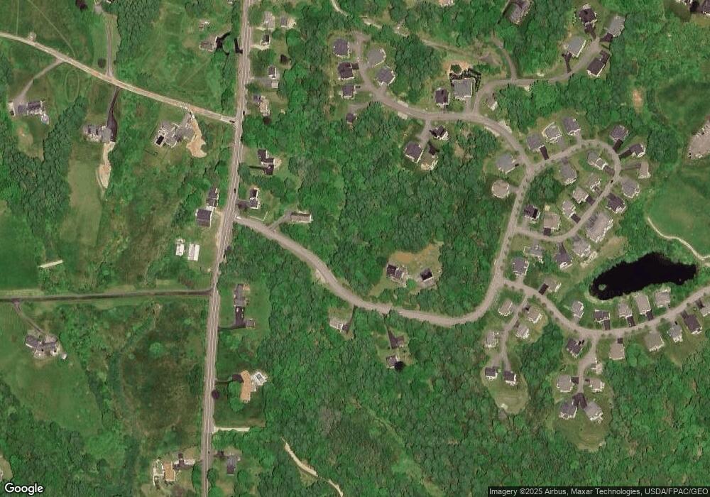
Map
Nearby Homes
- 193 Main St
- 133 Longwoods Rd
- 39 Harris Rd
- 294 Greely Rd
- 11 Coastal Pines Lot 5
- 90 Harris Lot 1 Rd
- Lot 8 Coastal Pines
- 15 Inverness Rd
- 445 Greely Extension Rd
- Lot 3 Dunham Ln
- Lot 2 Dunham Ln
- 31 Stony Brook Ln
- 8 Summer Way
- 4 Winnwood Farm Way
- 9 Black Oak Dr
- 67 Field Rd
- Lot 8 Acadia Dr
- Lot 2 Acadia Dr
- 9 Newell Rd
- Lot 9 Denali Way
- 11 Reid Ln
- 7 Reid Ln
- 7 Acadia Ln
- 6 Reid Ln
- 5 Baxter Lane (Lot 8)
- 7 Baxter Ln
- 4 Reid Ln
- 56 Drowne Rd
- 3 Reid Ln
- 6 Baxter Ln
- 61 Drowne Road (Lot 22)
- 57 Drowne Road (Lot 21)
- 57 Drowne Rd
- 4 Baxter Lane (Lot 11)
- 55 Drowne Rd Unit Lot 21
- 55 Drowne Rd
- 54 Drowne Rd
- 54 Drowne Road (Lot 12 Village Gr
- 29 Wyman Way
- 53 Drowne Road (Lot 19)