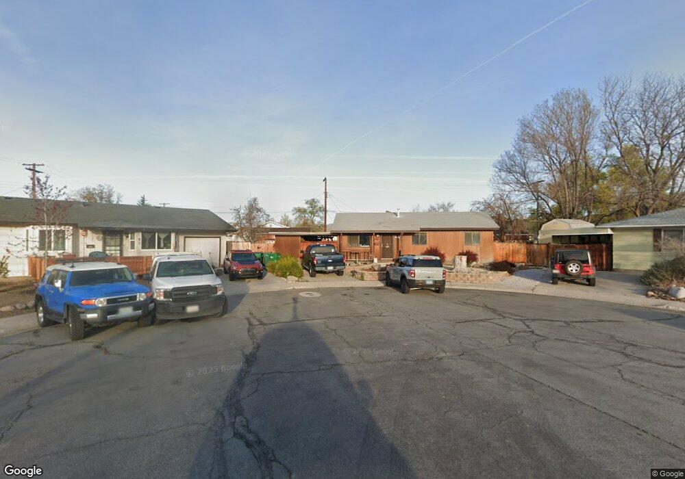
10 Rexford Ct Unit 1A Sparks, NV 89431
McCarran Boulevard-Probasco NeighborhoodEstimated Value: $433,672 - $499,000
4
Beds
3
Baths
1,870
Sq Ft
$251/Sq Ft
Est. Value
About This Home
This home is located at 10 Rexford Ct Unit 1A, Sparks, NV 89431 and is currently estimated at $468,668, approximately $250 per square foot. 10 Rexford Ct Unit 1A is a home located in Washoe County with nearby schools including Florence Drake Elementary School, George L Dilworth Middle School, and Sparks High School.
Ownership History
Date
Name
Owned For
Owner Type
Purchase Details
Closed on
May 24, 2011
Sold by
Biale Roger G and Biale Nona Lee
Bought by
Garrick Michael J and Garrick Dana L
Current Estimated Value
Home Financials for this Owner
Home Financials are based on the most recent Mortgage that was taken out on this home.
Original Mortgage
$170,000
Outstanding Balance
$117,924
Interest Rate
4.84%
Mortgage Type
Seller Take Back
Estimated Equity
$350,744
Purchase Details
Closed on
Aug 23, 2002
Sold by
Biale Roger G and Biale Nona Lee
Bought by
Biale Roger G and Biale Nona Lee
Purchase Details
Closed on
Dec 19, 1994
Sold by
Clark Curtis E
Bought by
Biale Roger G and Biale Nona Lee
Create a Home Valuation Report for This Property
The Home Valuation Report is an in-depth analysis detailing your home's value as well as a comparison with similar homes in the area
Home Values in the Area
Average Home Value in this Area
Purchase History
| Date | Buyer | Sale Price | Title Company |
|---|---|---|---|
| Garrick Michael J | $170,000 | Ticor Title Reno | |
| Biale Roger G | -- | -- | |
| Biale Roger G | -- | -- | |
| Biale Roger G | $8,500 | Stewart Title |
Source: Public Records
Mortgage History
| Date | Status | Borrower | Loan Amount |
|---|---|---|---|
| Open | Garrick Michael J | $170,000 |
Source: Public Records
Tax History Compared to Growth
Tax History
| Year | Tax Paid | Tax Assessment Tax Assessment Total Assessment is a certain percentage of the fair market value that is determined by local assessors to be the total taxable value of land and additions on the property. | Land | Improvement |
|---|---|---|---|---|
| 2025 | $1,436 | $56,305 | $33,565 | $22,740 |
| 2024 | $1,436 | $52,490 | $30,065 | $22,425 |
| 2023 | $1,330 | $52,029 | $31,325 | $20,704 |
| 2022 | $1,796 | $43,054 | $26,180 | $16,874 |
| 2021 | $1,142 | $35,287 | $17,955 | $17,332 |
| 2020 | $1,084 | $34,876 | $16,940 | $17,936 |
| 2019 | $2,322 | $33,703 | $15,890 | $17,813 |
| 2018 | $981 | $29,648 | $11,725 | $17,923 |
| 2017 | $940 | $28,816 | $10,395 | $18,421 |
| 2016 | $917 | $28,553 | $9,345 | $19,208 |
| 2015 | $913 | $27,341 | $7,700 | $19,641 |
| 2014 | $892 | $25,567 | $6,440 | $19,127 |
| 2013 | -- | $23,548 | $4,270 | $19,278 |
Source: Public Records
Map
Nearby Homes
- 10 Sheridan Way
- 119 Devere Way
- 120 E Lenwood Dr
- 2865 Patrice Dr
- 3071 Meadowlands Dr
- 3245 Elaine Way
- 8 E O St
- 1940 4th St Unit 20
- 1940 4th St Unit 51
- 1703 1st St
- 465 Lenwood Dr
- 3104 Sandy St
- 1945 4th St Unit 32
- 1945 4th St Unit 33
- 1945 4th St Unit 10
- 707 Glen Meadow Dr
- 745 Glen Vista Dr
- 3167 Bristle Branch Dr
- 780 Emerson Way
- 3188 Bristle Branch Dr
- 20 Rexford Ct
- 2600 Baxter Way
- 21 Rexford Ct
- 2590 Baxter Way
- 2650 Baxter Way
- 11 Amberley Way
- 2550 Baxter Way
- 31 Rexford Ct
- 19 Amberley Way Unit 1A
- 2690 Baxter Way
- 2629 Lennox Ln
- 2571 Lennox Ln
- 20 Sheridan Way
- 39 Amberley Way
- 2500 Baxter Way Unit 1A
- 30 Sheridan Way
- 2651 Baxter Way
- 2601 Baxter Way
- 2545 Lennox Ln
- 2591 Baxter Way