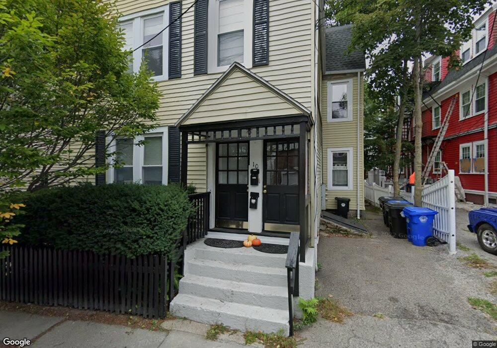
10 Roberts St Brookline, MA 02445
Brookline Village NeighborhoodEstimated Value: $1,719,000 - $1,904,000
6
Beds
3
Baths
2,595
Sq Ft
$687/Sq Ft
Est. Value
About This Home
This home is located at 10 Roberts St, Brookline, MA 02445 and is currently estimated at $1,783,333, approximately $687 per square foot. 10 Roberts St is a home located in Norfolk County with nearby schools including William H. Lincoln School, Brookline High School, and Maimonides School.
Ownership History
Date
Name
Owned For
Owner Type
Purchase Details
Closed on
Nov 27, 2023
Sold by
Brink Elisabeth P and Brink Robert J
Bought by
Brink Ft and Brink
Current Estimated Value
Purchase Details
Closed on
Jan 5, 2010
Sold by
Brink Robert J
Bought by
Brink Robert J and Brink Elisabeth P
Purchase Details
Closed on
Feb 13, 1990
Sold by
Campion Frank D
Bought by
Brink Robert J
Home Financials for this Owner
Home Financials are based on the most recent Mortgage that was taken out on this home.
Original Mortgage
$236,000
Interest Rate
9.64%
Mortgage Type
Purchase Money Mortgage
Create a Home Valuation Report for This Property
The Home Valuation Report is an in-depth analysis detailing your home's value as well as a comparison with similar homes in the area
Home Values in the Area
Average Home Value in this Area
Purchase History
| Date | Buyer | Sale Price | Title Company |
|---|---|---|---|
| Brink Ft | -- | None Available | |
| Brink Robert J | -- | -- | |
| Brink Robert J | $31,000 | -- |
Source: Public Records
Mortgage History
| Date | Status | Borrower | Loan Amount |
|---|---|---|---|
| Previous Owner | Brink Robert J | $225,800 | |
| Previous Owner | Brink Robert J | $236,000 |
Source: Public Records
Tax History
| Year | Tax Paid | Tax Assessment Tax Assessment Total Assessment is a certain percentage of the fair market value that is determined by local assessors to be the total taxable value of land and additions on the property. | Land | Improvement |
|---|---|---|---|---|
| 2025 | $12,360 | $1,252,300 | $637,900 | $614,400 |
| 2024 | $12,328 | $1,261,800 | $613,300 | $648,500 |
| 2023 | $11,839 | $1,187,500 | $533,900 | $653,600 |
| 2022 | $11,524 | $1,130,900 | $508,500 | $622,400 |
| 2021 | $10,657 | $1,087,400 | $488,900 | $598,500 |
| 2020 | $9,992 | $1,057,400 | $444,500 | $612,900 |
| 2019 | $9,436 | $1,007,000 | $423,300 | $583,700 |
| 2018 | $8,885 | $939,200 | $362,600 | $576,600 |
| 2017 | $8,592 | $869,600 | $342,100 | $527,500 |
| 2016 | $8,238 | $790,600 | $319,700 | $470,900 |
| 2015 | $7,676 | $718,700 | $298,800 | $419,900 |
| 2014 | $7,763 | $681,600 | $271,700 | $409,900 |
Source: Public Records
Map
Nearby Homes
- 209 High St
- 18 Chestnut Place
- 71 Highland Rd
- 8 Leverett St Unit 3
- 81 Glen Rd Unit S2
- 60 Glen Rd Unit 108
- 241 Perkins St Unit D405
- 241 Perkins St Unit C402
- 241 Perkins St Unit G102
- 371 Walnut St
- 69 Walnut St Unit 2
- 69 Walnut St Unit 1
- 99 Pond Ave Unit 409
- 99 Pond Ave Unit 608
- 21 Sargent Crossway
- 12 Thayer St
- 6 Juniper St Unit 16
- 77 Pond Ave Unit 1103
- 77 Pond Ave Unit 1506
- 77 Pond Ave Unit 401
- 10 Roberts St Unit 2
- 6 Roberts St Unit 1
- 6 Roberts St
- 6 Roberts St Unit 2
- 14 Roberts St
- 14 Roberts St Unit 2
- 14 Roberts St Unit 1
- 8 Roberts St Unit 1L
- 8 Roberts St Unit 2
- 8 Roberts St Unit 2L
- 8 Roberts St Unit 2R
- 8 Roberts St
- 8 Roberts St Unit 3R
- 248 Cypress St
- 16 Roberts St Unit 3
- 16 Roberts St Unit 2
- 16 Roberts St Unit 1
- 16 Roberts St
- 16 Roberts St Unit 3, 16
- 250 Cypress St Unit End Unit
Your Personal Tour Guide
Ask me questions while you tour the home.