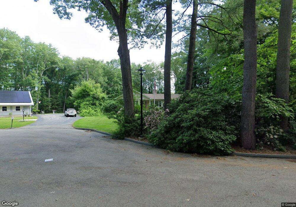
10 Robertson Rd Auburn, MA 01501
Downtown Auburn NeighborhoodEstimated Value: $603,473 - $683,000
3
Beds
4
Baths
2,181
Sq Ft
$296/Sq Ft
Est. Value
About This Home
This home is located at 10 Robertson Rd, Auburn, MA 01501 and is currently estimated at $645,618, approximately $296 per square foot. 10 Robertson Rd is a home located in Worcester County with nearby schools including Auburn Senior High School and Shrewsbury Montessori School - Auburn Campus.
Ownership History
Date
Name
Owned For
Owner Type
Purchase Details
Closed on
May 19, 2023
Sold by
Fitzgerald Sean P and Fitzgerald Susan M
Bought by
Fitzgerald Susan M
Current Estimated Value
Home Financials for this Owner
Home Financials are based on the most recent Mortgage that was taken out on this home.
Original Mortgage
$373,117
Outstanding Balance
$361,654
Interest Rate
6.25%
Mortgage Type
FHA
Estimated Equity
$283,964
Purchase Details
Closed on
Jul 15, 2009
Sold by
Caravalho John J and Caravalho Sandra
Bought by
Fitzgerald Sean P and Fitzgerald Susan M
Home Financials for this Owner
Home Financials are based on the most recent Mortgage that was taken out on this home.
Original Mortgage
$294,500
Interest Rate
5.31%
Mortgage Type
Purchase Money Mortgage
Purchase Details
Closed on
Jul 23, 1999
Sold by
Austin Robert F and Austin Marie G
Bought by
Caravalho John J and Caravalho Sandra
Purchase Details
Closed on
Jul 7, 1988
Sold by
Norman Jacqueline
Bought by
Austin Robert F
Create a Home Valuation Report for This Property
The Home Valuation Report is an in-depth analysis detailing your home's value as well as a comparison with similar homes in the area
Home Values in the Area
Average Home Value in this Area
Purchase History
| Date | Buyer | Sale Price | Title Company |
|---|---|---|---|
| Fitzgerald Susan M | $134,000 | None Available | |
| Fitzgerald Sean P | $310,000 | -- | |
| Fitzgerald Sean P | $310,000 | -- | |
| Caravalho John J | $225,000 | -- | |
| Caravalho John J | $225,000 | -- | |
| Austin Robert F | $225,000 | -- |
Source: Public Records
Mortgage History
| Date | Status | Borrower | Loan Amount |
|---|---|---|---|
| Open | Fitzgerald Susan M | $373,117 | |
| Closed | Fitzgerald Susan M | $373,117 | |
| Previous Owner | Austin Robert F | $20,100 | |
| Previous Owner | Fitzgerald Sean P | $294,500 |
Source: Public Records
Tax History Compared to Growth
Tax History
| Year | Tax Paid | Tax Assessment Tax Assessment Total Assessment is a certain percentage of the fair market value that is determined by local assessors to be the total taxable value of land and additions on the property. | Land | Improvement |
|---|---|---|---|---|
| 2025 | $78 | $544,100 | $137,300 | $406,800 |
| 2024 | $7,774 | $520,700 | $132,000 | $388,700 |
| 2023 | $7,508 | $472,800 | $120,100 | $352,700 |
| 2022 | $6,960 | $413,800 | $120,100 | $293,700 |
| 2021 | $6,949 | $383,100 | $106,500 | $276,600 |
| 2020 | $6,888 | $383,100 | $106,500 | $276,600 |
| 2019 | $6,609 | $358,800 | $104,500 | $254,300 |
| 2018 | $0 | $350,500 | $97,800 | $252,700 |
| 2017 | $6,259 | $341,300 | $88,600 | $252,700 |
| 2016 | $6,087 | $336,500 | $99,800 | $236,700 |
| 2015 | $5,836 | $338,100 | $99,800 | $238,300 |
| 2014 | $5,538 | $320,300 | $95,000 | $225,300 |
Source: Public Records
Map
Nearby Homes
- 326 Pakachoag St
- 2 Victoria Dr Unit 1
- 52 Harrison Ave
- 31 Walsh Ave
- 33 Walsh Ave
- 31-33 Walsh Ave
- 34 Rockland Rd
- 83 Bryn Mawr Ave
- 2 Breezy Bend
- 55 Old Common Rd
- 204-212 Hampton St
- 25 Vinal St Unit 26
- 25 Vinal St Unit 29
- 25 Vinal St Unit 30
- 1 Ashcroft St
- 61 Elmwood St
- 12 Lancaster St
- 3 Lower Windbrook Dr
- 177 Oxford St N
- 381 Oxford St N
- 8 Robertson Rd
- 14 Robertson Rd
- 13 Robertson Rd
- 6 Robertson Rd
- 7 Boyden Ln
- 11 Robertson Rd
- 9 Robertson Rd
- 4 Robertson Rd
- 339 Pakachoag St
- 5 Boyden Ln
- 347 Pakachoag St Lot 2
- 347 Pakachoag St
- 6 Boyden Ln
- 337 Pakachoag St
- 7 Robertson Rd
- 5 Robertson Rd
- 2 Robertson Rd
- 335 Pakachoag St
- 351 Pakachoag St
- 12 Bancroft St