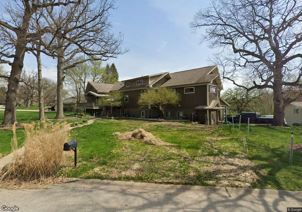
10 Robinhood Cir Oswego, IL 60543
North Oswego NeighborhoodEstimated Value: $446,000 - $483,495
3
Beds
3
Baths
2,520
Sq Ft
$187/Sq Ft
Est. Value
About This Home
This home is located at 10 Robinhood Cir, Oswego, IL 60543 and is currently estimated at $470,124, approximately $186 per square foot. 10 Robinhood Cir is a home located in Kendall County with nearby schools including Old Post Elementary School, Thompson Jr. High School, and Oswego High School.
Ownership History
Date
Name
Owned For
Owner Type
Purchase Details
Closed on
Nov 19, 2004
Sold by
Witte William W
Bought by
Antrim David Edward and Antrim Angela
Current Estimated Value
Purchase Details
Closed on
Sep 8, 2000
Sold by
Hughes Thomas D and Hughes Edith J
Bought by
Antrim David E and Antrim Angela M
Home Financials for this Owner
Home Financials are based on the most recent Mortgage that was taken out on this home.
Original Mortgage
$196,677
Interest Rate
7.98%
Mortgage Type
FHA
Purchase Details
Closed on
Dec 1, 1993
Bought by
Hughes Thomas D and Hughes Edith J
Create a Home Valuation Report for This Property
The Home Valuation Report is an in-depth analysis detailing your home's value as well as a comparison with similar homes in the area
Home Values in the Area
Average Home Value in this Area
Purchase History
| Date | Buyer | Sale Price | Title Company |
|---|---|---|---|
| Antrim David Edward | $1,500 | -- | |
| Antrim David E | $198,000 | Lawyers Title Insurance Corp | |
| Hughes Thomas D | $186,000 | -- |
Source: Public Records
Mortgage History
| Date | Status | Borrower | Loan Amount |
|---|---|---|---|
| Previous Owner | Antrim David E | $196,677 | |
| Closed | Hughes Thomas D | -- |
Source: Public Records
Tax History Compared to Growth
Tax History
| Year | Tax Paid | Tax Assessment Tax Assessment Total Assessment is a certain percentage of the fair market value that is determined by local assessors to be the total taxable value of land and additions on the property. | Land | Improvement |
|---|---|---|---|---|
| 2024 | $12,336 | $159,295 | $20,793 | $138,502 |
| 2023 | $9,272 | $143,509 | $18,732 | $124,777 |
| 2022 | $9,272 | $130,463 | $17,029 | $113,434 |
| 2021 | $9,138 | $125,445 | $16,374 | $109,071 |
| 2020 | $8,350 | $116,153 | $15,161 | $100,992 |
| 2019 | $7,601 | $106,972 | $15,161 | $91,811 |
| 2018 | $7,773 | $82,780 | $14,820 | $67,960 |
| 2017 | $7,871 | $82,780 | $14,820 | $67,960 |
| 2016 | $7,735 | $80,369 | $14,388 | $65,981 |
| 2015 | $7,941 | $78,793 | $14,106 | $64,687 |
| 2014 | -- | $76,498 | $13,695 | $62,803 |
| 2013 | -- | $77,270 | $13,833 | $63,437 |
Source: Public Records
Map
Nearby Homes
- 3 Orchard Rd
- 123 Orchard Rd
- 2 Orchard Rd
- 1451 Vintage Dr
- 22 Sherwick Rd
- 420 Chesterfield Ct Unit 420
- 170 Chicago Rd
- 101 Bell Ct
- 55 Garfield St
- 621 Mansfield Way
- 38 Ashlawn Ave
- 10 Crofton Rd
- 633 Mansfield Way
- 156 River Mist Dr
- 521 Litchfield Way
- 34 N Adams St
- 2110 State Route 31
- 141 River Mist Dr
- 177 Franklin St
- 704 Pomfret Ct
- 218 Orchard Ave
- 8 Robinhood Cir
- 214 Orchard Ave Unit 1
- 215 Orchard Ave
- 220 Orchard Ave
- 4 Robinhood Cir
- 1 Windcrest Dr
- 6 Robinhood Cir Unit 1
- 25 Partridge Square
- 000 Orchard Rd
- 1500 Orchard Rd
- 3200 Orchard Rd
- NEQ Orchard Rd
- 1300 Orchard Rd
- 3500 Orchard Rd
- 302 Orchard Ave
- 212 Orchard Ave Unit 1
- 23 Partridge Square
- 3 Windcrest Dr
- 3963 Us Highway 34