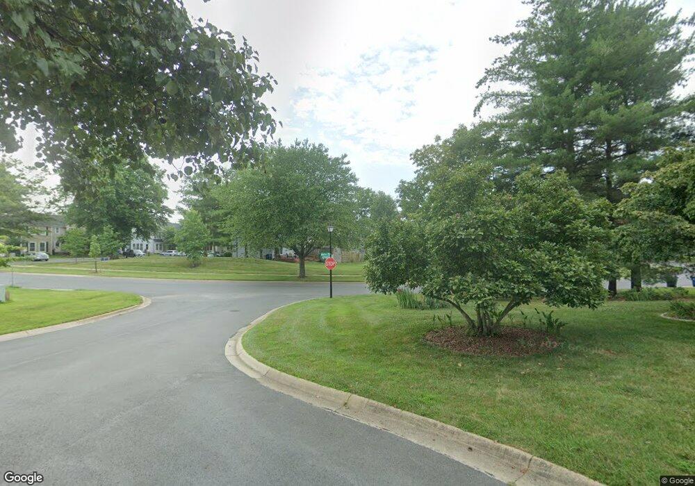
10 Rolling Fork Ct Gaithersburg, MD 20882
Estimated Value: $664,438 - $748,000
--
Bed
4
Baths
2,396
Sq Ft
$291/Sq Ft
Est. Value
About This Home
This home is located at 10 Rolling Fork Ct, Gaithersburg, MD 20882 and is currently estimated at $697,610, approximately $291 per square foot. 10 Rolling Fork Ct is a home located in Montgomery County with nearby schools including Forest Oak Middle School, Gaithersburg High School, and St Martin Of Tours School.
Ownership History
Date
Name
Owned For
Owner Type
Purchase Details
Closed on
Dec 17, 2007
Sold by
Lunsford Isabelle I Tr
Bought by
Lunsford Isabelle I Tr
Current Estimated Value
Purchase Details
Closed on
Oct 3, 2007
Sold by
Lunsford Robert D Et Al Tr
Bought by
Lunsford Isabelle I Et Al Tr
Purchase Details
Closed on
Sep 19, 2007
Sold by
Lunsford Robert D Et Al Tr
Bought by
Lunsford Isabelle I Et Al Tr
Purchase Details
Closed on
May 2, 2001
Sold by
Lunsford Robert D and Lunsford I I
Bought by
Lunsford Robert D Et Al Tr
Create a Home Valuation Report for This Property
The Home Valuation Report is an in-depth analysis detailing your home's value as well as a comparison with similar homes in the area
Home Values in the Area
Average Home Value in this Area
Purchase History
| Date | Buyer | Sale Price | Title Company |
|---|---|---|---|
| Lunsford Isabelle I Tr | -- | -- | |
| Lunsford Isabelle I Et Al Tr | -- | -- | |
| Lunsford Isabelle I Et Al Tr | -- | -- | |
| Lunsford Robert D Et Al Tr | -- | -- |
Source: Public Records
Tax History Compared to Growth
Tax History
| Year | Tax Paid | Tax Assessment Tax Assessment Total Assessment is a certain percentage of the fair market value that is determined by local assessors to be the total taxable value of land and additions on the property. | Land | Improvement |
|---|---|---|---|---|
| 2025 | $6,761 | $570,933 | -- | -- |
| 2024 | $6,761 | $519,467 | $0 | $0 |
| 2023 | $4,596 | $468,000 | $189,800 | $278,200 |
| 2022 | $4,337 | $462,167 | $0 | $0 |
| 2021 | $4,129 | $456,333 | $0 | $0 |
| 2020 | $4,129 | $450,500 | $189,800 | $260,700 |
| 2019 | $3,983 | $436,767 | $0 | $0 |
| 2018 | $3,858 | $423,033 | $0 | $0 |
| 2017 | $4,490 | $409,300 | $0 | $0 |
| 2016 | $4,716 | $409,300 | $0 | $0 |
| 2015 | $4,716 | $409,300 | $0 | $0 |
| 2014 | $4,716 | $414,000 | $0 | $0 |
Source: Public Records
Map
Nearby Homes
- 106 Hutton St
- 436 - 438 Diamond Ave
- 108 Bowsprit Ct
- 624 Whispering Wind Ct
- 14 Standard Ct
- 14 Benji Ct
- 36 Steven Ct
- 48 Anna Ct
- 502 Cobbler Place
- 10 Brian Ct
- 42 Brian Ct
- 436 Girard St Unit 104
- 128 Washington Grove Ln
- 30 Spring St
- 521 Paradise Ct
- 422 Girard St Unit 303
- 763 Cobbler Place
- 217 Central Ave
- 201 Washington Grove Ln
- 111 Spring St
- 14 Rolling Fork Ct
- 100 Rolling Rd
- 205 Dogwood Dr
- 102 Rolling Rd
- 15 Rolling Fork Ct
- 13 Rolling Fork Ct
- 17 Rolling Fork Ct
- 101 Rolling Rd
- 203 Dogwood Dr
- 104 Rolling Rd
- 103 Rolling Rd
- 103 Woodland Rd
- 101 Woodland Rd
- 303 Dogwood Dr
- 105 Rolling Rd
- 105 Woodland Rd
- 106 Rolling Rd
- 208 Dogwood Dr
- 206 Dogwood Dr
- 300 Dogwood Dr
