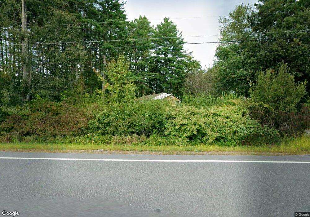
10 Route 13 Brookline, NH 03033
Estimated Value: $302,000 - $402,000
2
Beds
1
Bath
560
Sq Ft
$627/Sq Ft
Est. Value
About This Home
This home is located at 10 Route 13, Brookline, NH 03033 and is currently estimated at $351,040, approximately $626 per square foot. 10 Route 13 is a home located in Hillsborough County with nearby schools including Richard Maghakian Memorial School, Captain Samuel Douglass Academy, and Hollis-Brookline Middle School.
Ownership History
Date
Name
Owned For
Owner Type
Purchase Details
Closed on
Oct 7, 2009
Sold by
Rossiter Jack S
Bought by
Stone James S
Current Estimated Value
Home Financials for this Owner
Home Financials are based on the most recent Mortgage that was taken out on this home.
Original Mortgage
$80,000
Interest Rate
5.14%
Mortgage Type
Purchase Money Mortgage
Purchase Details
Closed on
Jun 29, 1999
Sold by
Leppanen Richard A and Leppanen Rosemarie
Bought by
Rossiter Jack S
Create a Home Valuation Report for This Property
The Home Valuation Report is an in-depth analysis detailing your home's value as well as a comparison with similar homes in the area
Home Values in the Area
Average Home Value in this Area
Purchase History
| Date | Buyer | Sale Price | Title Company |
|---|---|---|---|
| Stone James S | $125,000 | -- | |
| Rossiter Jack S | $65,000 | -- |
Source: Public Records
Mortgage History
| Date | Status | Borrower | Loan Amount |
|---|---|---|---|
| Open | Rossiter Jack S | $81,500 | |
| Closed | Rossiter Jack S | $80,000 | |
| Previous Owner | Rossiter Jack S | $49,000 | |
| Previous Owner | Rossiter Jack S | $35,000 |
Source: Public Records
Tax History Compared to Growth
Tax History
| Year | Tax Paid | Tax Assessment Tax Assessment Total Assessment is a certain percentage of the fair market value that is determined by local assessors to be the total taxable value of land and additions on the property. | Land | Improvement |
|---|---|---|---|---|
| 2024 | $6,136 | $271,400 | $144,900 | $126,500 |
| 2023 | $5,640 | $271,400 | $144,900 | $126,500 |
| 2022 | $4,972 | $167,300 | $87,300 | $80,000 |
| 2021 | $4,781 | $167,300 | $87,300 | $80,000 |
| 2020 | $4,651 | $167,300 | $87,300 | $80,000 |
| 2019 | $5,006 | $167,600 | $87,300 | $80,300 |
| 2018 | $4,954 | $167,600 | $87,300 | $80,300 |
| 2017 | $4,427 | $134,400 | $69,300 | $65,100 |
| 2016 | $4,370 | $134,200 | $69,300 | $64,900 |
| 2015 | $4,167 | $134,200 | $69,300 | $64,900 |
| 2014 | $4,408 | $134,200 | $69,300 | $64,900 |
| 2013 | $4,245 | $134,200 | $69,300 | $64,900 |
Source: Public Records
Map
Nearby Homes
- 364 Townsend Hill Rd
- 55 Oak Hill Rd
- 46 Oak Hill Rd
- 6 High Oaks Path
- 7 Winterberry Rd
- 9 Winterberry Rd
- 0 Brookline St
- 64 Meadow Rd
- 21 Cranberry St
- 6 Flint Meadow Dr
- 110 Haynes Rd
- 22 Hobart Hill Rd
- 105 West St
- 91 Highland St
- 75 Highland St
- 1235 Townsend Rd
- 167 Route 13
- 179 Brookline St
- 28A Rocky Pond Rd
- 10 Stearns Ave
- 1 Laurel Crest Dr
- 23 Route 13
- 3 Route 13
- 1 Barnaby Way
- 00 Route 13
- 3 Baldwin Dr
- 2 Laurel Crest Dr
- 2 Laurel Crest Dr
- 5 Baldwin Dr
- 4 Captain Douglas Dr
- 4 Captain Douglas Dr
- 4 Laurel Crest Dr
- 1 Baldwin Ln Unit 12
- 3 Barnaby Way
- 6 Laurel Crest Dr
- 5 Captain Douglas Dr
- 5 Captain Douglas Dr
- 5 Barnaby Way
- 9 Baldwin Dr
- 12 Baldwin Dr