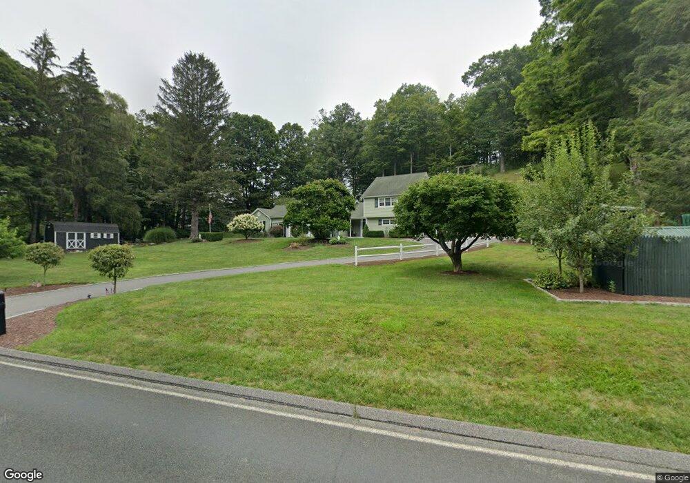
10 Route 39 N Sherman, CT 06784
Estimated Value: $369,000 - $754,000
3
Beds
3
Baths
2,702
Sq Ft
$228/Sq Ft
Est. Value
About This Home
This home is located at 10 Route 39 N, Sherman, CT 06784 and is currently estimated at $617,310, approximately $228 per square foot. 10 Route 39 N is a home located in Fairfield County with nearby schools including Sherman School.
Ownership History
Date
Name
Owned For
Owner Type
Purchase Details
Closed on
May 6, 1994
Sold by
Damia A Petis
Bought by
Moravsky Joseph S and Moravsky Robin C
Current Estimated Value
Home Financials for this Owner
Home Financials are based on the most recent Mortgage that was taken out on this home.
Original Mortgage
$128,000
Interest Rate
7.7%
Mortgage Type
Unknown
Create a Home Valuation Report for This Property
The Home Valuation Report is an in-depth analysis detailing your home's value as well as a comparison with similar homes in the area
Home Values in the Area
Average Home Value in this Area
Purchase History
| Date | Buyer | Sale Price | Title Company |
|---|---|---|---|
| Moravsky Joseph S | $105,000 | -- |
Source: Public Records
Mortgage History
| Date | Status | Borrower | Loan Amount |
|---|---|---|---|
| Open | Moravsky Joseph S | $150,000 | |
| Closed | Moravsky Joseph S | $128,000 | |
| Closed | Moravsky Joseph S | $128,000 |
Source: Public Records
Tax History Compared to Growth
Tax History
| Year | Tax Paid | Tax Assessment Tax Assessment Total Assessment is a certain percentage of the fair market value that is determined by local assessors to be the total taxable value of land and additions on the property. | Land | Improvement |
|---|---|---|---|---|
| 2025 | $4,773 | $286,300 | $69,800 | $216,500 |
| 2024 | $4,684 | $286,300 | $69,800 | $216,500 |
| 2023 | $5,102 | $286,300 | $69,800 | $216,500 |
| 2022 | $5,205 | $286,300 | $69,800 | $216,500 |
| 2021 | $6,729 | $286,300 | $69,800 | $216,500 |
| 2020 | $5,471 | $286,300 | $69,800 | $216,500 |
| 2019 | $3,493 | $286,300 | $69,800 | $216,500 |
| 2018 | $6,003 | $295,300 | $73,600 | $221,700 |
| 2017 | $5,723 | $281,500 | $73,600 | $207,900 |
| 2016 | $5,577 | $274,330 | $73,640 | $200,690 |
| 2015 | $5,498 | $274,330 | $73,640 | $200,690 |
| 2014 | $5,443 | $274,330 | $73,640 | $200,690 |
Source: Public Records
Map
Nearby Homes
- 7 Ridge Rd
- 6 Brinsmade Ln
- 21 Holiday Point Rd
- 2 Coburn Road W, She Coburn Rd W
- 18 Fox Run
- 8 Ledgewood Dr
- 4 Deer Run Trail
- 86 Connecticut 37
- 0 Sherman Rd
- 43 Meeting House Rd
- 8 Candleview Dr
- 12 Shadow Ln
- 0 Candlewood Mountain Rd Unit 24137997
- 0 Candlewood Mountain Rd Unit 24138000
- 0 Candlewood Mountain Rd Unit 24134055
- 9 Tallow Ln
- 5 Bridgeworth Ln
- 1 Kaylyn Ln
- 107 Church Rd
- 7 Glenview Dr