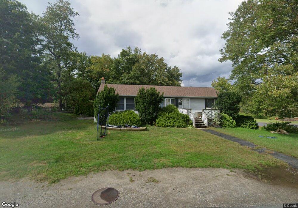
10 S High St Turners Falls, MA 01376
Estimated Value: $304,000 - $341,502
3
Beds
2
Baths
1,152
Sq Ft
$280/Sq Ft
Est. Value
About This Home
This home is located at 10 S High St, Turners Falls, MA 01376 and is currently estimated at $322,626, approximately $280 per square foot. 10 S High St is a home located in Franklin County with nearby schools including Holy Trinity School.
Ownership History
Date
Name
Owned For
Owner Type
Purchase Details
Closed on
Jul 25, 2016
Sold by
Galbraith Mary L
Bought by
Cousineau Timothy M and Cousineau Erica M
Current Estimated Value
Home Financials for this Owner
Home Financials are based on the most recent Mortgage that was taken out on this home.
Original Mortgage
$56,200
Outstanding Balance
$44,773
Interest Rate
3.6%
Mortgage Type
New Conventional
Estimated Equity
$277,853
Create a Home Valuation Report for This Property
The Home Valuation Report is an in-depth analysis detailing your home's value as well as a comparison with similar homes in the area
Home Values in the Area
Average Home Value in this Area
Purchase History
| Date | Buyer | Sale Price | Title Company |
|---|---|---|---|
| Cousineau Timothy M | $70,250 | -- | |
| Cousineau Timothy M | $70,250 | -- |
Source: Public Records
Mortgage History
| Date | Status | Borrower | Loan Amount |
|---|---|---|---|
| Open | Cousineau Timothy M | $56,200 | |
| Closed | Cousineau Timothy M | $56,200 |
Source: Public Records
Tax History Compared to Growth
Tax History
| Year | Tax Paid | Tax Assessment Tax Assessment Total Assessment is a certain percentage of the fair market value that is determined by local assessors to be the total taxable value of land and additions on the property. | Land | Improvement |
|---|---|---|---|---|
| 2025 | $4,073 | $267,800 | $54,700 | $213,100 |
| 2024 | $3,597 | $229,100 | $54,700 | $174,400 |
| 2023 | $3,448 | $220,300 | $54,700 | $165,600 |
| 2022 | $3,966 | $205,800 | $54,700 | $151,100 |
| 2021 | $3,296 | $189,000 | $45,200 | $143,800 |
| 2020 | $0 | $177,400 | $45,200 | $132,200 |
| 2019 | $2,986 | $174,300 | $49,900 | $124,400 |
| 2018 | $2,844 | $166,400 | $49,900 | $116,500 |
| 2017 | $2,774 | $166,400 | $49,900 | $116,500 |
| 2016 | $2,860 | $162,400 | $48,700 | $113,700 |
| 2015 | $2,754 | $162,400 | $48,700 | $113,700 |
| 2014 | $2,654 | $162,400 | $48,700 | $113,700 |
Source: Public Records
Map
Nearby Homes
- 38 Randall Wood Dr
- 109 Montague City Rd
- 93 Maple St
- 89 Montague St
- 114 Montague St
- 10 Tulip Ln
- 55 A + B Randall Rd
- 2 Orchard St
- 43 Crescent St
- 30 Grinnell St
- 202 Turnpike Rd
- 0 Millers Falls Rd Unit 73034825
- 45 Millers Falls Rd
- 0 Marshall St
- 2 Alice St
- 30 Park St
- 335 Federal St
- 73 Washington St
- 111-113 Deerfield St
- 227 Deerfield St
- 11 S High St
- 13 S High St
- 9 Turnpike Rd
- 8 Turnpike Rd
- 9 S High St
- 7 S High St
- 15 S High St
- 18 Turnpike Rd
- 21 Turnpike Rd
- 4 S High St
- 0 Turnpike Rd Unit 71589579
- 0 Turnpike Rd Unit 71871224
- 0 Turnpike Rd Unit 70382241
- 0 Turnpike Rd Unit 73042611
- 0 Turnpike Rd Unit 30241825
- 0 Turnpike Rd Unit 72739737
- 0 Turnpike Rd Unit 72619677
- 5 S High St
- 3 S High St
- 24 Turnpike Rd