Estimated Value: $576,911 - $628,000
3
Beds
2
Baths
1,750
Sq Ft
$345/Sq Ft
Est. Value
About This Home
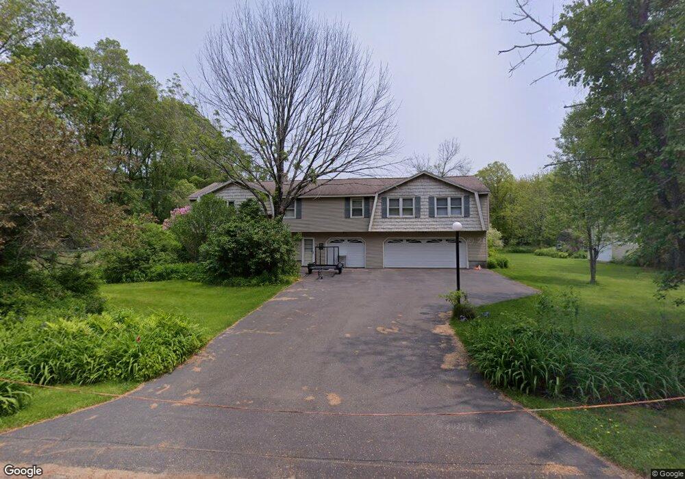
This home is located at 10 S Range Rd, Derry, NH 03038 and is currently estimated at $604,478, approximately $345 per square foot. 10 S Range Rd is a home located in Rockingham County with nearby schools including South Range Elementary School, West Running Brook Middle School, and Pinkerton Academy.
Create a Home Valuation Report for This Property
The Home Valuation Report is an in-depth analysis detailing your home's value as well as a comparison with similar homes in the area
Home Values in the Area
Average Home Value in this Area
Tax History
| Year | Tax Paid | Tax Assessment Tax Assessment Total Assessment is a certain percentage of the fair market value that is determined by local assessors to be the total taxable value of land and additions on the property. | Land | Improvement |
|---|---|---|---|---|
| 2025 | $10,053 | $529,400 | $239,700 | $289,700 |
| 2024 | $9,894 | $529,400 | $239,700 | $289,700 |
| 2023 | $9,440 | $456,500 | $203,700 | $252,800 |
| 2022 | $8,692 | $456,500 | $203,700 | $252,800 |
| 2021 | $8,733 | $352,700 | $157,600 | $195,100 |
| 2020 | $8,585 | $352,700 | $157,600 | $195,100 |
| 2019 | $7,896 | $302,300 | $108,500 | $193,800 |
| 2018 | $7,825 | $300,600 | $108,500 | $192,100 |
| 2017 | $8,078 | $279,900 | $103,500 | $176,400 |
| 2016 | $7,574 | $279,900 | $103,500 | $176,400 |
| 2015 | $7,664 | $262,200 | $103,500 | $158,700 |
| 2014 | $7,714 | $262,200 | $103,500 | $158,700 |
| 2013 | $7,913 | $251,300 | $101,500 | $149,800 |
Source: Public Records
Map
Nearby Homes
- 21 Berry Rd
- 6 Homestead Dr
- 56 Bedard Ave
- 51 Bedard Ave
- 139 Rockingham Rd Unit 21
- 17 Tyler Rd
- 18 Gervaise Dr
- 15 Windham Depot Rd Unit 37
- 144 Rockingham Rd
- 52 Windham Depot Rd
- 16 Towne Dr
- 43 Lampton Dr
- 8 Blueberry Rd Unit U: R
- 4 Westview Dr
- 12R Brian Ave Unit R
- 11 Phillip Rd Unit R
- 5 Stone Fence Dr
- 2 Brown Rd
- 89 Lane Rd
- 3L Little John Ct Unit L
Your Personal Tour Guide
Ask me questions while you tour the home.