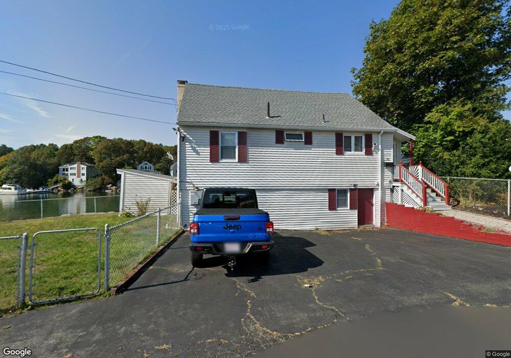
10 Samuel Riggs Cir Gloucester, MA 01930
Estimated Value: $674,000 - $2,004,000
3
Beds
2
Baths
1,248
Sq Ft
$1,057/Sq Ft
Est. Value
About This Home
This home is located at 10 Samuel Riggs Cir, Gloucester, MA 01930 and is currently estimated at $1,319,509, approximately $1,057 per square foot. 10 Samuel Riggs Cir is a home located in Essex County with nearby schools including Plum Cove School, Ralph B O'maley Middle School, and Gloucester High School.
Ownership History
Date
Name
Owned For
Owner Type
Purchase Details
Closed on
Apr 13, 2005
Sold by
Desantis Arthur F
Bought by
10 Samuel Riggs Cir Rt
Current Estimated Value
Purchase Details
Closed on
Jul 1, 1974
Bought by
Desantis Arthur F and Desantis Josephine
Create a Home Valuation Report for This Property
The Home Valuation Report is an in-depth analysis detailing your home's value as well as a comparison with similar homes in the area
Purchase History
| Date | Buyer | Sale Price | Title Company |
|---|---|---|---|
| 10 Samuel Riggs Cir Rt | -- | -- | |
| Desantis Arthur F | $51,000 | -- |
Source: Public Records
Tax History
| Year | Tax Paid | Tax Assessment Tax Assessment Total Assessment is a certain percentage of the fair market value that is determined by local assessors to be the total taxable value of land and additions on the property. | Land | Improvement |
|---|---|---|---|---|
| 2025 | $15,545 | $1,599,300 | $1,246,600 | $352,700 |
| 2024 | $14,765 | $1,517,500 | $1,154,300 | $363,200 |
| 2023 | $13,864 | $1,309,200 | $985,300 | $323,900 |
| 2022 | $13,078 | $1,114,900 | $856,600 | $258,300 |
| 2021 | $12,822 | $1,030,700 | $779,000 | $251,700 |
| 2020 | $12,610 | $1,022,700 | $779,000 | $243,700 |
| 2019 | $12,311 | $970,100 | $742,700 | $227,400 |
| 2018 | $12,092 | $935,200 | $724,600 | $210,600 |
| 2017 | $11,705 | $887,400 | $690,000 | $197,400 |
| 2016 | $11,382 | $836,300 | $659,800 | $176,500 |
| 2015 | $11,035 | $808,400 | $644,800 | $163,600 |
Source: Public Records
Map
Nearby Homes
- 2 Breezy Point Rd
- 672 Washington St
- 3 Deacon Farm Ln
- 13 Honeysuckle Rd
- 31 Echo Ave
- 167 Atlantic St
- 226 Atlantic St
- 13 Mystic Ave
- 8 Mystic Ave
- 6 Monroe Ct
- 98 Maplewood Ave
- 40 Sargent St
- 19 Trask St Unit 2
- 7 Colburn St
- 15 Harvard St
- 33 Maplewood Ave Unit 310
- 113 Pleasant St
- 145 Essex Ave Unit 402
- 15 Mount Vernon St
- 20 Beacon St
- 12 Samuel Riggs Cir
- 3 Samuel Riggs Cir
- 6 Samuel Riggs Cir
- 14 Samuel Riggs Cir
- 5 Samuel Riggs Cir
- 1 Samuel Riggs Cir
- 4 Samuel Riggs Cir
- 16 Samuel Riggs Cir
- 2 Riggs Point Rd
- 39 Vine St
- 39 Vine St Unit WINTER
- 34 Vine St
- 40 Vine St
- 32 Riverside Rd
- 3 Hills Rd
- 43 Vine St
- 4 Riggs Point Rd
- 28 Riverside Rd
- 42 Vine St
- 42 Vine St Unit 2
Your Personal Tour Guide
Ask me questions while you tour the home.