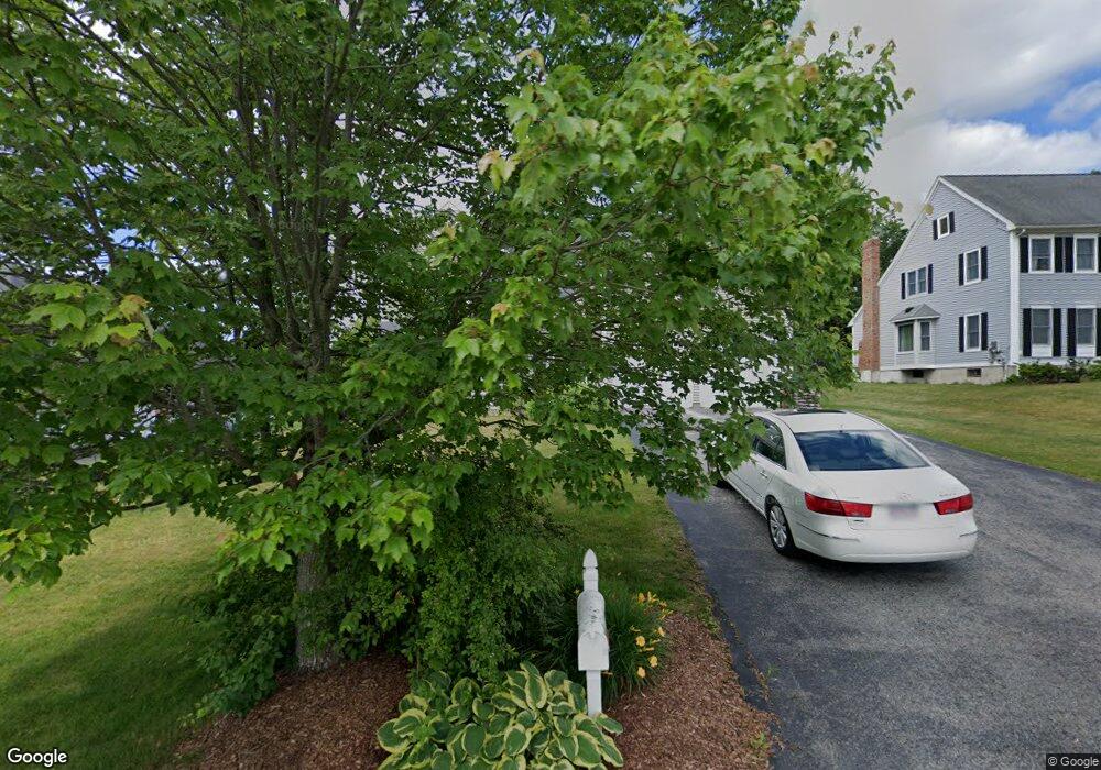
10 Saybrook Way Auburn, MA 01501
Pakachoag NeighborhoodEstimated Value: $776,000 - $867,000
4
Beds
3
Baths
2,537
Sq Ft
$319/Sq Ft
Est. Value
About This Home
This home is located at 10 Saybrook Way, Auburn, MA 01501 and is currently estimated at $810,058, approximately $319 per square foot. 10 Saybrook Way is a home located in Worcester County with nearby schools including Auburn Senior High School and Shrewsbury Montessori School - Auburn Campus.
Ownership History
Date
Name
Owned For
Owner Type
Purchase Details
Closed on
Sep 22, 2003
Sold by
Emerson Homes Inc
Bought by
Bregman Colleen M and Bregman Howard P
Current Estimated Value
Home Financials for this Owner
Home Financials are based on the most recent Mortgage that was taken out on this home.
Original Mortgage
$230,000
Outstanding Balance
$107,210
Interest Rate
6.31%
Mortgage Type
Purchase Money Mortgage
Estimated Equity
$702,848
Create a Home Valuation Report for This Property
The Home Valuation Report is an in-depth analysis detailing your home's value as well as a comparison with similar homes in the area
Home Values in the Area
Average Home Value in this Area
Purchase History
| Date | Buyer | Sale Price | Title Company |
|---|---|---|---|
| Bregman Colleen M | $449,900 | -- |
Source: Public Records
Mortgage History
| Date | Status | Borrower | Loan Amount |
|---|---|---|---|
| Open | Bregman Colleen M | $230,000 |
Source: Public Records
Tax History Compared to Growth
Tax History
| Year | Tax Paid | Tax Assessment Tax Assessment Total Assessment is a certain percentage of the fair market value that is determined by local assessors to be the total taxable value of land and additions on the property. | Land | Improvement |
|---|---|---|---|---|
| 2025 | $105 | $736,800 | $176,300 | $560,500 |
| 2024 | $10,730 | $718,700 | $169,700 | $549,000 |
| 2023 | $10,081 | $634,800 | $144,000 | $490,800 |
| 2022 | $9,270 | $551,100 | $144,000 | $407,100 |
| 2021 | $9,115 | $502,500 | $127,200 | $375,300 |
| 2020 | $9,035 | $502,500 | $127,200 | $375,300 |
| 2019 | $5,744 | $491,300 | $126,100 | $365,200 |
| 2018 | $8,851 | $480,000 | $117,900 | $362,100 |
| 2017 | $5,312 | $467,200 | $106,900 | $360,300 |
| 2016 | $8,367 | $462,500 | $110,300 | $352,200 |
| 2015 | $8,019 | $464,600 | $110,300 | $354,300 |
| 2014 | $7,898 | $456,800 | $104,900 | $351,900 |
Source: Public Records
Map
Nearby Homes
- 1 Amesbury St
- 104 Elmwood St
- 204-212 Hampton St
- 148 Hampton St
- 61 Elmwood St
- 15 Lesley Ave
- 32 Field St
- 7 Manor Rd
- 45 Jerome Ave
- 47 Washington St Unit 26
- 40 Sophia Dr
- 113 Washington St Unit 9
- 28 Bittersweet Blvd
- 22 Bittersweet Blvd
- 7 W Hampton St
- 306 Greenwood St
- 55 Tennyson St
- 29 Steele St
- 16 Pinrock Rd
- 19 Forest Dr