Estimated Value: $425,500 - $476,000
2
Beds
1
Bath
1,969
Sq Ft
$228/Sq Ft
Est. Value
About This Home
This home is located at 10 Scott Ave, Weare, NH 03281 and is currently estimated at $448,875, approximately $227 per square foot. 10 Scott Ave is a home with nearby schools including Center Woods Elementary School, Weare Middle School, and John Stark Regional High School.
Create a Home Valuation Report for This Property
The Home Valuation Report is an in-depth analysis detailing your home's value as well as a comparison with similar homes in the area
Home Values in the Area
Average Home Value in this Area
Tax History Compared to Growth
Tax History
| Year | Tax Paid | Tax Assessment Tax Assessment Total Assessment is a certain percentage of the fair market value that is determined by local assessors to be the total taxable value of land and additions on the property. | Land | Improvement |
|---|---|---|---|---|
| 2024 | $5,911 | $289,900 | $102,700 | $187,200 |
| 2023 | $5,462 | $289,900 | $102,700 | $187,200 |
| 2022 | $5,048 | $290,100 | $102,700 | $187,400 |
| 2021 | $4,990 | $290,100 | $102,700 | $187,400 |
| 2020 | $4,915 | $205,200 | $73,600 | $131,600 |
| 2019 | $4,865 | $205,200 | $73,600 | $131,600 |
| 2018 | $4,726 | $205,200 | $73,600 | $131,600 |
| 2016 | $4,559 | $203,800 | $73,600 | $130,200 |
| 2015 | $4,312 | $192,400 | $65,400 | $127,000 |
| 2014 | $4,273 | $192,400 | $65,400 | $127,000 |
| 2013 | $4,150 | $190,800 | $65,400 | $125,400 |
Source: Public Records
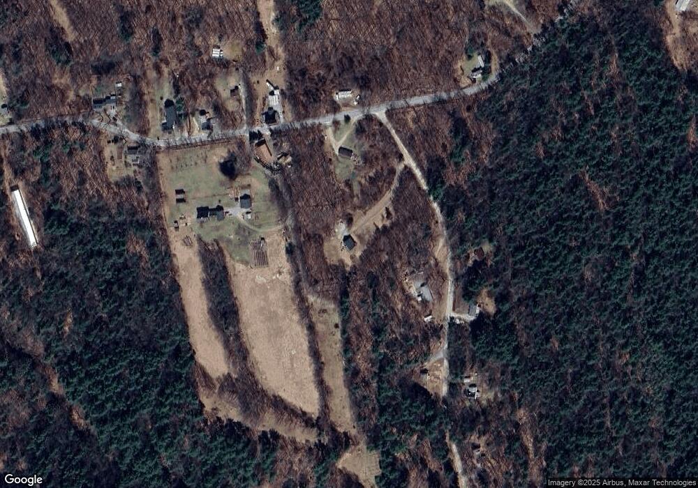
Map
Nearby Homes
- 92 Woodbury Rd
- 281 Hodgdon Rd
- 108 E Shore Dr
- 30 Dels Way
- 101-125 Winslow Rd
- 10 Sap House Rd
- 194 Buckley Rd Unit 2
- 194 Buckley Rd Unit 44
- 107 Branch Rd
- 62 Collins Landing Rd Unit 46
- Lot 13 E Deering Rd
- 463 Craney Hill Rd
- 0 Huntington Hill Rd Unit 69
- 196 Deering Center Rd
- 11 White Birch Rd
- 586 C-4 Craney Hill Rd
- 849 River Rd
- 0 Als Dr Unit 196
- 200 Mountain Rd
- 624 S Stark Hwy