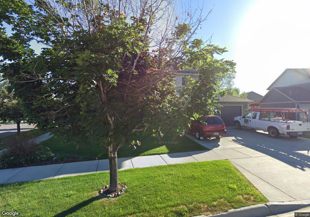
10 Scott Dr Bozeman, MT 59718
Estimated Value: $741,589 - $1,142,000
3
Beds
4
Baths
2,865
Sq Ft
$298/Sq Ft
Est. Value
About This Home
This home is located at 10 Scott Dr, Bozeman, MT 59718 and is currently estimated at $853,647, approximately $297 per square foot. 10 Scott Dr is a home located in Gallatin County with nearby schools including Ridge View Elementary School, Belgrade High School, and Hearts & Hands Montessori School.
Ownership History
Date
Name
Owned For
Owner Type
Purchase Details
Closed on
May 28, 2011
Sold by
Sunrise Homes Llc
Bought by
Olson Jeanine R
Current Estimated Value
Home Financials for this Owner
Home Financials are based on the most recent Mortgage that was taken out on this home.
Original Mortgage
$287,197
Outstanding Balance
$197,490
Interest Rate
4.73%
Mortgage Type
New Conventional
Estimated Equity
$656,157
Purchase Details
Closed on
Dec 20, 2010
Sold by
Gallatin Heights Llc
Bought by
Sunrise Homes Llc
Create a Home Valuation Report for This Property
The Home Valuation Report is an in-depth analysis detailing your home's value as well as a comparison with similar homes in the area
Purchase History
| Date | Buyer | Sale Price | Title Company |
|---|---|---|---|
| Olson Jeanine R | -- | First American Title Company | |
| Sunrise Homes Llc | -- | Insured Titles |
Source: Public Records
Mortgage History
| Date | Status | Borrower | Loan Amount |
|---|---|---|---|
| Open | Olson Jeanine R | $287,197 |
Source: Public Records
Map
Nearby Homes
- TBD Jackrabbit Fremont Ln
- TBD Fremont St
- 2603 Fremont St
- 2505 Fremont St
- 2605 Fremont St
- 339 Heights Cir
- 693 Cameron Loop
- Lot 11 Walleye Rd
- 166 King Meadows Ln
- 233 Sage Grouse Dr
- 472 Walleye Rd Unit 69
- 515 Walleye Rd Unit 205
- 376 Walleye Rd Unit 55
- 215 Sage Grouse Dr
- Lot 2 Redpoll St
- Lot 1 Redpoll St
- 48 Ari Dr Unit 26
- Lot 10 Crossbill Rd
- Lot 15 Sage Grouse Dr
- Lot 14 Sage Grouse Dr
- 28 Scott Dr
- 461 Stewart Loop
- 147 Mammoth Fork Dr
- 15 Scott Dr
- 125 Mammoth Fork Dr
- 36 Scott Dr
- 107 Mammoth Fork Dr
- 423 Stewart Loop
- 45 Scott Dr
- 161 Mammoth Fork Dr
- 54 Scott Dr
- 401 Stewart Loop
- 523 Stewart Loop
- 186 Mammoth Fork Dr
- 175 Mammoth Fork Dr
- 67 Scott Dr
- 22 Connor Dr
- 34 Connor Dr
- 381 Stewart Loop
- Lot 4, Block 15 Gallatin Heights Sub Phase 5b
Your Personal Tour Guide
Ask me questions while you tour the home.