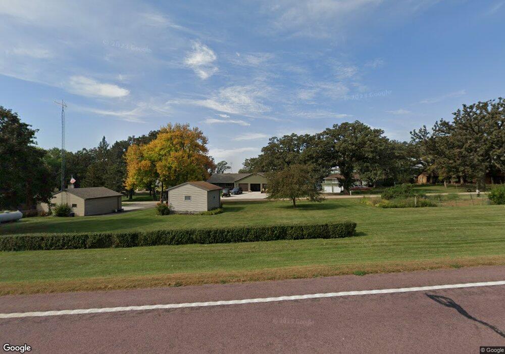
10 Service Ln Fairmont, MN 56031
Estimated Value: $478,000 - $721,404
3
Beds
1
Bath
2,454
Sq Ft
$253/Sq Ft
Est. Value
About This Home
This home is located at 10 Service Ln, Fairmont, MN 56031 and is currently estimated at $621,851, approximately $253 per square foot. 10 Service Ln is a home located in Martin County with nearby schools including Fairmont Elementary School and Fairmont Junior/Senior High School.
Ownership History
Date
Name
Owned For
Owner Type
Purchase Details
Closed on
Nov 15, 2013
Sold by
Frick Steven D and Frick Janice M
Bought by
Deneui Dennis A and Deneui Kathleen R
Current Estimated Value
Purchase Details
Closed on
Oct 25, 2012
Sold by
Wilson James A and Estate Of Hazel Nielsen
Bought by
Frick Steven D and Frick Janicem
Home Financials for this Owner
Home Financials are based on the most recent Mortgage that was taken out on this home.
Original Mortgage
$85,000
Interest Rate
3.51%
Mortgage Type
Reverse Mortgage Home Equity Conversion Mortgage
Create a Home Valuation Report for This Property
The Home Valuation Report is an in-depth analysis detailing your home's value as well as a comparison with similar homes in the area
Home Values in the Area
Average Home Value in this Area
Purchase History
| Date | Buyer | Sale Price | Title Company |
|---|---|---|---|
| Deneui Dennis A | $9,000 | None Available | |
| Frick Steven D | $85,000 | None Available |
Source: Public Records
Mortgage History
| Date | Status | Borrower | Loan Amount |
|---|---|---|---|
| Previous Owner | Frick Steven D | $85,000 |
Source: Public Records
Tax History Compared to Growth
Tax History
| Year | Tax Paid | Tax Assessment Tax Assessment Total Assessment is a certain percentage of the fair market value that is determined by local assessors to be the total taxable value of land and additions on the property. | Land | Improvement |
|---|---|---|---|---|
| 2025 | $4,446 | $670,200 | $115,600 | $554,600 |
| 2024 | $1,232 | $563,100 | $105,600 | $457,500 |
| 2023 | $712 | $185,600 | $105,600 | $80,000 |
| 2022 | $334 | $74,700 | $74,700 | $0 |
| 2021 | $530 | $73,700 | $73,700 | $0 |
| 2020 | $570 | $61,500 | $61,500 | $0 |
| 2019 | $580 | $61,500 | $61,500 | $0 |
| 2018 | $528 | $53,800 | $53,800 | $0 |
| 2017 | $502 | $53,800 | $53,800 | $0 |
| 2016 | $480 | $53,800 | $53,800 | $0 |
| 2015 | $432 | $53,800 | $53,800 | $0 |
| 2013 | $938 | $93,900 | $66,000 | $27,900 |
Source: Public Records
Map
Nearby Homes
- 1011 Iowa 15
- 276 180th Ave
- 775 200th Ave
- Lot 5 200th Ave
- Lot 1 200th Ave
- Lot 2 200th Ave
- Lot 3 200th Ave
- Lot 4 200th Ave
- Lot 6 200th Ave
- 2109 95th St
- 2224 Red Bird Ln
- 2218 Red Bird Ln
- 2214 Red Bird Ln
- 2413 Albion Ave
- 1910 Knollwood Dr
- 1600 S Prairie Ave
- 1581 Meadowlark Ln
- 0 Co Rd 39 190th Ave
- 190th Ave
- 1415 Oak Beach Dr
- 10 Silver Lake Dr
- 8 Silver Lake Dr
- 14 Service Ln
- 14 Silver Lake Dr
- 11 Silver Lake Dr
- 6 Service Ln
- 6 Silver Lake Dr
- 16 Silver Lake Dr
- 4 Silver Lake Dr
- 20 Silver Lake Dr
- 20 Silver Lake Dr
- 247 200th Ave
- 22 Silver Lake Dr
- 265 200th Ave
- 24 Silver Lake Dr
- 24 Service Ln
- 267 200th Ave
- 26 Silver Lake Dr
- 269 200th Ave
- 271 200th Ave