10 Shaw Rd Brimfield, MA 01010
Estimated Value: $720,000 - $1,191,000
4
Beds
3
Baths
3,901
Sq Ft
$238/Sq Ft
Est. Value
About This Home
This home is located at 10 Shaw Rd, Brimfield, MA 01010 and is currently estimated at $927,379, approximately $237 per square foot. 10 Shaw Rd is a home located in Hampden County with nearby schools including Brimfield Elementary School, Tantasqua Regional Junior High School, and Tantasqua Regional High School.
Ownership History
Date
Name
Owned For
Owner Type
Purchase Details
Closed on
Jan 5, 2012
Sold by
Kaitbenski Brian P and Kaitbenski Donna
Bought by
Mayo David K and Mayo Kristin L
Current Estimated Value
Create a Home Valuation Report for This Property
The Home Valuation Report is an in-depth analysis detailing your home's value as well as a comparison with similar homes in the area
Home Values in the Area
Average Home Value in this Area
Purchase History
| Date | Buyer | Sale Price | Title Company |
|---|---|---|---|
| Mayo David K | -- | -- |
Source: Public Records
Mortgage History
| Date | Status | Borrower | Loan Amount |
|---|---|---|---|
| Previous Owner | Mayo David K | $408,627 | |
| Previous Owner | Mayo David K | $263,000 | |
| Previous Owner | Mayo David K | $20,000 |
Source: Public Records
Tax History Compared to Growth
Tax History
| Year | Tax Paid | Tax Assessment Tax Assessment Total Assessment is a certain percentage of the fair market value that is determined by local assessors to be the total taxable value of land and additions on the property. | Land | Improvement |
|---|---|---|---|---|
| 2025 | $14,020 | $991,500 | $129,700 | $861,800 |
| 2024 | $13,658 | $934,200 | $122,800 | $811,400 |
| 2023 | $13,263 | $872,000 | $122,800 | $749,200 |
| 2022 | $12,556 | $764,200 | $114,900 | $649,300 |
| 2021 | $12,397 | $706,400 | $114,900 | $591,500 |
| 2020 | $11,978 | $677,900 | $114,900 | $563,000 |
| 2019 | $11,482 | $645,800 | $114,900 | $530,900 |
| 2018 | $11,043 | $645,800 | $114,900 | $530,900 |
| 2017 | $10,753 | $645,800 | $114,900 | $530,900 |
| 2016 | $10,853 | $628,800 | $110,200 | $518,600 |
| 2015 | $10,349 | $616,400 | $110,200 | $506,200 |
| 2014 | $10,121 | $616,400 | $110,200 | $506,200 |
Source: Public Records
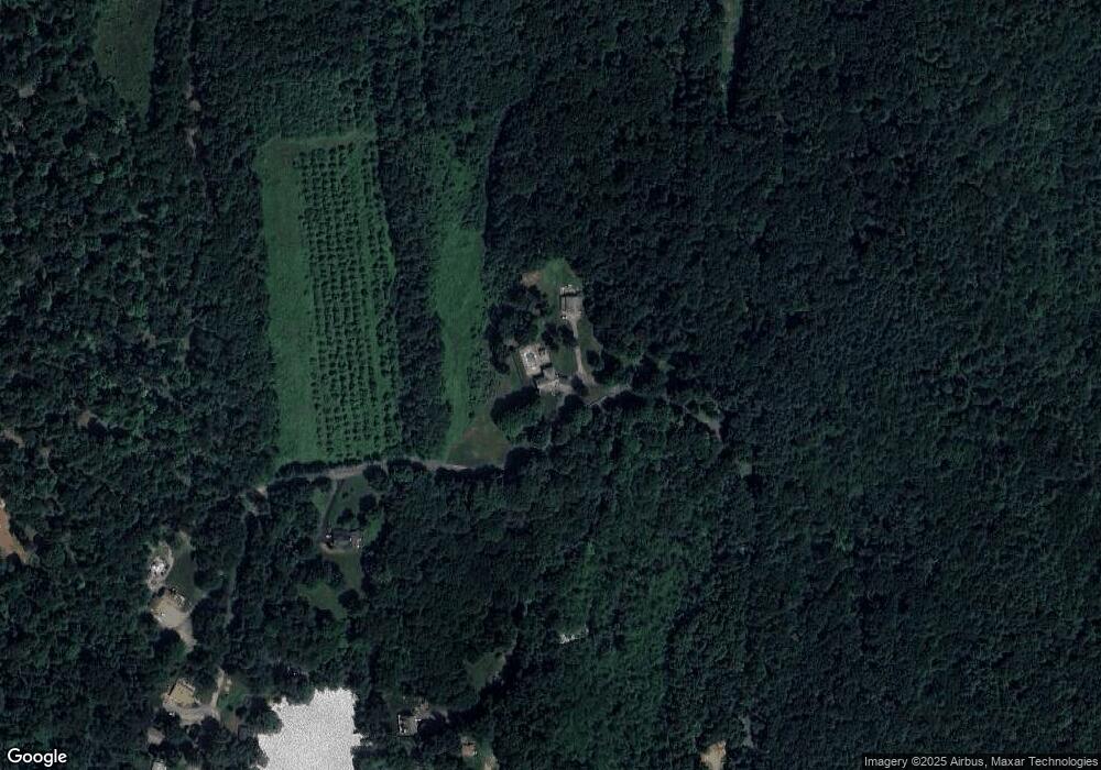
Map
Nearby Homes
- 79 7th St
- 224 E Hill Rd
- 97 Apple Rd
- 44 Little Alum Rd
- 0 Brookfield Rd
- 139 E Hill Rd
- 314 The Trail
- 293 Brookfield Rd
- 30 Little Rest Rd
- 79 Paradise Ln
- 85 E Hill Rd
- 243 Brookfield Rd
- 8 Oakwood Rd
- 621 Main St
- 7 Meadow View Ln
- 16 Summit Ave
- 116 Brookfield Rd
- 0 Old Sturbridge Rd
- 213 Cedar St
- 0 Hillside Dr