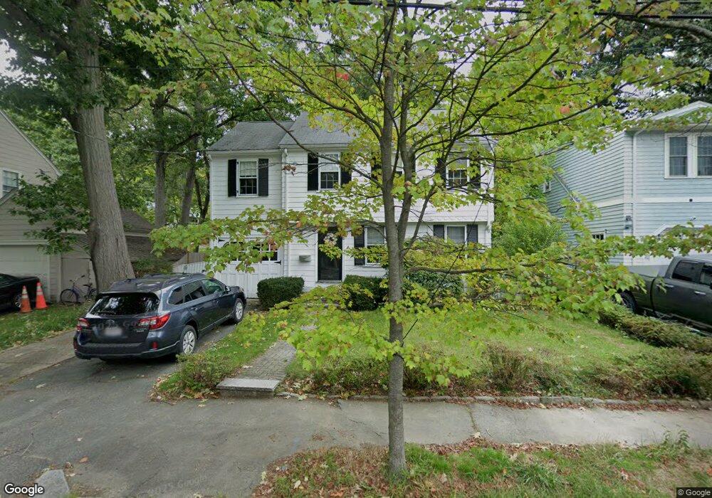
10 Sherrin Rd Chestnut Hill, MA 02467
South Brookline NeighborhoodEstimated Value: $1,124,501 - $1,225,000
3
Beds
1
Bath
1,682
Sq Ft
$703/Sq Ft
Est. Value
About This Home
This home is located at 10 Sherrin Rd, Chestnut Hill, MA 02467 and is currently estimated at $1,182,125, approximately $702 per square foot. 10 Sherrin Rd is a home located in Norfolk County with nearby schools including Baker School, Brookline High School, and Holy Name Parish School.
Create a Home Valuation Report for This Property
The Home Valuation Report is an in-depth analysis detailing your home's value as well as a comparison with similar homes in the area
Home Values in the Area
Average Home Value in this Area
Tax History
| Year | Tax Paid | Tax Assessment Tax Assessment Total Assessment is a certain percentage of the fair market value that is determined by local assessors to be the total taxable value of land and additions on the property. | Land | Improvement |
|---|---|---|---|---|
| 2025 | $10,087 | $1,022,000 | $609,100 | $412,900 |
| 2024 | $9,599 | $982,500 | $585,600 | $396,900 |
| 2023 | $8,888 | $891,500 | $474,900 | $416,600 |
| 2022 | $8,651 | $849,000 | $452,300 | $396,700 |
| 2021 | $8,001 | $816,400 | $434,900 | $381,500 |
| 2020 | $7,285 | $770,900 | $395,300 | $375,600 |
| 2019 | $6,879 | $734,200 | $376,500 | $357,700 |
| 2018 | $6,884 | $727,700 | $376,500 | $351,200 |
| 2017 | $6,783 | $686,500 | $355,100 | $331,400 |
| 2016 | $6,685 | $641,600 | $331,900 | $309,700 |
| 2015 | $6,357 | $595,200 | $310,200 | $285,000 |
| 2014 | $6,323 | $555,100 | $282,100 | $273,000 |
Source: Public Records
Map
Nearby Homes
- 67 Risley Rd
- 206 Allandale Rd Unit 3C
- 214 Allandale Rd Unit B
- 91 Grove St
- 37 Morey Rd
- 17 Fairgreen Place
- 87 Buchanan Rd
- 227 Bonad Rd
- 55 Bellingham Rd
- 170 Bonad Rd
- 55 Fairgreen Place
- 36 Goodnough Rd
- 72 Wallis Rd
- 12 Allandale St
- 33 Meadowbrook Rd
- 2 Brownson Terrace
- 60 Alberta Rd
- 2 Weld Hill St Unit PH2
- 333 Goddard Ave Unit 333
- 62 Ainsworth St
Your Personal Tour Guide
Ask me questions while you tour the home.