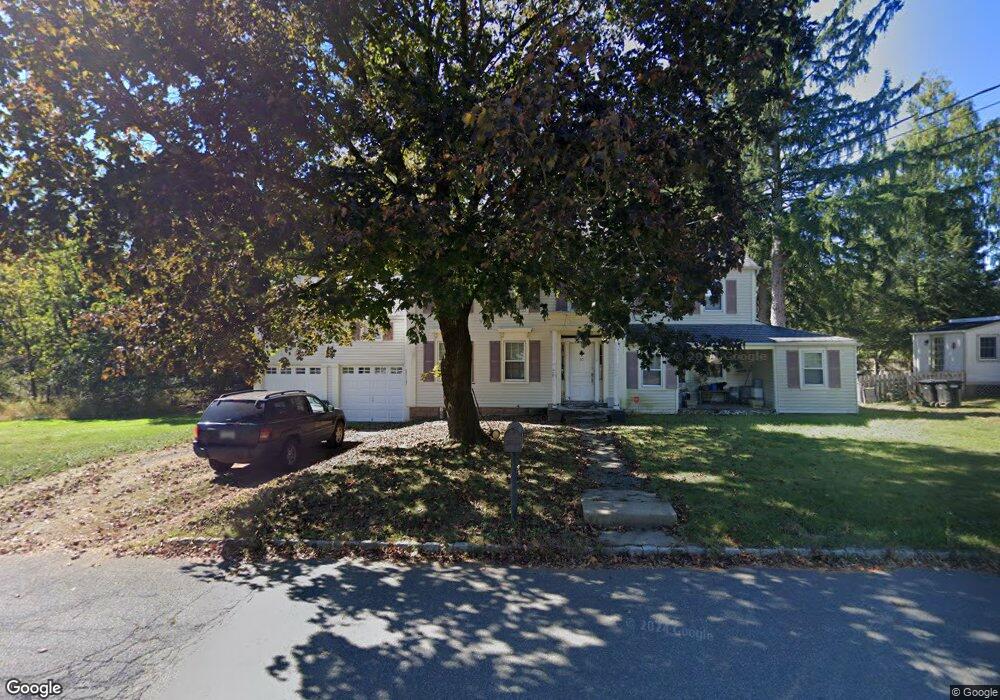
10 Shields Ave Flemington, NJ 08822
Estimated Value: $482,485 - $630,000
Studio
--
Bath
2,606
Sq Ft
$222/Sq Ft
Est. Value
About This Home
This home is located at 10 Shields Ave, Flemington, NJ 08822 and is currently estimated at $577,621, approximately $221 per square foot. 10 Shields Ave is a home located in Hunterdon County with nearby schools including Robert Hunter Elementary School, Reading Fleming Intermediate School, and J.P. Case Middle School.
Ownership History
Date
Name
Owned For
Owner Type
Purchase Details
Closed on
Jul 15, 1998
Sold by
Louis Giovanni
Bought by
Hlatke Michael J and Hlatke Elyse
Current Estimated Value
Home Financials for this Owner
Home Financials are based on the most recent Mortgage that was taken out on this home.
Original Mortgage
$156,000
Outstanding Balance
$31,703
Interest Rate
6.92%
Estimated Equity
$545,918
Purchase Details
Closed on
Aug 19, 1997
Sold by
Mulherin Joseph
Bought by
Louis Giovanni and Giovannni Carol
Home Financials for this Owner
Home Financials are based on the most recent Mortgage that was taken out on this home.
Original Mortgage
$143,000
Interest Rate
7.41%
Purchase Details
Closed on
Jan 14, 1991
Sold by
Bellavance James R and Bellavance Kerri T
Bought by
Mulherin Joseph H and Mulherin Lissa P
Create a Home Valuation Report for This Property
The Home Valuation Report is an in-depth analysis detailing your home's value as well as a comparison with similar homes in the area
Home Values in the Area
Average Home Value in this Area
Purchase History
| Date | Buyer | Sale Price | Title Company |
|---|---|---|---|
| Hlatke Michael J | $192,500 | -- | |
| Louis Giovanni | $179,000 | -- | |
| Mulherin Joseph H | $144,000 | -- |
Source: Public Records
Mortgage History
| Date | Status | Borrower | Loan Amount |
|---|---|---|---|
| Open | Hlatke Michael J | $156,000 | |
| Previous Owner | Louis Giovanni | $143,000 |
Source: Public Records
Tax History
| Year | Tax Paid | Tax Assessment Tax Assessment Total Assessment is a certain percentage of the fair market value that is determined by local assessors to be the total taxable value of land and additions on the property. | Land | Improvement |
|---|---|---|---|---|
| 2025 | $9,488 | $327,500 | $177,400 | $150,100 |
| 2024 | $8,921 | $327,500 | $177,400 | $150,100 |
| 2023 | $8,921 | $327,500 | $177,400 | $150,100 |
| 2022 | $8,695 | $327,500 | $177,400 | $150,100 |
| 2021 | $8,250 | $327,500 | $177,400 | $150,100 |
| 2020 | $8,420 | $327,500 | $177,400 | $150,100 |
| 2019 | $8,250 | $327,500 | $177,400 | $150,100 |
| 2018 | $8,148 | $327,500 | $177,400 | $150,100 |
| 2017 | $8,024 | $327,500 | $177,400 | $150,100 |
| 2016 | $7,880 | $327,500 | $177,400 | $150,100 |
| 2015 | $7,680 | $327,500 | $177,400 | $150,100 |
| 2014 | $7,578 | $327,500 | $177,400 | $150,100 |
Source: Public Records
Map
Nearby Homes
Your Personal Tour Guide
Ask me questions while you tour the home.