10 Shore Rd Standish, ME 04084
Estimated Value: $244,423 - $329,000
3
Beds
1
Bath
718
Sq Ft
$406/Sq Ft
Est. Value
About This Home
This home is located at 10 Shore Rd, Standish, ME 04084 and is currently estimated at $291,606, approximately $406 per square foot. 10 Shore Rd is a home located in Cumberland County with nearby schools including Bonny Eagle High School and Standish Baptist Academy.
Ownership History
Date
Name
Owned For
Owner Type
Purchase Details
Closed on
Apr 25, 2024
Sold by
Noonan Kevin M and Tirabassi Kelly N
Bought by
Carl L Berry Llc
Current Estimated Value
Purchase Details
Closed on
Jun 13, 2023
Sold by
Nooonan Patricia A Est and Noonan
Bought by
Noonan Kevin M and Tirabassi Kelly N
Purchase Details
Closed on
Jan 6, 2006
Sold by
Marjorie F Dangelo Qprt F and Marjorie Bannon
Bought by
Dangelo William F and Dangelo Eugene J
Create a Home Valuation Report for This Property
The Home Valuation Report is an in-depth analysis detailing your home's value as well as a comparison with similar homes in the area
Home Values in the Area
Average Home Value in this Area
Purchase History
| Date | Buyer | Sale Price | Title Company |
|---|---|---|---|
| Carl L Berry Llc | -- | None Available | |
| Carl L Berry Llc | -- | None Available | |
| Noonan Kevin M | -- | None Available | |
| Noonan Kevin M | -- | None Available | |
| Dangelo William F | -- | -- | |
| Dangelo William F | -- | -- |
Source: Public Records
Tax History Compared to Growth
Tax History
| Year | Tax Paid | Tax Assessment Tax Assessment Total Assessment is a certain percentage of the fair market value that is determined by local assessors to be the total taxable value of land and additions on the property. | Land | Improvement |
|---|---|---|---|---|
| 2024 | $2,022 | $160,500 | $123,900 | $36,600 |
| 2023 | $1,752 | $126,500 | $96,500 | $30,000 |
| 2022 | $1,585 | $109,700 | $85,500 | $24,200 |
| 2021 | $1,511 | $100,700 | $77,600 | $23,100 |
| 2019 | $1,420 | $99,300 | $77,000 | $22,300 |
| 2018 | $1,362 | $98,000 | $75,700 | $22,300 |
| 2017 | $1,299 | $98,000 | $75,700 | $22,300 |
| 2016 | $1,256 | $98,000 | $75,700 | $22,300 |
| 2015 | $1,253 | $98,000 | $75,700 | $22,300 |
| 2013 | $1,125 | $93,100 | $70,800 | $22,300 |
Source: Public Records
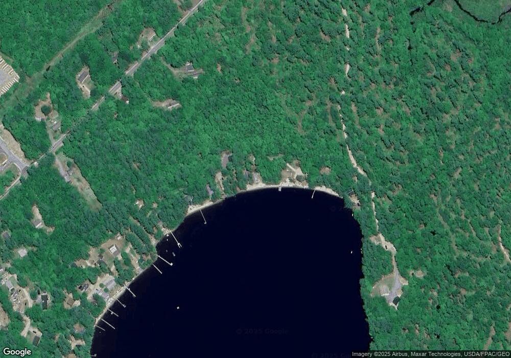
Map
Nearby Homes
- 580 Bonny Eagle Rd
- 47 Proprietors Rd
- Lot 2 Commerce Way
- 541 Cape Rd
- 379 Bonny Eagle Rd
- 7 Pelletier Dr
- Lot 8 Pelletier Dr
- Lot 10 Pelletier Dr
- 125 Old Thompson Rd
- 135 Bonny Eagle Rd
- 17 Fox Track
- 170&0 Cram Rd
- 324 Ossipee Trail W Unit 2
- 21 Deer Hill Ave
- 23 Bonny Eagle Rd
- 4 Pelletier Dr
- 21 Holiday Ln
- 2 Bonny Eagle Rd
- 9 Holiday Ln
- 95 Skip Rd