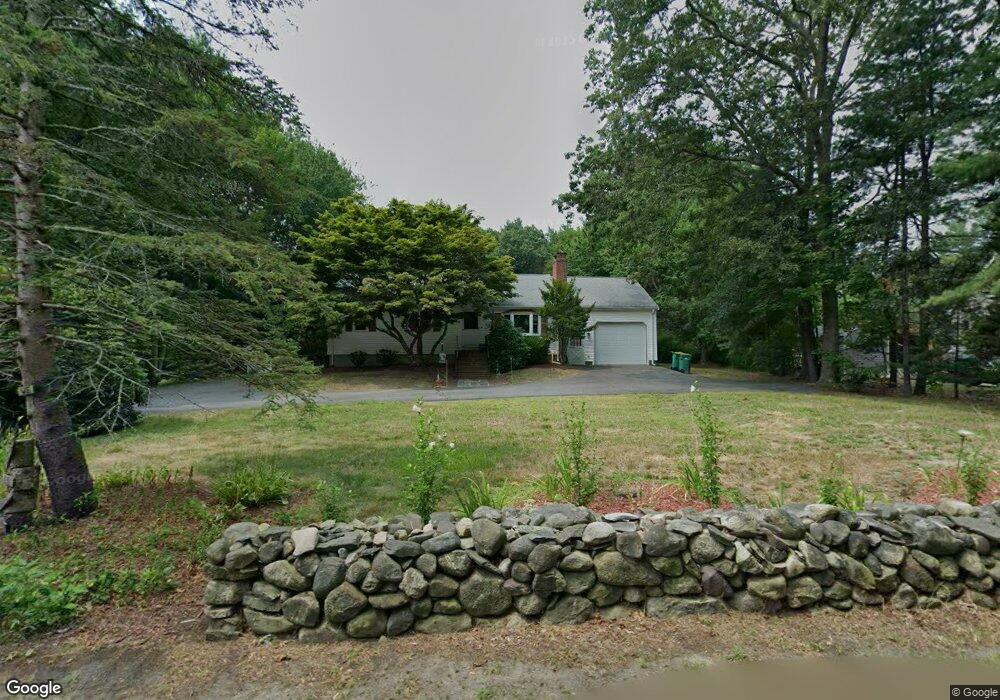
10 Short St Mansfield, MA 02048
Estimated Value: $574,000 - $670,000
3
Beds
2
Baths
1,092
Sq Ft
$554/Sq Ft
Est. Value
About This Home
This home is located at 10 Short St, Mansfield, MA 02048 and is currently estimated at $604,561, approximately $553 per square foot. 10 Short St is a home located in Bristol County with nearby schools including Jordan/Jackson Elementary School, Everett W. Robinson Elementary School, and Harold L. Qualters Middle School.
Ownership History
Date
Name
Owned For
Owner Type
Purchase Details
Closed on
May 28, 2008
Sold by
Joseph W Shulsk Lt
Bought by
Monti Michelle Lee
Current Estimated Value
Home Financials for this Owner
Home Financials are based on the most recent Mortgage that was taken out on this home.
Original Mortgage
$283,500
Outstanding Balance
$180,614
Interest Rate
5.91%
Mortgage Type
Purchase Money Mortgage
Estimated Equity
$423,947
Purchase Details
Closed on
Jul 25, 2006
Sold by
Shulsk Joseph W
Bought by
Joseph W Shulsk Lt
Create a Home Valuation Report for This Property
The Home Valuation Report is an in-depth analysis detailing your home's value as well as a comparison with similar homes in the area
Home Values in the Area
Average Home Value in this Area
Purchase History
| Date | Buyer | Sale Price | Title Company |
|---|---|---|---|
| Monti Michelle Lee | $315,000 | -- | |
| Joseph W Shulsk Lt | -- | -- |
Source: Public Records
Mortgage History
| Date | Status | Borrower | Loan Amount |
|---|---|---|---|
| Open | Monti Michelle Lee | $283,500 |
Source: Public Records
Tax History Compared to Growth
Tax History
| Year | Tax Paid | Tax Assessment Tax Assessment Total Assessment is a certain percentage of the fair market value that is determined by local assessors to be the total taxable value of land and additions on the property. | Land | Improvement |
|---|---|---|---|---|
| 2025 | $6,440 | $489,000 | $242,000 | $247,000 |
| 2024 | $6,060 | $448,900 | $242,000 | $206,900 |
| 2023 | $5,953 | $422,500 | $242,000 | $180,500 |
| 2022 | $5,766 | $380,100 | $224,000 | $156,100 |
| 2021 | $5,620 | $365,900 | $196,100 | $169,800 |
| 2020 | $5,398 | $351,400 | $186,700 | $164,700 |
| 2019 | $5,003 | $328,700 | $155,500 | $173,200 |
| 2018 | $4,690 | $301,200 | $148,300 | $152,900 |
| 2017 | $4,587 | $305,400 | $144,100 | $161,300 |
| 2016 | $4,523 | $293,500 | $137,200 | $156,300 |
| 2015 | $4,156 | $268,100 | $137,200 | $130,900 |
Source: Public Records
Map
Nearby Homes
- 711 Ware St
- 460 Ware St
- 442 Ware St
- 24 Barberry Rd
- 18 Columbine Rd
- 5 Ian Keats Dr
- 22 S Lakeview Rd
- 24 Hawthorne Rd
- 15 Reservoir St Unit 44
- 21 Juniper Rd
- 0 Kensington Rd
- 245 Willow St
- 0 Brook Pkwy
- 15 Patten Rd
- Nine Patten Rd
- 12 Wilson Place
- 40 Patten Rd
- 136 N Washington St Unit 6
- 0 Knollwood & 0 Rear Kensington
- 4 Shadybrook Ln