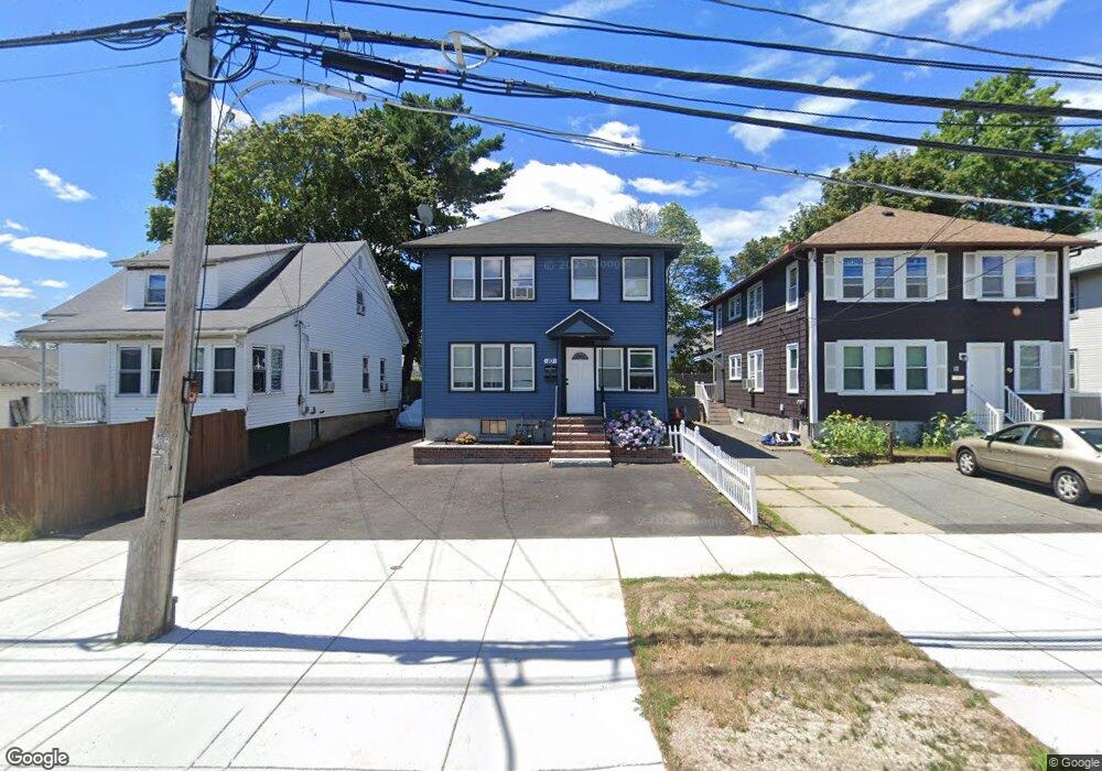
10 Sohier Rd Beverly, MA 01915
Gloucester Crossing NeighborhoodEstimated Value: $667,000 - $804,921
4
Beds
2
Baths
1,906
Sq Ft
$371/Sq Ft
Est. Value
About This Home
This home is located at 10 Sohier Rd, Beverly, MA 01915 and is currently estimated at $706,230, approximately $370 per square foot. 10 Sohier Rd is a home located in Essex County with nearby schools including Beverly High School, Harborlight Montessori School, and Shore Country Day School.
Ownership History
Date
Name
Owned For
Owner Type
Purchase Details
Closed on
May 1, 2002
Sold by
Phf Rt and Riquier
Bought by
Osmani Ilir and Osmani Dhurata
Current Estimated Value
Home Financials for this Owner
Home Financials are based on the most recent Mortgage that was taken out on this home.
Original Mortgage
$231,300
Outstanding Balance
$95,125
Interest Rate
7.13%
Mortgage Type
Purchase Money Mortgage
Estimated Equity
$611,105
Create a Home Valuation Report for This Property
The Home Valuation Report is an in-depth analysis detailing your home's value as well as a comparison with similar homes in the area
Home Values in the Area
Average Home Value in this Area
Purchase History
| Date | Buyer | Sale Price | Title Company |
|---|---|---|---|
| Osmani Ilir | $257,000 | -- |
Source: Public Records
Mortgage History
| Date | Status | Borrower | Loan Amount |
|---|---|---|---|
| Open | Osmani Ilir | $85,850 | |
| Closed | Osmani Ilir | $18,000 | |
| Open | Osmani Ilir | $231,300 | |
| Previous Owner | Osmani Ilir | $113,300 |
Source: Public Records
Tax History
| Year | Tax Paid | Tax Assessment Tax Assessment Total Assessment is a certain percentage of the fair market value that is determined by local assessors to be the total taxable value of land and additions on the property. | Land | Improvement |
|---|---|---|---|---|
| 2025 | $7,515 | $683,800 | $352,100 | $331,700 |
| 2024 | $6,963 | $620,000 | $288,300 | $331,700 |
| 2023 | $6,462 | $573,900 | $259,100 | $314,800 |
| 2022 | $6,317 | $519,100 | $204,300 | $314,800 |
| 2021 | $6,111 | $481,200 | $195,200 | $286,000 |
| 2020 | $5,459 | $454,900 | $173,500 | $281,400 |
| 2019 | $4,582 | $386,800 | $132,500 | $254,300 |
| 2018 | $4,508 | $331,500 | $108,000 | $223,500 |
| 2017 | $4,427 | $310,000 | $79,800 | $230,200 |
| 2016 | $4,108 | $285,500 | $79,800 | $205,700 |
| 2015 | $4,028 | $285,500 | $79,800 | $205,700 |
Source: Public Records
Map
Nearby Homes
- 6 Charles St
- 9 Swan St Unit 2
- 40 Heather St Unit 204
- 34 Chase St
- 94 Essex St
- 348 Rantoul St Unit 202
- The Cabot Collection
- 315 Rantoul St Unit 406
- 28 Arthur St Unit 3
- 17 Pond St
- 50 Balch St Unit 300
- 50 Balch St Unit 200
- 50 Balch St Unit 205
- 50 Balch St Unit 308
- 50 Balch St Unit 511
- 50 Balch St Unit 209
- 50 Balch St Unit 409
- 50 Balch St Unit 316
- 50 Balch St Unit 315
- 50 Balch St Unit 103
Your Personal Tour Guide
Ask me questions while you tour the home.