10 Split Rock Dr Wolcott, CT 06716
Estimated Value: $384,000 - $422,000
3
Beds
3
Baths
1,652
Sq Ft
$242/Sq Ft
Est. Value
About This Home
This home is located at 10 Split Rock Dr, Wolcott, CT 06716 and is currently estimated at $399,538, approximately $241 per square foot. 10 Split Rock Dr is a home located in New Haven County with nearby schools including Tyrrell Middle School and Wolcott High School.
Ownership History
Date
Name
Owned For
Owner Type
Purchase Details
Closed on
Oct 7, 1994
Sold by
Mantz David C and Mantz Mary Ellen
Bought by
Davino John D and Davino Tamy M
Current Estimated Value
Home Financials for this Owner
Home Financials are based on the most recent Mortgage that was taken out on this home.
Original Mortgage
$100,000
Interest Rate
8.55%
Mortgage Type
Unknown
Purchase Details
Closed on
Jan 12, 1990
Sold by
Neale John P
Bought by
Mantz David C
Create a Home Valuation Report for This Property
The Home Valuation Report is an in-depth analysis detailing your home's value as well as a comparison with similar homes in the area
Home Values in the Area
Average Home Value in this Area
Purchase History
| Date | Buyer | Sale Price | Title Company |
|---|---|---|---|
| Davino John D | $125,000 | -- | |
| Mantz David C | $136,000 | -- |
Source: Public Records
Mortgage History
| Date | Status | Borrower | Loan Amount |
|---|---|---|---|
| Open | Mantz David C | $40,000 | |
| Closed | Mantz David C | $95,000 | |
| Closed | Mantz David C | $100,000 | |
| Previous Owner | Mantz David C | $107,200 |
Source: Public Records
Tax History
| Year | Tax Paid | Tax Assessment Tax Assessment Total Assessment is a certain percentage of the fair market value that is determined by local assessors to be the total taxable value of land and additions on the property. | Land | Improvement |
|---|---|---|---|---|
| 2025 | $7,060 | $196,490 | $38,140 | $158,350 |
| 2024 | $6,498 | $196,490 | $38,140 | $158,350 |
| 2023 | $6,262 | $196,490 | $38,140 | $158,350 |
| 2022 | $6,052 | $196,490 | $38,140 | $158,350 |
| 2021 | $5,796 | $174,900 | $36,150 | $138,750 |
| 2020 | $5,796 | $174,900 | $36,150 | $138,750 |
| 2019 | $5,796 | $174,900 | $36,150 | $138,750 |
| 2018 | $5,632 | $174,900 | $36,150 | $138,750 |
| 2017 | $5,469 | $174,900 | $36,150 | $138,750 |
| 2016 | $5,384 | $186,240 | $36,810 | $149,430 |
| 2015 | $5,230 | $186,240 | $36,810 | $149,430 |
| 2014 | $5,060 | $186,240 | $36,810 | $149,430 |
Source: Public Records
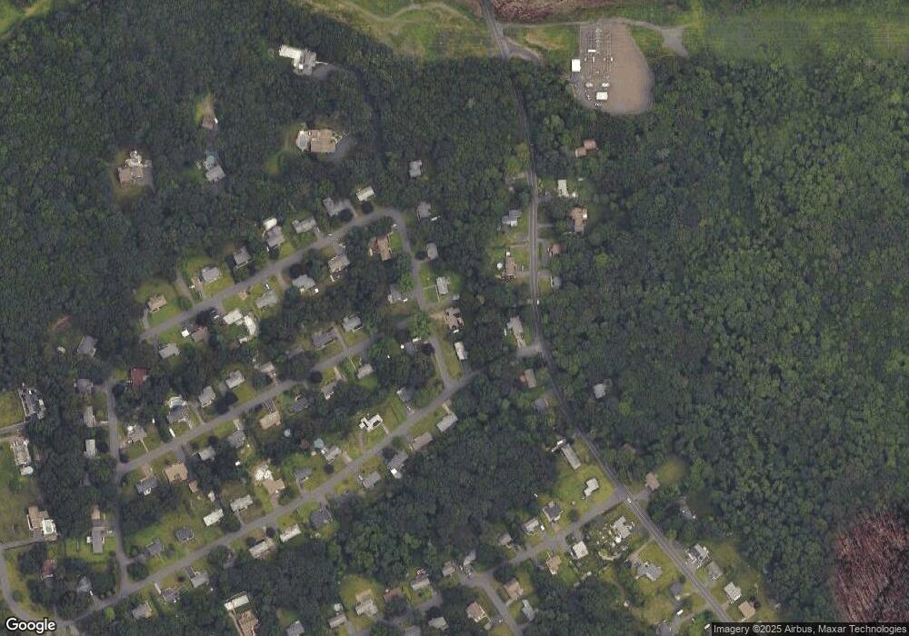
Map
Nearby Homes
- 0 Woodtick Rd Unit 24119429
- 3 Pimlico Rd
- 47 Arvida Rd
- 443 Todd Rd
- 312 Celia Dr
- 16 Crosswinds Ln
- 0 Arvida Rd Unit 24054898
- 188 Beth Ln
- 00 Woodtick Rd
- 870 Woodtick Rd
- 20 Wolf Hill Rd Unit 1A
- Lot 167 Shelton Ave
- 40 Leaf Ave
- 27 Amber Place
- 1400 Meriden Rd Unit 5-2
- 21 Irene Ave
- 25 Norris St
- 30 Woodglen Dr Unit 7B2
- 41 Diane Terrace
- 7 Pratt Ln
Your Personal Tour Guide
Ask me questions while you tour the home.