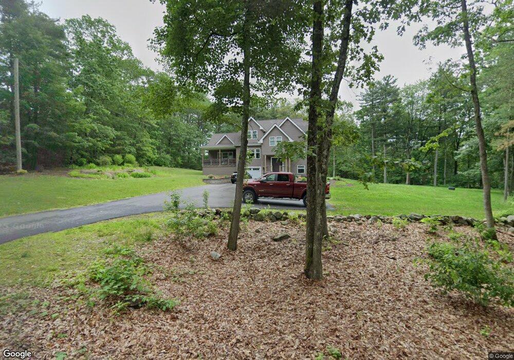
10 Spring Rd Londonderry, NH 03053
Estimated Value: $579,000 - $751,000
2
Beds
1
Bath
1,747
Sq Ft
$383/Sq Ft
Est. Value
About This Home
This home is located at 10 Spring Rd, Londonderry, NH 03053 and is currently estimated at $669,364, approximately $383 per square foot. 10 Spring Rd is a home located in Rockingham County with nearby schools including Matthew Thornton Elementary School, Londonderry Middle School, and Londonderry Senior High School.
Ownership History
Date
Name
Owned For
Owner Type
Purchase Details
Closed on
Dec 29, 2011
Sold by
Chevy Chase Funding Ll
Bought by
Benard Jacqueline
Current Estimated Value
Home Financials for this Owner
Home Financials are based on the most recent Mortgage that was taken out on this home.
Original Mortgage
$139,200
Outstanding Balance
$95,523
Interest Rate
4%
Estimated Equity
$573,841
Purchase Details
Closed on
Feb 7, 2011
Sold by
Graczyk Dee-Ann P
Bought by
Us Bank Na Tr
Create a Home Valuation Report for This Property
The Home Valuation Report is an in-depth analysis detailing your home's value as well as a comparison with similar homes in the area
Home Values in the Area
Average Home Value in this Area
Purchase History
| Date | Buyer | Sale Price | Title Company |
|---|---|---|---|
| Benard Jacqueline | $174,000 | -- | |
| Us Bank Na Tr | $166,400 | -- |
Source: Public Records
Mortgage History
| Date | Status | Borrower | Loan Amount |
|---|---|---|---|
| Open | Us Bank Na Tr | $139,200 | |
| Previous Owner | Us Bank Na Tr | $88,000 |
Source: Public Records
Tax History Compared to Growth
Tax History
| Year | Tax Paid | Tax Assessment Tax Assessment Total Assessment is a certain percentage of the fair market value that is determined by local assessors to be the total taxable value of land and additions on the property. | Land | Improvement |
|---|---|---|---|---|
| 2024 | $9,644 | $597,500 | $199,900 | $397,600 |
| 2023 | $9,351 | $597,500 | $199,900 | $397,600 |
| 2022 | $8,758 | $473,900 | $149,800 | $324,100 |
| 2021 | $8,710 | $473,900 | $149,800 | $324,100 |
| 2020 | $8,000 | $397,800 | $112,400 | $285,400 |
| 2019 | $7,713 | $397,800 | $112,400 | $285,400 |
| 2018 | $7,092 | $325,300 | $93,700 | $231,600 |
| 2017 | $7,030 | $325,300 | $93,700 | $231,600 |
| 2016 | $6,994 | $325,300 | $93,700 | $231,600 |
| 2015 | $6,838 | $325,300 | $93,700 | $231,600 |
| 2014 | $6,861 | $325,300 | $93,700 | $231,600 |
| 2011 | -- | $238,100 | $93,700 | $144,400 |
Source: Public Records
Map
Nearby Homes
- 20 Wedgewood Dr
- 57 Hardy Rd
- 10 Judy Dr
- 6 Sugar Plum Ln
- 107a Gilcreast Rd Unit A
- 267 Winding Pond Rd
- 214 Winding Pond Rd
- 47 Winding Pond Rd
- 118 Fieldstone Dr Unit 118
- 169 Fieldstone Dr
- 40 Elise Ave Unit Lot 20
- 24 Jefferson St
- 1 Elise Ave Unit Lot 96
- 36 Elise Ave Unit Lot 18
- 75 Rockingham Rd
- 193 Fieldstone Dr
- 193 Fieldstone Dr Unit 193
- 7 Elise Ave Unit Lot 93
- 8 Elise Ave Unit Lot 4
- 111 Winterwood Dr