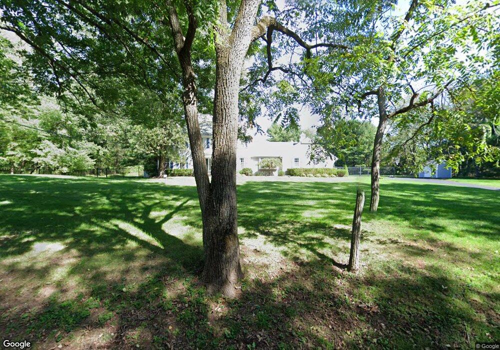
10 Springtown Rd Whitehouse Station, NJ 08889
Readington NeighborhoodEstimated Value: $759,917 - $994,000
--
Bed
--
Bath
2,565
Sq Ft
$342/Sq Ft
Est. Value
About This Home
This home is located at 10 Springtown Rd, Whitehouse Station, NJ 08889 and is currently estimated at $877,979, approximately $342 per square foot. 10 Springtown Rd is a home located in Hunterdon County with nearby schools including Hunterdon Central Regional High School District.
Ownership History
Date
Name
Owned For
Owner Type
Purchase Details
Closed on
Jun 1, 2005
Sold by
Convery James H and Convery Kathleen H
Bought by
Vandal Eric and Vandal Holly A
Current Estimated Value
Home Financials for this Owner
Home Financials are based on the most recent Mortgage that was taken out on this home.
Original Mortgage
$465,000
Outstanding Balance
$243,226
Interest Rate
5.79%
Mortgage Type
Fannie Mae Freddie Mac
Estimated Equity
$634,753
Purchase Details
Closed on
Nov 10, 1988
Sold by
Groben Richard and Groben Anne
Bought by
Convery James H and Convery Kathleen H
Create a Home Valuation Report for This Property
The Home Valuation Report is an in-depth analysis detailing your home's value as well as a comparison with similar homes in the area
Home Values in the Area
Average Home Value in this Area
Purchase History
| Date | Buyer | Sale Price | Title Company |
|---|---|---|---|
| Vandal Eric | $715,000 | -- | |
| Convery James H | $347,000 | -- |
Source: Public Records
Mortgage History
| Date | Status | Borrower | Loan Amount |
|---|---|---|---|
| Open | Vandal Eric | $465,000 |
Source: Public Records
Tax History Compared to Growth
Tax History
| Year | Tax Paid | Tax Assessment Tax Assessment Total Assessment is a certain percentage of the fair market value that is determined by local assessors to be the total taxable value of land and additions on the property. | Land | Improvement |
|---|---|---|---|---|
| 2025 | $14,463 | $551,800 | $187,000 | $364,800 |
| 2024 | $14,341 | $551,800 | $187,000 | $364,800 |
| 2023 | $14,341 | $551,800 | $187,000 | $364,800 |
| 2022 | $13,972 | $551,800 | $187,000 | $364,800 |
| 2021 | $13,194 | $551,800 | $187,000 | $364,800 |
| 2020 | $13,450 | $442,300 | $159,300 | $283,000 |
| 2019 | $13,194 | $442,300 | $159,300 | $283,000 |
| 2018 | $12,986 | $442,300 | $159,300 | $283,000 |
| 2017 | $12,685 | $442,300 | $159,300 | $283,000 |
| 2016 | $12,384 | $442,300 | $159,300 | $283,000 |
| 2015 | $12,185 | $442,300 | $159,300 | $283,000 |
| 2014 | $12,035 | $442,300 | $159,300 | $283,000 |
Source: Public Records
Map
Nearby Homes
- 101 Dreahook Rd
- 121 Stanton Mountain Rd
- 14 Chamberlain Rd
- 4 Chamberlain Rd
- 1025 523 Route
- 201 Hankinson Rd
- 21 Country Place
- 11 Creek Rd
- 1023 Barley Sheaf Rd
- 602 Route 523
- 525 Stanton Station Rd
- 10 E Dreahook Rd
- 18 Flintlock Rd
- 29 Bressler Rd
- 10 Jacobus Ln
- 17 E Dreahook Rd
- 3 Smith Rd
- 1062 County Road 523
- 6 Fawn Ridge Rd
- 5 Chrystal Dr
- 12 Springtown Rd
- 2 Campbells Brook Rd
- 3 Strawberry Ct
- 4 Campbells Brook Rd
- 1 Campbells Brook Rd
- 14 Springtown Rd
- 13 Springtown Rd
- 6 Campbells Brook Rd
- 4 Strawberry Ct
- 15 Springtown Rd
- 3 Campbells Brook Rd
- 5 Strawberry Ct
- 8 Springtown Rd
- 4 Sunnyfield Dr
- 2 Sunnyfield Dr
- 11 Springtown Rd
- 2 Strawberry Ct
- 8 Campbells Brook Rd
- 17 Springtown Rd
- 6 Sunnyfield Dr