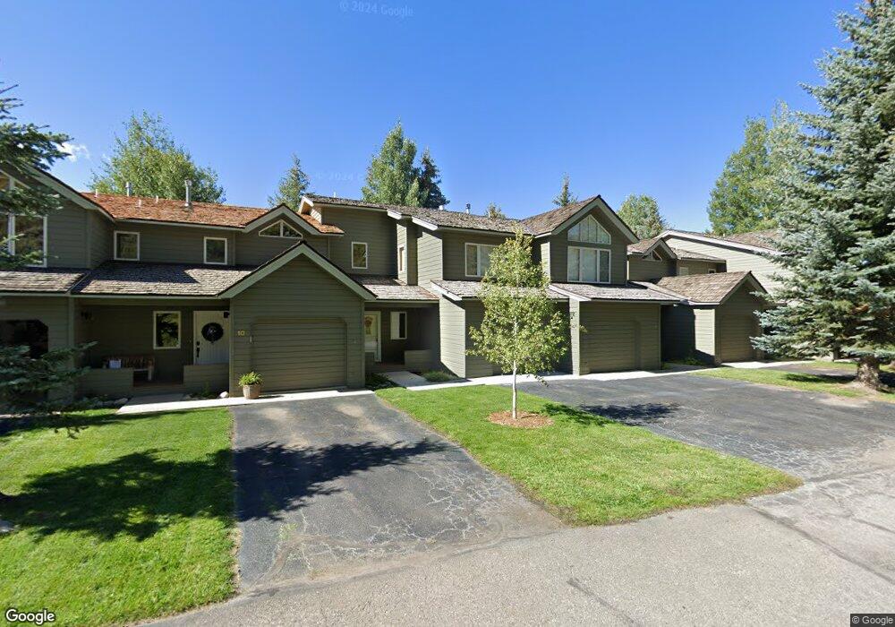
10 St Andrews Cir Crested Butte, CO 81224
Estimated Value: $815,000 - $1,089,000
2
Beds
3
Baths
1,253
Sq Ft
$762/Sq Ft
Est. Value
About This Home
This home is located at 10 St Andrews Cir, Crested Butte, CO 81224 and is currently estimated at $954,726, approximately $761 per square foot. 10 St Andrews Cir is a home located in Gunnison County with nearby schools including Gunnison Elementary School, Crested Butte Community School, and Gunnison Middle School.
Ownership History
Date
Name
Owned For
Owner Type
Purchase Details
Closed on
May 23, 2005
Sold by
Bell Elizabeth Walker
Bought by
Hibbeln Charles E and Hibbeln Jill G
Current Estimated Value
Home Financials for this Owner
Home Financials are based on the most recent Mortgage that was taken out on this home.
Original Mortgage
$215,000
Outstanding Balance
$112,318
Interest Rate
5.87%
Mortgage Type
New Conventional
Estimated Equity
$842,408
Purchase Details
Closed on
Mar 19, 2004
Sold by
Young Carl H
Bought by
Bell Elizabeth Walker
Purchase Details
Closed on
Dec 30, 1996
Purchase Details
Closed on
Nov 7, 1994
Create a Home Valuation Report for This Property
The Home Valuation Report is an in-depth analysis detailing your home's value as well as a comparison with similar homes in the area
Home Values in the Area
Average Home Value in this Area
Purchase History
| Date | Buyer | Sale Price | Title Company |
|---|---|---|---|
| Hibbeln Charles E | $365,000 | None Available | |
| Bell Elizabeth Walker | $258,000 | -- | |
| -- | $228,300 | -- | |
| -- | $202,000 | -- |
Source: Public Records
Mortgage History
| Date | Status | Borrower | Loan Amount |
|---|---|---|---|
| Open | Hibbeln Charles E | $215,000 |
Source: Public Records
Tax History Compared to Growth
Tax History
| Year | Tax Paid | Tax Assessment Tax Assessment Total Assessment is a certain percentage of the fair market value that is determined by local assessors to be the total taxable value of land and additions on the property. | Land | Improvement |
|---|---|---|---|---|
| 2024 | $3,485 | $49,350 | $0 | $49,350 |
| 2023 | $3,485 | $45,670 | $0 | $45,670 |
| 2022 | $3,318 | $37,160 | $0 | $37,160 |
| 2021 | $3,054 | $38,230 | $0 | $38,230 |
| 2020 | $3,030 | $35,990 | $0 | $35,990 |
| 2019 | $2,988 | $35,990 | $0 | $35,990 |
| 2018 | $1,916 | $21,300 | $0 | $21,300 |
| 2017 | $1,929 | $21,300 | $0 | $21,300 |
| 2016 | $2,169 | $24,950 | $0 | $24,950 |
Source: Public Records
Map
Nearby Homes
- 412 Ridge Rd
- 315 Par Ln
- 350 Country Club Dr Unit 217A
- 350 Country Club Dr Unit 218A
- 350 Country Club Dr Unit 402A
- 434 Country Club Dr
- 0 Tbd Saddle Ridge Rd
- 262 Larkspur Loop
- 1665 Skyland Dr
- 402 Eagle Ln
- 365 Larkspur Loop
- 618 Country Club Dr
- 115 Larkspur Loop
- 166 & 168 Coyote Cir
- 168 W Silver Sage Dr
- 491 Slate River Dr
- 42 Lexie Ct
- 77 S Avion Dr
- 253 W Silver Sage Dr
- 44 County Road 738a Brush Creek Rd
- 6 St Andrews Cir
- 9 St Andrews Cir
- 7 St Andrews Cir
- 7 Saint An Circle
- 0 Circle Unit 11204
- 0 St Andrew's Cir
- 0 St Andrews Cr Unit 8 Golf Villas
- 8 St Andrews Cir
- 11 St Andrews Cir Unit 11 Golf Villas
- 8 St Andrews Cir Unit 8 Golf Villas
- 12 St Andrews Cir
- 5 St Andrews Cir
- 4 St Andrews Cir
- 1 St Andrews Cir
- 2 St Andrews Cir Unit 2 Golf Villas S
- 4 St Andrews Cir Unit 4
- 29 St Andrews Cir
- 26 St Andrews Cir
- 26 Saint Andrews Cir
- 24 St Andrews Cir