10 Starr Ave W Andover, MA 01810
Far West Andover NeighborhoodEstimated Value: $1,192,404 - $1,336,000
4
Beds
3
Baths
3,983
Sq Ft
$312/Sq Ft
Est. Value
About This Home
This home is located at 10 Starr Ave W, Andover, MA 01810 and is currently estimated at $1,244,101, approximately $312 per square foot. 10 Starr Ave W is a home located in Essex County with nearby schools including High Plain Elementary School, Wood Hill Middle School, and Andover High School.
Ownership History
Date
Name
Owned For
Owner Type
Purchase Details
Closed on
Jun 30, 2020
Sold by
Patel Chirag K and Patel Anupama C
Bought by
Chirag K & A C Patel Lt and Patel
Current Estimated Value
Purchase Details
Closed on
Jul 23, 2010
Sold by
Cote Paul and Cote Kirsten A
Bought by
Patel Chirag and Patel Anupama C
Home Financials for this Owner
Home Financials are based on the most recent Mortgage that was taken out on this home.
Original Mortgage
$440,000
Interest Rate
4.76%
Mortgage Type
Purchase Money Mortgage
Purchase Details
Closed on
Dec 15, 2000
Sold by
Dunn Stephen and Dunn Mary E
Bought by
Cote Paul and Cote Kirsten A
Purchase Details
Closed on
Jun 30, 1994
Sold by
Wolensky Bernard
Bought by
Dunn Stephen
Create a Home Valuation Report for This Property
The Home Valuation Report is an in-depth analysis detailing your home's value as well as a comparison with similar homes in the area
Home Values in the Area
Average Home Value in this Area
Purchase History
| Date | Buyer | Sale Price | Title Company |
|---|---|---|---|
| Chirag K & A C Patel Lt | -- | None Available | |
| Chirag K & A C Patel Lt | -- | None Available | |
| Patel Chirag | $550,000 | -- | |
| Patel Chirag K | $550,000 | -- | |
| Patel Chirag K | $550,000 | -- | |
| Cote Paul | $475,000 | -- | |
| Cote Paul T | $475,000 | -- | |
| Dunn Stephen | $340,000 | -- | |
| Dunn Stephen P | $340,000 | -- |
Source: Public Records
Mortgage History
| Date | Status | Borrower | Loan Amount |
|---|---|---|---|
| Previous Owner | Dunn Stephen P | $433,000 | |
| Previous Owner | Patel Chirag K | $440,000 |
Source: Public Records
Tax History
| Year | Tax Paid | Tax Assessment Tax Assessment Total Assessment is a certain percentage of the fair market value that is determined by local assessors to be the total taxable value of land and additions on the property. | Land | Improvement |
|---|---|---|---|---|
| 2025 | $13,562 | $1,085,800 | $513,400 | $572,400 |
| 2024 | $12,279 | $953,300 | $430,500 | $522,800 |
| 2023 | $11,502 | $842,000 | $368,100 | $473,900 |
| 2022 | $11,027 | $755,300 | $331,700 | $423,600 |
| 2021 | $10,581 | $692,000 | $301,700 | $390,300 |
| 2020 | $10,291 | $685,600 | $301,700 | $383,900 |
| 2019 | $10,373 | $679,300 | $301,700 | $377,600 |
| 2018 | $10,036 | $641,700 | $293,000 | $348,700 |
| 2017 | $9,636 | $634,800 | $287,100 | $347,700 |
| 2016 | $9,412 | $635,100 | $287,100 | $348,000 |
| 2015 | $9,228 | $616,400 | $287,100 | $329,300 |
Source: Public Records
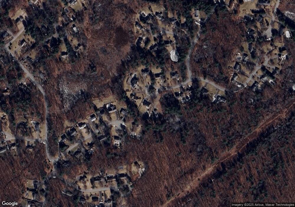
Map
Nearby Homes
- 2 Francis Dr Unit 107
- 2 Francis Dr Unit 405
- 1 Francis Dr Unit 309
- 2 Francis Dr Unit 101
- 2 Francis Dr Unit 301
- 1584 Andover St Unit 20
- 1575 Andover St
- 20 Mount Joy Dr
- 23 Greybirch Rd
- 21 Greybirch Rd
- 674 Trull Rd
- 137 Catamount Rd
- 16 Cayuga Rd
- 322 River Rd
- 105 Greenmeadow Dr
- 439 Lowell St
- 15 Geneva Rd
- 34 Merrimack Meadows Ln
- 103 Juniper Ln Unit 103
- 378 Lowell St
- 8 Starr Ave W
- 12 Starr Ave W
- 14 Belle Haven Dr
- 11 Belle Haven Dr
- 11 Starr Ave W
- 12 Belle Haven Dr
- 9 Belle Haven Dr
- 4 Starr Ave W
- 4 Starr Ave W Unit 1
- 9 Starr Ave W
- 7 Starr Ave W
- 3 Starr Ave W
- 10 Belle Haven Dr
- 2 Starr Ave W
- 7 Belle Haven Dr
- 8 Belle Haven Dr
- 12 Berkeley Ln
- 6 Penbrook Cir
- 1 Starr Ave E
- 5 Belle Haven Dr
Your Personal Tour Guide
Ask me questions while you tour the home.