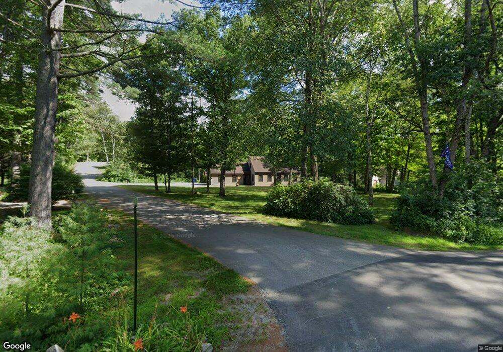
10 Stoney Brook Rd Hebron, NH 03241
Estimated Value: $579,000 - $815,000
3
Beds
2
Baths
2,194
Sq Ft
$310/Sq Ft
Est. Value
About This Home
This home is located at 10 Stoney Brook Rd, Hebron, NH 03241 and is currently estimated at $680,965, approximately $310 per square foot. 10 Stoney Brook Rd is a home located in Grafton County with nearby schools including Bridgewater-Hebron Village School.
Ownership History
Date
Name
Owned For
Owner Type
Purchase Details
Closed on
Dec 29, 2003
Sold by
Main Dorothy E
Bought by
Bivona James C
Current Estimated Value
Home Financials for this Owner
Home Financials are based on the most recent Mortgage that was taken out on this home.
Original Mortgage
$216,000
Outstanding Balance
$101,785
Interest Rate
6.01%
Mortgage Type
Purchase Money Mortgage
Estimated Equity
$579,180
Create a Home Valuation Report for This Property
The Home Valuation Report is an in-depth analysis detailing your home's value as well as a comparison with similar homes in the area
Home Values in the Area
Average Home Value in this Area
Purchase History
| Date | Buyer | Sale Price | Title Company |
|---|---|---|---|
| Bivona James C | $270,000 | -- |
Source: Public Records
Mortgage History
| Date | Status | Borrower | Loan Amount |
|---|---|---|---|
| Open | Bivona James C | $216,000 |
Source: Public Records
Tax History Compared to Growth
Tax History
| Year | Tax Paid | Tax Assessment Tax Assessment Total Assessment is a certain percentage of the fair market value that is determined by local assessors to be the total taxable value of land and additions on the property. | Land | Improvement |
|---|---|---|---|---|
| 2024 | $3,113 | $445,300 | $221,300 | $224,000 |
| 2023 | $2,841 | $445,300 | $221,300 | $224,000 |
| 2022 | $3,041 | $445,300 | $221,300 | $224,000 |
| 2021 | $2,903 | $445,300 | $221,300 | $224,000 |
| 2020 | $2,999 | $312,400 | $151,700 | $160,700 |
| 2019 | $2,985 | $308,000 | $151,700 | $156,300 |
| 2018 | $2,545 | $304,400 | $148,100 | $156,300 |
| 2017 | $2,721 | $304,400 | $148,100 | $156,300 |
| 2016 | $2,533 | $304,400 | $148,100 | $156,300 |
| 2015 | $2,444 | $307,000 | $147,900 | $159,100 |
| 2014 | $2,513 | $307,200 | $147,900 | $159,300 |
| 2013 | $2,473 | $307,200 | $147,900 | $159,300 |
Source: Public Records
Map
Nearby Homes
- 10 Merrill Rd
- 431 George Rd
- 33 Winterberry Ln
- 613 Mayhew Turnpike Unit 227-024 & 227-023
- Lot 26 Skyline Dr
- 0 Skyline Dr Unit 19
- 497 W Shore Rd
- 76 Davis Rd Unit 3
- 171 Bell Rd
- 154 Bell Rd
- 00 Ledgewood Cir Unit 7
- 4 Birchwood Dr Unit A
- 862 Mayhew Turnpike Unit 1
- 193 New Hebron Rd
- 208 New Hebron Rd
- 114 Ledgewood Terrace
- 582 N Groton Rd
- 341 Perkins Hill Rd
- 023 Yeaton Rd
- 11 Clay Brook Dr
- 20 Cooper Rd
- 9 Stoney Brook Rd
- 18 Stoney Brook Rd
- 37 Cooper Rd
- 11 Stoney Brook Rd
- 14 Cooper Rd
- 17 Cooper Rd
- 17 Stoney Brook Rd
- 24 Stoney Brook Rd
- 15 Cooper Rd
- 6 Cooper Rd
- 23 Stoney Brook Rd
- 43 Cooper Rd
- 439 N Shore Rd
- 445 N Shore Rd
- 32 Stoney Brook Rd
- 29 Stoney Brook Rd
- 6 Stone Gate Rd
- 3 Stone Gate Rd
- 13 Brookside Ln