10 Sutherland Rd Thornton, NH 03285
Estimated Value: $394,000 - $450,000
2
Beds
2
Baths
1,312
Sq Ft
$321/Sq Ft
Est. Value
About This Home
This home is located at 10 Sutherland Rd, Thornton, NH 03285 and is currently estimated at $420,946, approximately $320 per square foot. 10 Sutherland Rd is a home located in Grafton County with nearby schools including Thornton Central School and Plymouth Regional High School.
Ownership History
Date
Name
Owned For
Owner Type
Purchase Details
Closed on
Sep 12, 2022
Sold by
Merrill Dean S
Bought by
Merrill Luce Ret
Current Estimated Value
Purchase Details
Closed on
Mar 15, 2019
Sold by
Huckins Jill M
Bought by
Merrill Dean S
Purchase Details
Closed on
Mar 27, 2013
Sold by
Merrill Dean S
Bought by
Merrill Dean S and Merrill Jill M
Create a Home Valuation Report for This Property
The Home Valuation Report is an in-depth analysis detailing your home's value as well as a comparison with similar homes in the area
Home Values in the Area
Average Home Value in this Area
Purchase History
| Date | Buyer | Sale Price | Title Company |
|---|---|---|---|
| Merrill Luce Ret | -- | None Available | |
| Merrill Dean S | -- | -- | |
| Merrill Dean S | -- | -- |
Source: Public Records
Mortgage History
| Date | Status | Borrower | Loan Amount |
|---|---|---|---|
| Previous Owner | Merrill Dean S | $110,000 |
Source: Public Records
Tax History Compared to Growth
Tax History
| Year | Tax Paid | Tax Assessment Tax Assessment Total Assessment is a certain percentage of the fair market value that is determined by local assessors to be the total taxable value of land and additions on the property. | Land | Improvement |
|---|---|---|---|---|
| 2024 | $4,199 | $369,300 | $140,600 | $228,700 |
| 2023 | $4,389 | $211,400 | $78,100 | $133,300 |
| 2022 | $4,230 | $211,400 | $78,100 | $133,300 |
| 2021 | $4,391 | $211,400 | $78,100 | $133,300 |
| 2020 | $3,864 | $211,400 | $78,100 | $133,300 |
| 2019 | $3,695 | $211,400 | $78,100 | $133,300 |
| 2018 | $3,373 | $164,700 | $52,800 | $111,900 |
| 2017 | $3,395 | $164,700 | $52,800 | $111,900 |
| 2016 | $3,194 | $164,700 | $52,800 | $111,900 |
| 2015 | $3,100 | $162,300 | $50,200 | $112,100 |
| 2014 | $3,050 | $162,300 | $50,200 | $112,100 |
| 2013 | $2,672 | $145,700 | $40,800 | $104,900 |
Source: Public Records
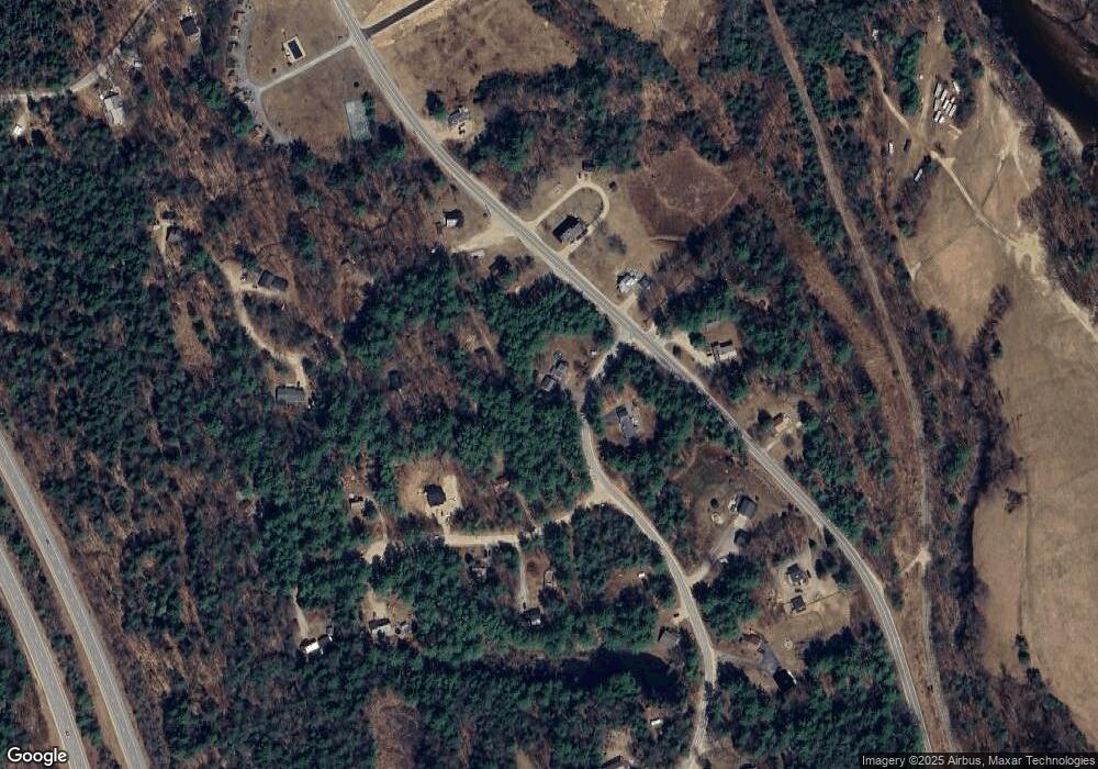
Map
Nearby Homes
- 43 Melina's Way
- 6 Melinas Way
- 53 Diamond Ledge Rd
- 21 Melina's Way
- 26 Jack's Run
- 0 Avery- McGee Rd Unit 6
- Lot 14 Centennial Way
- 151 Millbrook Rd
- 30 Tuxette Rd
- 22 Compass Point Rd
- 65 Mountain River East Rd Unit 58
- 115 Adams Farm Rd
- 52 Jansen Farm Rd
- 55 Lafayette Rd Unit 2
- 11 Braeden Dr Unit 5
- 147 Pemi River Rd
- 2 Grace Rd Unit 33
- Lot 2 Covered Bridge Rd
- 8 Benjamin Ln Unit 35
- 10 Benjamin Ln Unit 34
- 0 Horse Pasture Ln Unit 2800489
- 55 Horse Pasture Ln
- 0 Horse Pasture Ln Unit Lot 5 4881056
- 0 Horse Pasture Ln
- 11 Sutherland Rd
- 10 Horse Pasture Ln
- 23 Mitchell Rd
- 3 Mitchell Rd
- 4 Horse Pasture Ln
- O Horse Pasture Ln
- 1 Mitchell Dr
- 20 Sutherland
- 2860 Us Route 3
- 0 Sutherland Rd Unit Lot 19
- 0 Us Route 3
- 0 Us Route 3 Unit 2779292
- 20 Horse Pasture Ln
- 2850 Us Route 3
- 2850 Us Route 3 Unit B
- 6 Mitchell Rd