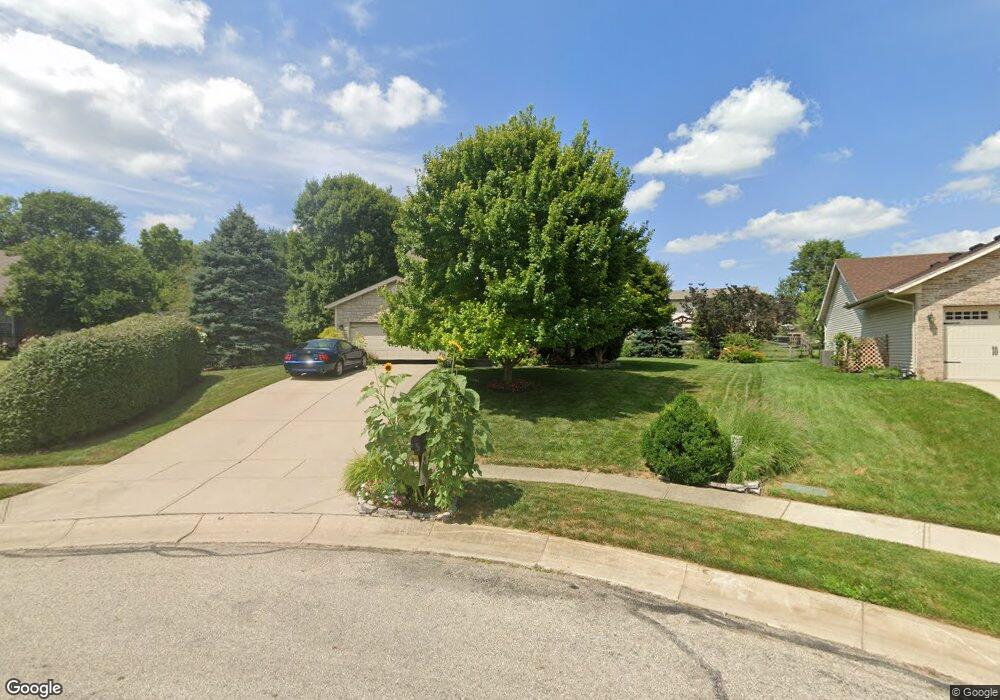
10 Sutton Brooke Ct Middletown, OH 45044
Estimated Value: $329,000 - $365,000
4
Beds
3
Baths
1,727
Sq Ft
$200/Sq Ft
Est. Value
About This Home
This home is located at 10 Sutton Brooke Ct, Middletown, OH 45044 and is currently estimated at $345,808, approximately $200 per square foot. 10 Sutton Brooke Ct is a home located in Butler County with nearby schools including Monroe Primary School, Monroe Elementary School, and Monroe Junior High School.
Ownership History
Date
Name
Owned For
Owner Type
Purchase Details
Closed on
Aug 21, 2000
Sold by
Prominent Builders Inc
Bought by
Ritchie James M and Ritchie Mary B
Current Estimated Value
Home Financials for this Owner
Home Financials are based on the most recent Mortgage that was taken out on this home.
Original Mortgage
$122,510
Outstanding Balance
$41,835
Interest Rate
7.98%
Mortgage Type
Purchase Money Mortgage
Estimated Equity
$303,973
Create a Home Valuation Report for This Property
The Home Valuation Report is an in-depth analysis detailing your home's value as well as a comparison with similar homes in the area
Home Values in the Area
Average Home Value in this Area
Purchase History
| Date | Buyer | Sale Price | Title Company |
|---|---|---|---|
| Ritchie James M | $127,299 | -- |
Source: Public Records
Mortgage History
| Date | Status | Borrower | Loan Amount |
|---|---|---|---|
| Open | Ritchie James M | $122,510 |
Source: Public Records
Tax History
| Year | Tax Paid | Tax Assessment Tax Assessment Total Assessment is a certain percentage of the fair market value that is determined by local assessors to be the total taxable value of land and additions on the property. | Land | Improvement |
|---|---|---|---|---|
| 2025 | $4,267 | $92,140 | $15,410 | $76,730 |
| 2024 | $4,267 | $92,140 | $15,410 | $76,730 |
| 2023 | $4,239 | $96,300 | $15,410 | $80,890 |
| 2022 | $3,475 | $66,550 | $15,410 | $51,140 |
| 2021 | $3,349 | $66,550 | $15,410 | $51,140 |
| 2020 | $3,469 | $66,550 | $15,410 | $51,140 |
| 2019 | $3,757 | $54,790 | $14,910 | $39,880 |
| 2018 | $3,083 | $54,790 | $14,910 | $39,880 |
| 2017 | $3,148 | $54,790 | $14,910 | $39,880 |
| 2016 | $3,062 | $51,090 | $14,910 | $36,180 |
| 2015 | $3,028 | $51,090 | $14,910 | $36,180 |
| 2014 | $2,981 | $51,090 | $14,910 | $36,180 |
| 2013 | $2,981 | $50,810 | $12,520 | $38,290 |
Source: Public Records
Map
Nearby Homes
- 44 Churchill Manor Ct
- 150 Stone Ridge Ln
- 6098 Hamilton Middletown Rd
- 51 Kameron Dr
- 3081 Granny Smith Ln
- 3262 Blue Springs Dr
- 3280 Blue Springs Dr
- 2048 Apple Knoll Ln
- 5346 Roden Park Dr
- 511 Shawn Dr
- 393 David Lee Ct
- 390 David Lee Ct
- 395 David Lee Ct
- 513 Shawn Dr
- 404 David Lee Ct
- 5904 Ashlyn Ct
- 6131 Royal Garden Ct
- 5952 Anmer Ct
- 5745 Bryson Ln
- 1753 Weatherstone Cir Unit 13G6
- 4 Sutton Brooke Ct
- 20 Sutton Brooke Ct
- 43 Woodgate Ct
- 39 Woodgate Ct
- 47 Woodgate Ct
- 35 Woodgate Ct
- 1 Sutton Brooke Ct
- 30 Sutton Brooke Ct
- 31 Woodgate Ct
- 15 Sutton Brooke Ct
- 40 Sutton Brooke Ct
- 5 Sutton Brooke Ct
- 53 Woodgate Ct
- 40 Woodgate Ct
- 25 Harbor Cove Ct
- 44 Woodgate Ct
- 36 Woodgate Ct
- 27 Woodgate Ct
- 48 Woodgate Ct
- 50 Sutton Brooke Ct
Your Personal Tour Guide
Ask me questions while you tour the home.