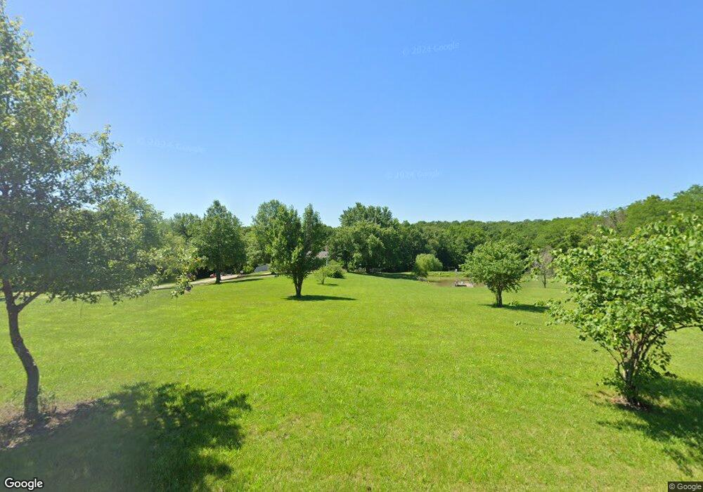
10 SW 600th Rd Warrensburg, MO 64093
Estimated Value: $298,165 - $434,000
--
Bed
--
Bath
2,621
Sq Ft
$135/Sq Ft
Est. Value
About This Home
This home is located at 10 SW 600th Rd, Warrensburg, MO 64093 and is currently estimated at $352,722, approximately $134 per square foot. 10 SW 600th Rd is a home with nearby schools including Maple Grove Elementary School, Martin Warren Elementary School, and Warrensburg Middle School.
Ownership History
Date
Name
Owned For
Owner Type
Purchase Details
Closed on
Jan 20, 2012
Sold by
Estes Jeana M
Bought by
Estes Terry W
Current Estimated Value
Purchase Details
Closed on
Apr 23, 2007
Sold by
Bell Carrie L
Bought by
Estes Terry W
Purchase Details
Closed on
Aug 25, 2005
Sold by
Salsman Samuel and Salsman Dorothy
Bought by
Bell Carrie L
Home Financials for this Owner
Home Financials are based on the most recent Mortgage that was taken out on this home.
Original Mortgage
$45,359
Interest Rate
5.61%
Mortgage Type
Future Advance Clause Open End Mortgage
Create a Home Valuation Report for This Property
The Home Valuation Report is an in-depth analysis detailing your home's value as well as a comparison with similar homes in the area
Home Values in the Area
Average Home Value in this Area
Purchase History
| Date | Buyer | Sale Price | Title Company |
|---|---|---|---|
| Estes Terry W | -- | None Listed On Document | |
| Estes Terry W | -- | -- | |
| Bell Carrie L | -- | Johnson County Title Company |
Source: Public Records
Mortgage History
| Date | Status | Borrower | Loan Amount |
|---|---|---|---|
| Previous Owner | Bell Carrie L | $45,359 |
Source: Public Records
Tax History Compared to Growth
Tax History
| Year | Tax Paid | Tax Assessment Tax Assessment Total Assessment is a certain percentage of the fair market value that is determined by local assessors to be the total taxable value of land and additions on the property. | Land | Improvement |
|---|---|---|---|---|
| 2024 | $1,169 | $16,051 | $0 | $0 |
| 2023 | $1,169 | $16,051 | $0 | $0 |
| 2022 | $1,123 | $15,354 | $0 | $0 |
| 2021 | $1,119 | $15,354 | $0 | $0 |
| 2020 | $1,082 | $14,651 | $0 | $0 |
| 2019 | $1,081 | $14,651 | $0 | $0 |
| 2017 | $1,039 | $14,665 | $0 | $0 |
| 2016 | $1,036 | $14,665 | $0 | $0 |
| 2015 | $1,066 | $14,665 | $0 | $0 |
| 2014 | -- | $14,655 | $0 | $0 |
Source: Public Records
Map
Nearby Homes
- 25 SW 600th Rd
- 161 SW 11th Rd
- 45 SW 675th Rd
- 9 SW 500th Rd
- 198 SE 455th Rd
- 198 SE 455 Rd
- TBD SE Hwy Pp N A
- 711 SE 251st Rd
- 7 SW 400th Rd
- 167 SE County Road Y N A
- 169 SW 800th Rd
- 363 SE Pp Hwy
- 144 SE 250th Rd
- 5 SE 240th Rd
- 240 SE 121st Rd
- 240 SE 131st Rd
- 195 SE 250th Rd
- 129 SE 235th Rd
- 245 SW 400th Rd
- 229 SE 141 Rd
- 12 SW 600th Rd
- 14 SW 600th Rd
- 18 SW 600th Rd
- 8 SW 600th Rd
- 640 SW State Route 13
- 9 SW 600th Rd
- 4 SW 600th Rd
- 22 SW 600th Rd
- 7 SW 600th Rd
- 11 SW 600th Rd
- 611 SE State Route 13
- 24 SW 600th Rd
- 615 SE State Route 13
- 26 SW 600th Rd
- 3 SW 600th Rd
- 5 SW 600th Rd
- 15 SW 600th Rd
- 639 SE State Route 13
- 5 SW 600
- 601 SE State Route 13