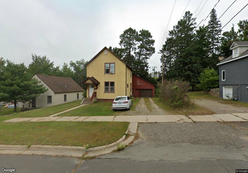
10 SW 6th St Grand Rapids, MN 55744
Estimated Value: $179,000 - $188,000
2
Beds
1
Bath
927
Sq Ft
$196/Sq Ft
Est. Value
About This Home
This home is located at 10 SW 6th St, Grand Rapids, MN 55744 and is currently estimated at $181,532, approximately $195 per square foot. 10 SW 6th St is a home located in Itasca County with nearby schools including Forest Lake Elementary School, Robert J. Elkington Middle School, and Grand Rapids Senior High School.
Ownership History
Date
Name
Owned For
Owner Type
Purchase Details
Closed on
Jun 11, 2021
Sold by
Bestland Paul A and Bestland Amy L
Bought by
Maas Chris and Mass Mary
Current Estimated Value
Home Financials for this Owner
Home Financials are based on the most recent Mortgage that was taken out on this home.
Original Mortgage
$93,750
Outstanding Balance
$84,879
Interest Rate
2.9%
Mortgage Type
New Conventional
Estimated Equity
$96,653
Purchase Details
Closed on
Apr 4, 2012
Sold by
Hauser Katherine M and Hauser Steven C
Bought by
Bestland Paul A and Bestland Amy L
Create a Home Valuation Report for This Property
The Home Valuation Report is an in-depth analysis detailing your home's value as well as a comparison with similar homes in the area
Home Values in the Area
Average Home Value in this Area
Purchase History
| Date | Buyer | Sale Price | Title Company |
|---|---|---|---|
| Maas Chris | $125,000 | First American Title | |
| Maas Chris | $125,000 | First American Title | |
| Bestland Paul A | $57,000 | None Available | |
| Maas Chris Chris | $125,000 | -- |
Source: Public Records
Mortgage History
| Date | Status | Borrower | Loan Amount |
|---|---|---|---|
| Open | Maas Chris | $93,750 | |
| Closed | Maas Chris | $93,750 | |
| Closed | Maas Chris Chris | $125,000 |
Source: Public Records
Tax History Compared to Growth
Tax History
| Year | Tax Paid | Tax Assessment Tax Assessment Total Assessment is a certain percentage of the fair market value that is determined by local assessors to be the total taxable value of land and additions on the property. | Land | Improvement |
|---|---|---|---|---|
| 2024 | $2,450 | $163,200 | $25,500 | $137,700 |
| 2023 | $2,450 | $163,200 | $25,500 | $137,700 |
| 2022 | $2,466 | $150,200 | $25,100 | $125,100 |
| 2021 | $2,100 | $117,800 | $25,100 | $92,700 |
| 2020 | $2,028 | $113,600 | $25,100 | $88,500 |
| 2019 | $1,906 | $105,200 | $25,100 | $80,100 |
| 2018 | $1,270 | $100,900 | $25,100 | $75,800 |
| 2017 | $1,254 | $0 | $0 | $0 |
| 2016 | $1,204 | $0 | $0 | $0 |
| 2015 | $1,186 | $0 | $0 | $0 |
| 2014 | -- | $0 | $0 | $0 |
Source: Public Records
Map
Nearby Homes
- TBD SW 2nd Ave
- 103 SW 4th St
- 908 Clover Ln
- 807 Willow Ln
- 718 SE 4th Ave
- 905 SW 4th Ave
- 911 SW 4th Ave
- 510 Golf Course Rd
- 807 SW 7th Ave
- 97 Donovan Dr
- Lot 3 Blk 2 1st Ave SW
- Lot 4 Blk 2 1st Ave SW
- TBD County Road 60
- 1024 SE 7th St
- 1005 Horseshoe Lake Rd
- 117 SW 12th Ave
- 710 NE 4th St
- 515 NW 6th Ave
- 523 NW 6th Ave
- 421 NW 8th Ave
- 33 SW 6th St
- 513 S Pokegama Ave
- 12 SW 6th St
- 501 S Pokegama Ave Unit 101
- 501 S Pokegama Ave Unit 101
- 603 S Pokegama Ave
- 604 S Pokegama Ave
- 501 SW 1st Ave
- 610 S Pokegama Ave
- 601 SW 1st Ave
- 511 S Pokegama Ave
- 414 SW 1st Ave
- 414 SW 1st Ave
- 414 SW 1st Ave
- 0 Unassigned Address Unit 3984935
- 0 Unassigned Address Unit 3984842
- 0 Unassigned Address Unit 3984931
- 0 Unassigned Address Unit 3984941
- 0 Unassigned Address Unit 3984927
- 0 Unassigned Address Unit 3981126