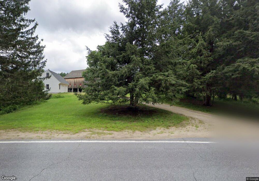
10 Tallant Rd Pelham, NH 03076
Estimated Value: $818,000 - $1,842,267
4
Beds
4
Baths
3,078
Sq Ft
$375/Sq Ft
Est. Value
About This Home
This home is located at 10 Tallant Rd, Pelham, NH 03076 and is currently estimated at $1,155,567, approximately $375 per square foot. 10 Tallant Rd is a home with nearby schools including Pelham Elementary School, Pelham Memorial School, and Pelham High School.
Create a Home Valuation Report for This Property
The Home Valuation Report is an in-depth analysis detailing your home's value as well as a comparison with similar homes in the area
Home Values in the Area
Average Home Value in this Area
Tax History Compared to Growth
Tax History
| Year | Tax Paid | Tax Assessment Tax Assessment Total Assessment is a certain percentage of the fair market value that is determined by local assessors to be the total taxable value of land and additions on the property. | Land | Improvement |
|---|---|---|---|---|
| 2024 | $21,854 | $1,191,600 | $767,600 | $424,000 |
| 2023 | $21,675 | $1,191,600 | $767,600 | $424,000 |
| 2022 | $20,758 | $1,191,600 | $767,600 | $424,000 |
| 2021 | $18,948 | $1,187,200 | $767,600 | $419,600 |
| 2020 | $18,404 | $911,100 | $614,000 | $297,100 |
| 2019 | $17,675 | $911,100 | $614,000 | $297,100 |
| 2018 | $18,838 | $877,800 | $614,000 | $263,800 |
| 2017 | $18,829 | $877,800 | $614,000 | $263,800 |
| 2016 | $17,944 | $856,500 | $614,000 | $242,500 |
| 2015 | $17,980 | $773,000 | $583,200 | $189,800 |
| 2014 | $17,679 | $773,000 | $583,200 | $189,800 |
| 2013 | $17,679 | $773,000 | $583,200 | $189,800 |
Source: Public Records
Map
Nearby Homes
- 96 Simpson Rd
- 1119 Mammoth Rd
- 29 Rock Pond Rd
- 23 Ryan Farm Rd
- 11 Venus Way
- 7 Venus Way Unit 22
- 1 Redwood Rd
- 24 Del Ray Dr Unit 25
- 24 Del Ray Dr
- 2 Cypress Ln
- 7 Cypress Ln Unit 5
- 14 Lincoln St
- 45 Sharon Rd
- 7 Deer Run Rd
- 1 Alpine Rd
- 138 Castle Hill Rd
- 219 Range Rd
- 6 Lancaster Rd
- 14 Woodland Rd
- 45 Hobbs Rd