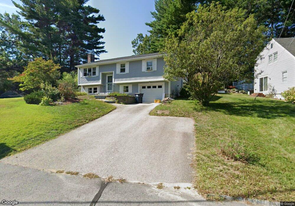
10 Teak Dr Nashua, NH 03062
West Hollis NeighborhoodEstimated Value: $456,908 - $526,000
1
Bed
2
Baths
1,168
Sq Ft
$417/Sq Ft
Est. Value
About This Home
This home is located at 10 Teak Dr, Nashua, NH 03062 and is currently estimated at $486,477, approximately $416 per square foot. 10 Teak Dr is a home located in Hillsborough County with nearby schools including Main Dunstable School, Elm Street Middle School, and Nashua High School South.
Ownership History
Date
Name
Owned For
Owner Type
Purchase Details
Closed on
May 18, 1998
Sold by
Cunningham Oreen C
Bought by
Hardman Robert A and Hardman Janet K
Current Estimated Value
Home Financials for this Owner
Home Financials are based on the most recent Mortgage that was taken out on this home.
Original Mortgage
$127,700
Interest Rate
7.08%
Mortgage Type
Purchase Money Mortgage
Create a Home Valuation Report for This Property
The Home Valuation Report is an in-depth analysis detailing your home's value as well as a comparison with similar homes in the area
Home Values in the Area
Average Home Value in this Area
Purchase History
| Date | Buyer | Sale Price | Title Company |
|---|---|---|---|
| Hardman Robert A | $128,000 | -- |
Source: Public Records
Mortgage History
| Date | Status | Borrower | Loan Amount |
|---|---|---|---|
| Open | Hardman Robert A | $68,000 | |
| Open | Hardman Robert A | $122,000 | |
| Closed | Hardman Robert A | $68,500 | |
| Closed | Hardman Robert A | $127,700 |
Source: Public Records
Tax History Compared to Growth
Tax History
| Year | Tax Paid | Tax Assessment Tax Assessment Total Assessment is a certain percentage of the fair market value that is determined by local assessors to be the total taxable value of land and additions on the property. | Land | Improvement |
|---|---|---|---|---|
| 2024 | $6,785 | $426,700 | $160,200 | $266,500 |
| 2023 | $6,479 | $355,400 | $128,200 | $227,200 |
| 2022 | $6,422 | $355,400 | $128,200 | $227,200 |
| 2021 | $5,919 | $254,900 | $89,700 | $165,200 |
| 2020 | $5,763 | $254,900 | $89,700 | $165,200 |
| 2019 | $5,547 | $254,900 | $89,700 | $165,200 |
| 2018 | $5,406 | $254,900 | $89,700 | $165,200 |
| 2017 | $5,893 | $228,500 | $69,800 | $158,700 |
| 2016 | $5,728 | $228,500 | $69,800 | $158,700 |
| 2015 | $5,605 | $228,500 | $69,800 | $158,700 |
| 2014 | $5,495 | $228,500 | $69,800 | $158,700 |
Source: Public Records
Map
Nearby Homes
- 25 Cortez Dr Unit U57
- 375 Main Dunstable Rd
- 16 Laurel Ct Unit U320
- 47 Dogwood Dr Unit U202
- 12 Spring Cove Rd Unit U103
- 40 Spring Cove Rd Unit U117
- 4 Chesapeake Rd
- 4 Henry David Dr Unit 203
- 5 Wilderness Dr
- 599 W Hollis St
- 8 Althea Ln Unit U26
- 20 Martha St
- 188 Harris Rd
- 15 Westray Dr
- 46 Scenic Dr
- 247 Main Dunstable Rd
- 23 Glen Dr
- 58 Tanglewood Dr
- 31 Tenby Dr
- 39 Bartemus Trail Unit U449