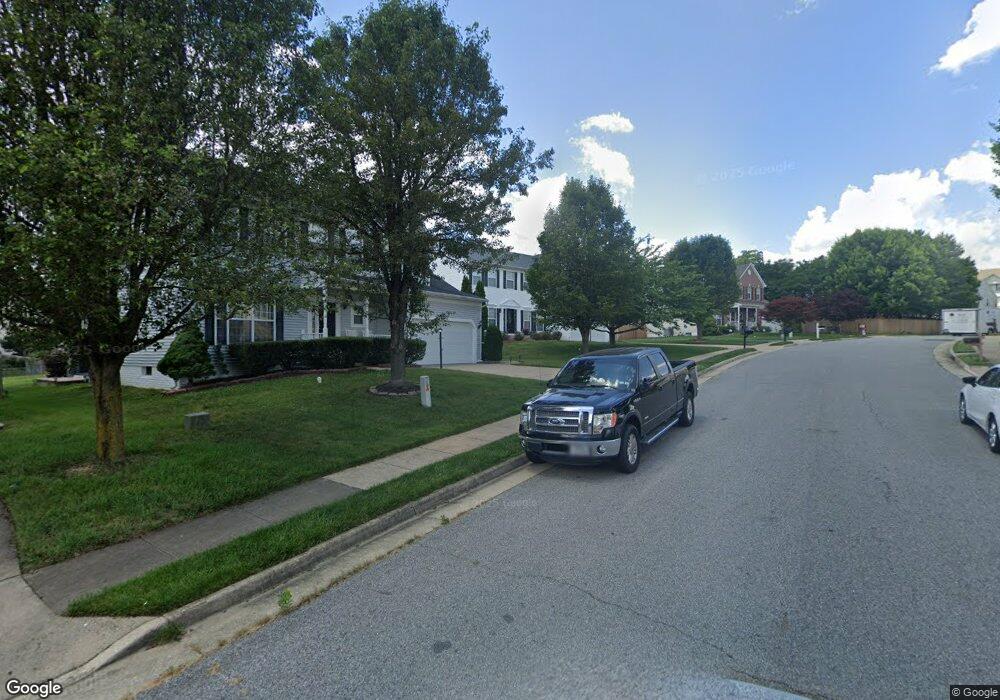
10 Thaxton Ct Stafford, VA 22556
Garrisonville NeighborhoodEstimated Value: $630,623 - $689,000
4
Beds
3
Baths
2,779
Sq Ft
$238/Sq Ft
Est. Value
About This Home
This home is located at 10 Thaxton Ct, Stafford, VA 22556 and is currently estimated at $660,156, approximately $237 per square foot. 10 Thaxton Ct is a home located in Stafford County with nearby schools including Anne E. Moncure Elementary School, H.H. Poole Middle School, and North Stafford High School.
Ownership History
Date
Name
Owned For
Owner Type
Purchase Details
Closed on
Sep 6, 2019
Sold by
Robertson Angela Annice
Bought by
Robertson Angela Annice
Current Estimated Value
Purchase Details
Closed on
Sep 8, 2005
Sold by
Quantum Relocation Svcs
Bought by
Leung Angela
Purchase Details
Closed on
Aug 31, 2005
Sold by
Richardson Agnes
Bought by
Quantum Relocation Svcs
Purchase Details
Closed on
Sep 30, 2002
Sold by
Washington Hms
Bought by
Richardson Agnes
Home Financials for this Owner
Home Financials are based on the most recent Mortgage that was taken out on this home.
Original Mortgage
$253,293
Interest Rate
6.27%
Mortgage Type
FHA
Create a Home Valuation Report for This Property
The Home Valuation Report is an in-depth analysis detailing your home's value as well as a comparison with similar homes in the area
Home Values in the Area
Average Home Value in this Area
Purchase History
| Date | Buyer | Sale Price | Title Company |
|---|---|---|---|
| Robertson Angela Annice | -- | None Available | |
| Leung Angela | $529,900 | -- | |
| Quantum Relocation Svcs | $529,900 | -- | |
| Richardson Agnes | $286,848 | -- |
Source: Public Records
Mortgage History
| Date | Status | Borrower | Loan Amount |
|---|---|---|---|
| Previous Owner | Richardson Agnes | $253,293 |
Source: Public Records
Tax History Compared to Growth
Tax History
| Year | Tax Paid | Tax Assessment Tax Assessment Total Assessment is a certain percentage of the fair market value that is determined by local assessors to be the total taxable value of land and additions on the property. | Land | Improvement |
|---|---|---|---|---|
| 2025 | $4,619 | $518,900 | $150,000 | $368,900 |
| 2024 | $4,619 | $509,400 | $150,000 | $359,400 |
| 2023 | $4,514 | $477,700 | $140,000 | $337,700 |
| 2022 | $4,060 | $477,700 | $140,000 | $337,700 |
| 2021 | $3,539 | $364,800 | $110,000 | $254,800 |
| 2020 | $3,539 | $364,800 | $110,000 | $254,800 |
| 2019 | $3,689 | $365,200 | $105,000 | $260,200 |
| 2018 | $3,615 | $365,200 | $105,000 | $260,200 |
| 2017 | $3,467 | $350,200 | $90,000 | $260,200 |
| 2016 | $3,467 | $350,200 | $90,000 | $260,200 |
| 2015 | -- | $342,800 | $90,000 | $252,800 |
| 2014 | -- | $342,800 | $90,000 | $252,800 |
Source: Public Records
Map
Nearby Homes
- 29 Newbury Dr
- 119 Juggins Rd
- 201 Mews Ct
- 202 Buckingham Ln Unit 102
- 200 Surry Ln Unit 118
- 405 Westminster Ln Unit 144
- 204 Westminster Ln
- 302 Westminster Ln Unit 133
- 205 Powhatan Ct Unit 100
- 107 Mayfair Place Unit 165
- 619 Madison Ct
- 201 Mayfair Place Unit 179
- 611 Madison Ct Unit 611
- 1 Alice Ct
- 240 Kimberwick Ln
- 100 Picadilly Ln Unit 50
- 209 Doc Stone Rd
- 16 Tall Oaks Ct
- 207 Wimbeldon Ct Unit 210
- 34 Oak Rd
