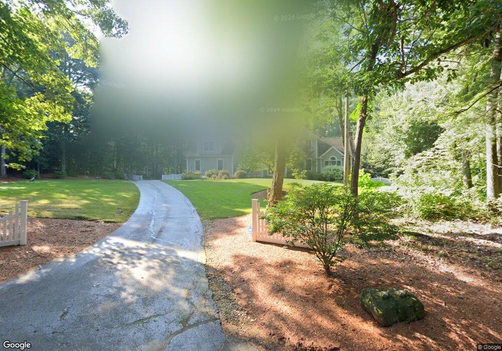
10 Thayer Rd Mendon, MA 01756
Estimated Value: $898,880 - $1,277,000
5
Beds
3
Baths
3,724
Sq Ft
$280/Sq Ft
Est. Value
About This Home
This home is located at 10 Thayer Rd, Mendon, MA 01756 and is currently estimated at $1,040,970, approximately $279 per square foot. 10 Thayer Rd is a home located in Worcester County with nearby schools including Nipmuc Regional High School, Bethany Christian Academy, and Mendon Mennonite School.
Ownership History
Date
Name
Owned For
Owner Type
Purchase Details
Closed on
Jul 6, 2011
Sold by
Mcnaughton Michael M and Mcnaughton Michele A
Bought by
Scharnagle 3Rd Charles and Scharnagle Michelle
Current Estimated Value
Home Financials for this Owner
Home Financials are based on the most recent Mortgage that was taken out on this home.
Original Mortgage
$417,000
Outstanding Balance
$288,099
Interest Rate
4.6%
Mortgage Type
Purchase Money Mortgage
Estimated Equity
$752,871
Purchase Details
Closed on
Feb 20, 2003
Sold by
Kendall Homes Inc
Bought by
Schnaars Chris F and Schnaars Sharon L
Home Financials for this Owner
Home Financials are based on the most recent Mortgage that was taken out on this home.
Original Mortgage
$319,900
Interest Rate
5.98%
Mortgage Type
Purchase Money Mortgage
Create a Home Valuation Report for This Property
The Home Valuation Report is an in-depth analysis detailing your home's value as well as a comparison with similar homes in the area
Home Values in the Area
Average Home Value in this Area
Purchase History
| Date | Buyer | Sale Price | Title Company |
|---|---|---|---|
| Scharnagle 3Rd Charles | $635,000 | -- | |
| Schnaars Chris F | $599,900 | -- |
Source: Public Records
Mortgage History
| Date | Status | Borrower | Loan Amount |
|---|---|---|---|
| Open | Scharnagle 3Rd Charles | $417,000 | |
| Closed | Schnaars Chris F | $91,000 | |
| Previous Owner | Schnaars Chris F | $439,000 | |
| Previous Owner | Schnaars Chris F | $319,900 |
Source: Public Records
Tax History
| Year | Tax Paid | Tax Assessment Tax Assessment Total Assessment is a certain percentage of the fair market value that is determined by local assessors to be the total taxable value of land and additions on the property. | Land | Improvement |
|---|---|---|---|---|
| 2025 | $11,831 | $883,600 | $167,100 | $716,500 |
| 2024 | $11,608 | $846,700 | $160,600 | $686,100 |
| 2023 | $11,296 | $773,700 | $143,300 | $630,400 |
| 2022 | $10,884 | $706,300 | $139,700 | $566,600 |
| 2021 | $10,516 | $626,300 | $135,500 | $490,800 |
| 2020 | $10,003 | $597,200 | $135,500 | $461,700 |
| 2019 | $9,840 | $587,800 | $131,600 | $456,200 |
| 2018 | $9,747 | $574,700 | $131,600 | $443,100 |
| 2017 | $9,670 | $544,800 | $131,600 | $413,200 |
| 2016 | $9,510 | $551,300 | $139,600 | $411,700 |
| 2015 | $8,679 | $542,100 | $139,600 | $402,500 |
| 2014 | $8,274 | $516,500 | $135,200 | $381,300 |
Source: Public Records
Map
Nearby Homes
- 5 Whitman Cir Unit 5
- 3 Whitman Cir Unit 3
- 1 Whitman Cir Unit 1
- 123-125 Mendon St
- 6 Barrows Rd
- 1 Evergreen Dr Unit 1
- 24 Talbott Farm Dr
- 23 Bellwood Cir Unit 23
- 31 Bellwood Cir Unit 31B
- 34 Bellwood Cir Unit 34
- 0 North St Unit 73440626
- 125 Blackstone St
- 50 Hartford Ave E
- 5 Bernier Ln
- 111 Providence St
- 7 Debra Ln Unit 1
- 67 Blackstone St
- 36 Indian Run Rd
- 8 Puffer Dr
- 58 Douglas Dr
Your Personal Tour Guide
Ask me questions while you tour the home.