10 Thomas Ln Westerly, RI 02891
Estimated Value: $581,000 - $753,000
2
Beds
3
Baths
1,508
Sq Ft
$424/Sq Ft
Est. Value
About This Home
This home is located at 10 Thomas Ln, Westerly, RI 02891 and is currently estimated at $638,954, approximately $423 per square foot. 10 Thomas Ln is a home located in Washington County with nearby schools including Westerly High School and St. Michael School.
Ownership History
Date
Name
Owned For
Owner Type
Purchase Details
Closed on
Jun 23, 2008
Sold by
Labrec Harold R and Labrec Sandra D
Bought by
Doerrer George J
Current Estimated Value
Home Financials for this Owner
Home Financials are based on the most recent Mortgage that was taken out on this home.
Original Mortgage
$261,000
Outstanding Balance
$167,910
Interest Rate
6.1%
Mortgage Type
Purchase Money Mortgage
Estimated Equity
$471,044
Purchase Details
Closed on
Jun 19, 1995
Sold by
Klausen John E and Klausen Jeffrey
Bought by
Labrec Harold R and Labrec Sandra
Home Financials for this Owner
Home Financials are based on the most recent Mortgage that was taken out on this home.
Original Mortgage
$105,000
Interest Rate
8.24%
Create a Home Valuation Report for This Property
The Home Valuation Report is an in-depth analysis detailing your home's value as well as a comparison with similar homes in the area
Home Values in the Area
Average Home Value in this Area
Purchase History
| Date | Buyer | Sale Price | Title Company |
|---|---|---|---|
| Doerrer George J | $327,000 | -- | |
| Labrec Harold R | $141,000 | -- |
Source: Public Records
Mortgage History
| Date | Status | Borrower | Loan Amount |
|---|---|---|---|
| Open | Labrec Harold R | $261,000 | |
| Previous Owner | Labrec Harold R | $105,000 |
Source: Public Records
Tax History
| Year | Tax Paid | Tax Assessment Tax Assessment Total Assessment is a certain percentage of the fair market value that is determined by local assessors to be the total taxable value of land and additions on the property. | Land | Improvement |
|---|---|---|---|---|
| 2025 | $3,724 | $523,700 | $263,000 | $260,700 |
| 2024 | $3,696 | $376,800 | $161,000 | $215,800 |
| 2023 | $3,625 | $376,800 | $161,000 | $215,800 |
| 2022 | $3,602 | $376,800 | $161,000 | $215,800 |
| 2021 | $3,523 | $305,800 | $138,600 | $167,200 |
| 2020 | $3,459 | $305,800 | $138,600 | $167,200 |
| 2019 | $3,425 | $305,800 | $138,600 | $167,200 |
| 2018 | $3,323 | $279,700 | $138,600 | $141,100 |
| 2017 | $3,242 | $279,700 | $138,600 | $141,100 |
| 2016 | $3,267 | $279,700 | $138,600 | $141,100 |
| 2015 | $3,219 | $297,500 | $140,800 | $156,700 |
| 2014 | $3,165 | $297,500 | $140,800 | $156,700 |
Source: Public Records
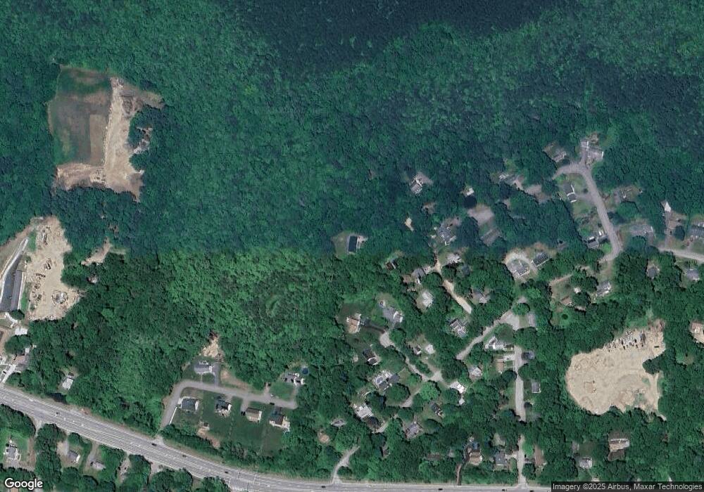
Map
Nearby Homes
- 54 Sherwood Dr
- 13 Plateau Rd
- 19 Wicklow Rd
- 26 Charlene Ave
- 30 Clifford Dr
- 118 Dunns Corner Rd
- 20 Snowberry Ln
- 33 Whipple Ave
- 23 Pond St
- 12 Apache Dr Unit A
- 17 Apache Dr Unit G
- 5 Robin Hollow Ln
- 22 Breach Dr
- 19 Apache Dr Unit F
- 19 Apache Dr Unit 19C
- 470 Atlantic Ave
- 9 Compass Way Unit 201
- 9 Compass Way Unit 202
- 9 Compass Way Unit 101
- 9 Compass Way Unit 102
Your Personal Tour Guide
Ask me questions while you tour the home.