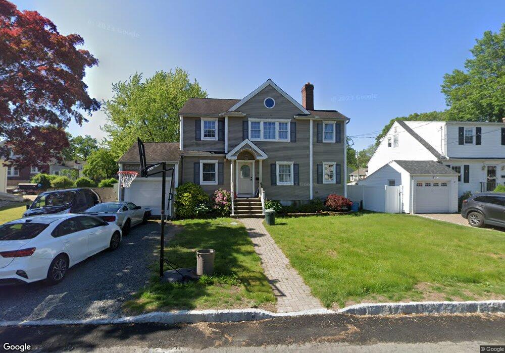
10 Thomas St New Providence, NJ 07974
Estimated Value: $679,000 - $781,000
--
Bed
--
Bath
1,884
Sq Ft
$391/Sq Ft
Est. Value
About This Home
This home is located at 10 Thomas St, New Providence, NJ 07974 and is currently estimated at $736,357, approximately $390 per square foot. 10 Thomas St is a home located in Union County with nearby schools including New Providence High School, The Academy of Our Lady of Peace, and Oak Knoll School of the Holy Child.
Ownership History
Date
Name
Owned For
Owner Type
Purchase Details
Closed on
Feb 9, 1995
Sold by
Dellosdo Joseph
Bought by
Marvin William J and Pannucci Andrea
Current Estimated Value
Create a Home Valuation Report for This Property
The Home Valuation Report is an in-depth analysis detailing your home's value as well as a comparison with similar homes in the area
Home Values in the Area
Average Home Value in this Area
Purchase History
| Date | Buyer | Sale Price | Title Company |
|---|---|---|---|
| Marvin William J | $150,000 | -- |
Source: Public Records
Tax History Compared to Growth
Tax History
| Year | Tax Paid | Tax Assessment Tax Assessment Total Assessment is a certain percentage of the fair market value that is determined by local assessors to be the total taxable value of land and additions on the property. | Land | Improvement |
|---|---|---|---|---|
| 2025 | $11,981 | $232,100 | $113,400 | $118,700 |
| 2024 | $11,621 | $232,100 | $113,400 | $118,700 |
| 2023 | $11,621 | $232,100 | $113,400 | $118,700 |
| 2022 | $11,461 | $232,100 | $113,400 | $118,700 |
| 2021 | $11,378 | $232,100 | $113,400 | $118,700 |
| 2020 | $11,373 | $232,100 | $113,400 | $118,700 |
| 2019 | $11,303 | $232,100 | $113,400 | $118,700 |
| 2018 | $11,245 | $232,100 | $113,400 | $118,700 |
| 2017 | $11,062 | $232,100 | $113,400 | $118,700 |
| 2016 | $10,906 | $232,100 | $113,400 | $118,700 |
| 2015 | $10,756 | $232,100 | $113,400 | $118,700 |
| 2014 | $10,593 | $232,100 | $113,400 | $118,700 |
Source: Public Records
Map
Nearby Homes
- 50 Livingston Ave
- 1200 Springfield Ave Unit 1B
- 32 Marion Ave
- 34 Grant Ave
- 54 Badgley Dr
- 16 Riverbend Ct
- 20 High St
- 491 Central Ave Unit 4
- 491 Central Ave Unit 1
- 491 Central Ave Unit 2
- 491 Central Ave Unit 3
- 1364 Springfield Ave
- 29 Walton Ave
- 197 Elkwood Ave
- 21 Walton Ave
- 32 Charnwood Rd
- 294 Livingston Ave
- 282 South St
- 100 Commonwealth Ave
- 14 Holmes Oval
- 14 Thomas St
- 12 Wilber St
- 63 Livingston Ave Unit B
- 63 Livingston Ave Unit A
- 69 Livingston Ave
- 18 Wilber St
- 11 Thomas St
- 51 Livingston Ave
- 17 Thomas St
- 73 Livingston Ave
- 24 Wilber St
- 11 Wilbur St
- 5 Wilber St
- 11 Wilber St
- 77 Livingston Ave
- 23 Thomas St
- 17 Wilber St
- 24 Thomas St
- 62 Livingston Ave
- 11 6th St