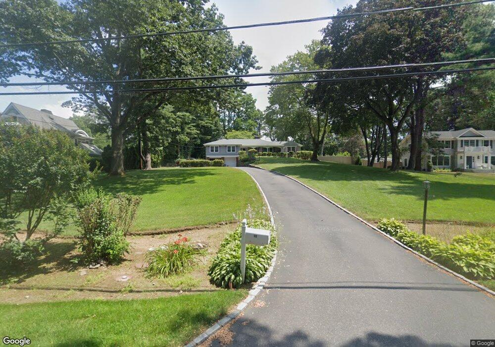
10 Tibbits Ln Port Washington, NY 11050
Estimated Value: $1,595,336 - $2,431,000
--
Bed
2
Baths
2,447
Sq Ft
$823/Sq Ft
Est. Value
About This Home
This home is located at 10 Tibbits Ln, Port Washington, NY 11050 and is currently estimated at $2,013,168, approximately $822 per square foot. 10 Tibbits Ln is a home located in Nassau County with nearby schools including Manorhaven Elementary School, Carrie Palmer Weber Middle School, and Paul D. Schreiber Senior High School.
Ownership History
Date
Name
Owned For
Owner Type
Purchase Details
Closed on
Aug 18, 2021
Sold by
Interdonati James A and Interdonati Jane A
Bought by
Interdonati Family Trust
Current Estimated Value
Purchase Details
Closed on
Aug 16, 2006
Sold by
Interdonati Josephine
Purchase Details
Closed on
Apr 24, 2001
Purchase Details
Closed on
Apr 20, 2001
Purchase Details
Closed on
Sep 24, 1999
Sold by
Interdonati James and Interdonati Josephine
Bought by
Interdonati James and Interdonati Josephine
Create a Home Valuation Report for This Property
The Home Valuation Report is an in-depth analysis detailing your home's value as well as a comparison with similar homes in the area
Home Values in the Area
Average Home Value in this Area
Purchase History
| Date | Buyer | Sale Price | Title Company |
|---|---|---|---|
| Interdonati Family Trust | -- | Fidelity National Title | |
| -- | -- | -- | |
| -- | -- | -- | |
| -- | -- | -- | |
| Interdonati James | -- | Fidelity National Title Ins |
Source: Public Records
Tax History Compared to Growth
Tax History
| Year | Tax Paid | Tax Assessment Tax Assessment Total Assessment is a certain percentage of the fair market value that is determined by local assessors to be the total taxable value of land and additions on the property. | Land | Improvement |
|---|---|---|---|---|
| 2025 | $13,983 | $1,129 | $853 | $276 |
| 2024 | $682 | $1,129 | $853 | $276 |
| 2023 | $12,509 | $1,129 | $853 | $276 |
| 2022 | $12,509 | $1,129 | $853 | $276 |
| 2021 | $12,056 | $1,102 | $833 | $269 |
| 2020 | $11,306 | $1,890 | $1,889 | $1 |
| 2019 | $14,128 | $1,890 | $1,772 | $118 |
| 2018 | $13,122 | $2,404 | $0 | $0 |
| 2017 | $15,244 | $2,404 | $2,254 | $150 |
| 2016 | $17,267 | $2,404 | $2,254 | $150 |
| 2015 | $2,013 | $2,404 | $2,254 | $150 |
| 2014 | $2,013 | $2,404 | $2,254 | $150 |
| 2013 | $1,916 | $2,404 | $2,254 | $150 |
Source: Public Records
Map
Nearby Homes
- 169 Middle Neck Rd
- 36 Cow Neck Rd
- 5 Longwood Rd
- 9 Hilldale Ln
- 130 Sands Point Rd
- 12 Sloanes Ct
- 4 Sloanes Ct
- 1 Harriman Dr
- 21 Harriman Dr
- 25 Soundview Ln
- 15 Hoffstot Ln
- 18 Harriman Dr
- 28 Sterling Ln
- 78 Edgewood Rd
- 5 Half Moon Ln
- 22 Messenger Ln
- 55 Driftwood Dr
- 68 Graywood Rd
- 59 Edgewood Rd
- 120 W Creek Farms Rd