10 Timothys Way Hollis, NH 03049
Hollis NeighborhoodEstimated Value: $1,043,370 - $1,263,000
4
Beds
3
Baths
2,724
Sq Ft
$432/Sq Ft
Est. Value
About This Home
This home is located at 10 Timothys Way, Hollis, NH 03049 and is currently estimated at $1,175,593, approximately $431 per square foot. 10 Timothys Way is a home located in Hillsborough County with nearby schools including Hollis Primary School, Hollis Upper Elementary School, and Hollis-Brookline Middle School.
Ownership History
Date
Name
Owned For
Owner Type
Purchase Details
Closed on
Apr 16, 2018
Sold by
Ranceva Inga P
Bought by
Inga P Ranceva Ret
Current Estimated Value
Purchase Details
Closed on
Aug 9, 2017
Sold by
Fournier Ft Of 2006 and Fournier Jeffrey S
Bought by
Ranceva Inga
Home Financials for this Owner
Home Financials are based on the most recent Mortgage that was taken out on this home.
Original Mortgage
$391,000
Interest Rate
3.88%
Mortgage Type
Purchase Money Mortgage
Purchase Details
Closed on
Apr 5, 2013
Sold by
Matthew S Chabot Ret
Bought by
Anderson Ft and Anderson Todd S
Create a Home Valuation Report for This Property
The Home Valuation Report is an in-depth analysis detailing your home's value as well as a comparison with similar homes in the area
Home Values in the Area
Average Home Value in this Area
Purchase History
| Date | Buyer | Sale Price | Title Company |
|---|---|---|---|
| Inga P Ranceva Ret | -- | -- | |
| Ranceva Inga | $601,000 | -- | |
| Anderson Ft | $113,400 | -- | |
| Fournier Ft | $112,700 | -- | |
| Matthew S Chabot Ret | $173,400 | -- |
Source: Public Records
Mortgage History
| Date | Status | Borrower | Loan Amount |
|---|---|---|---|
| Previous Owner | Ranceva Inga | $391,000 | |
| Previous Owner | Matthew S Chabot Ret | $250,000 |
Source: Public Records
Tax History Compared to Growth
Tax History
| Year | Tax Paid | Tax Assessment Tax Assessment Total Assessment is a certain percentage of the fair market value that is determined by local assessors to be the total taxable value of land and additions on the property. | Land | Improvement |
|---|---|---|---|---|
| 2024 | $15,760 | $888,900 | $252,200 | $636,700 |
| 2023 | $14,792 | $887,900 | $252,200 | $635,700 |
| 2022 | $20,040 | $887,900 | $252,200 | $635,700 |
| 2021 | $12,095 | $532,800 | $177,700 | $355,100 |
| 2020 | $12,350 | $532,800 | $177,700 | $355,100 |
| 2019 | $12,308 | $532,800 | $177,700 | $355,100 |
| 2018 | $10,588 | $532,800 | $177,700 | $355,100 |
| 2017 | $11,019 | $476,000 | $157,300 | $318,700 |
| 2016 | $3,686 | $157,300 | $157,300 | $0 |
| 2015 | $3,621 | $157,300 | $157,300 | $0 |
| 2014 | $3,638 | $157,300 | $157,300 | $0 |
| 2013 | $3,590 | $157,300 | $157,300 | $0 |
Source: Public Records
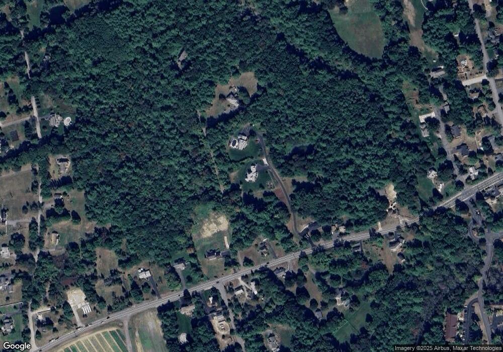
Map
Nearby Homes
- 334 Broad St
- 76 Bartemus Trail Unit U231
- 11 Bartemus Trail Unit 204
- 22 Cathedral Cir
- 3 Richmond St
- 4 Nelson St
- 6 Cornwall Ln Unit 7
- 46 Scenic Dr
- 20 Martha St
- 27 Country Hill Rd Unit U90
- 5 Meghan Dr Unit U23
- 14 Parrish Hill Dr
- 424 Broad St
- 199 Pine Hill Rd
- 4 Chesapeake Rd
- 40 Spring Cove Rd Unit U117
- 12 Spring Cove Rd Unit U103
- 11 Inca Dr
- 599 W Hollis St
- 5 Plainfield Ln
- 1 Timothys Way
- 11 Timothys Way
- 344 Broad St
- 336 Broad St
- 337 Broad St
- 347 Broad St
- 330 Broad St
- 352 Broad St
- 335 Broad St
- 341 Broad St
- 351 Broad St
- 324 Broad St Unit 26-48
- 356 Broad St
- 11A Joe's Way
- 7A Joe's Way Unit A
- 9B Joe's Way
- 6C Joe's Way Unit 6C
- 7B Joe's Way Unit B
- 6B Joe's Way Unit B
- 8B Joes Way Unit B