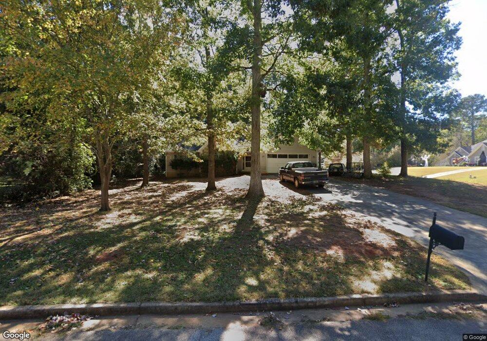
10 Trace Ct Covington, GA 30016
Estimated Value: $300,000 - $352,000
Studio
2
Baths
2,233
Sq Ft
$144/Sq Ft
Est. Value
About This Home
This home is located at 10 Trace Ct, Covington, GA 30016 and is currently estimated at $321,498, approximately $143 per square foot. 10 Trace Ct is a home located in Newton County with nearby schools including West Newton Elementary School, Veterans Memorial Middle School, and Newton High School.
Ownership History
Date
Name
Owned For
Owner Type
Purchase Details
Closed on
Dec 16, 2005
Sold by
Epps Cheryl J
Bought by
Hill David W
Current Estimated Value
Home Financials for this Owner
Home Financials are based on the most recent Mortgage that was taken out on this home.
Original Mortgage
$116,400
Outstanding Balance
$63,599
Interest Rate
6.19%
Mortgage Type
New Conventional
Estimated Equity
$257,899
Purchase Details
Closed on
Apr 22, 1994
Sold by
Wilson Brothers Inc
Bought by
Epps Cheryl
Home Financials for this Owner
Home Financials are based on the most recent Mortgage that was taken out on this home.
Original Mortgage
$103,477
Interest Rate
7.77%
Mortgage Type
FHA
Create a Home Valuation Report for This Property
The Home Valuation Report is an in-depth analysis detailing your home's value as well as a comparison with similar homes in the area
Home Values in the Area
Average Home Value in this Area
Purchase History
| Date | Buyer | Sale Price | Title Company |
|---|---|---|---|
| Hill David W | $145,500 | -- | |
| Epps Cheryl | $106,000 | -- |
Source: Public Records
Mortgage History
| Date | Status | Borrower | Loan Amount |
|---|---|---|---|
| Open | Hill David W | $116,400 | |
| Previous Owner | Epps Cheryl | $103,477 |
Source: Public Records
Tax History
| Year | Tax Paid | Tax Assessment Tax Assessment Total Assessment is a certain percentage of the fair market value that is determined by local assessors to be the total taxable value of land and additions on the property. | Land | Improvement |
|---|---|---|---|---|
| 2025 | $3,291 | $135,840 | $16,800 | $119,040 |
| 2024 | $3,296 | $132,680 | $16,800 | $115,880 |
| 2023 | $3,050 | $115,080 | $8,000 | $107,080 |
| 2022 | $2,891 | $109,200 | $8,000 | $101,200 |
| 2021 | $2,200 | $75,360 | $8,000 | $67,360 |
| 2020 | $2,133 | $66,440 | $8,000 | $58,440 |
| 2019 | $2,131 | $65,440 | $8,000 | $57,440 |
| 2018 | $1,796 | $55,280 | $8,000 | $47,280 |
| 2017 | $1,387 | $43,360 | $6,000 | $37,360 |
| 2016 | $1,089 | $34,680 | $4,000 | $30,680 |
| 2015 | $901 | $29,240 | $4,000 | $25,240 |
| 2014 | $900 | $29,240 | $0 | $0 |
Source: Public Records
Map
Nearby Homes
- 80 Fox Glove Dr Unit 3
- 210 Fox Glove Dr
- 340 Radcliffe Trace
- 45 Sunset Ct
- 355 Radcliffe Trace
- 45 Somerset Ct
- 215 Somerset Dr
- 35 Springfield Way
- 2273 Hampton Trail SE
- 229 Lotus Ln Unit 25
- 234 Lotus Ln Unit 79
- 3789 Salem Rd
- 160 Jericho Dr
- 2184 Hampton Trail SE
- 171 Lotus Ln
- 188 Lotus Ln
- 188 Lotus Ln Unit 83
- 174 Lotus Ln Unit 84
- 193 Lotus Ln Unit 28
- 193 Lotus Ln
- 15 Craig Way
- 25 Craig Way
- 30 Trace Ct
- 175 Radcliffe Trace
- 185 Radcliffe Trace
- 15 Trace Ct
- 165 Radcliffe Trace
- 35 Trace Ct
- 25 Trace Ct
- 195 Radcliffe Trace
- 35 Craig Way
- 155 Radcliffe Trace
- 205 Radcliffe Trace
- 220 Radcliffe Trace
- 145 Radcliffe Trace
- 140 Radcliffe Trace
- 30 Craig Way
- 215 Radcliffe Trace
- 20 Craig Way
- 150 Fox Glove Dr Unit 3
Your Personal Tour Guide
Ask me questions while you tour the home.