10 Trout Ln Litchfield, ME 04350
Estimated Value: $128,275 - $216,000
--
Bed
--
Bath
--
Sq Ft
0.33
Acres
About This Home
This home is located at 10 Trout Ln, Litchfield, ME 04350 and is currently estimated at $185,569. 10 Trout Ln is a home with nearby schools including Libby-Tozier School, Sabattus Primary School, and Carrie Ricker School.
Ownership History
Date
Name
Owned For
Owner Type
Purchase Details
Closed on
Dec 5, 2008
Sold by
Campanaro Linda L and Young Raymond N
Bought by
Tobey Paul R and Tobey Susan S
Current Estimated Value
Home Financials for this Owner
Home Financials are based on the most recent Mortgage that was taken out on this home.
Original Mortgage
$163,000
Outstanding Balance
$107,015
Interest Rate
6%
Mortgage Type
Adjustable Rate Mortgage/ARM
Estimated Equity
$78,554
Create a Home Valuation Report for This Property
The Home Valuation Report is an in-depth analysis detailing your home's value as well as a comparison with similar homes in the area
Home Values in the Area
Average Home Value in this Area
Purchase History
| Date | Buyer | Sale Price | Title Company |
|---|---|---|---|
| Tobey Paul R | -- | -- |
Source: Public Records
Mortgage History
| Date | Status | Borrower | Loan Amount |
|---|---|---|---|
| Open | Tobey Paul R | $163,000 |
Source: Public Records
Tax History Compared to Growth
Tax History
| Year | Tax Paid | Tax Assessment Tax Assessment Total Assessment is a certain percentage of the fair market value that is determined by local assessors to be the total taxable value of land and additions on the property. | Land | Improvement |
|---|---|---|---|---|
| 2024 | $1,203 | $84,400 | $82,500 | $1,900 |
| 2023 | $1,139 | $84,400 | $82,500 | $1,900 |
| 2022 | $1,108 | $70,500 | $68,700 | $1,800 |
| 2021 | $996 | $70,500 | $68,700 | $1,800 |
| 2020 | $2,768 | $70,500 | $68,700 | $1,800 |
| 2019 | $987 | $70,500 | $68,700 | $1,800 |
| 2018 | $740 | $45,835 | $44,778 | $1,057 |
| 2017 | $740 | $45,835 | $44,778 | $1,057 |
| 2016 | $2,447 | $45,847 | $44,778 | $1,069 |
| 2015 | $713 | $45,847 | $44,778 | $1,069 |
| 2014 | $653 | $45,859 | $44,778 | $1,081 |
| 2013 | $564 | $45,859 | $44,778 | $1,081 |
Source: Public Records
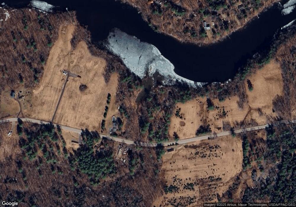
Map
Nearby Homes
- 3 Balsam Ln
- 58 Military Ln
- 1145 Brunswick Rd
- 90 Mallard Dr
- 998 Lewiston Rd
- 1178 Brunswick Ave
- 857 Brunswick Rd
- Lot 4 Cobbo Ln
- Lot 5 Cobbo Ln
- Lot 6 Cobbo Ln
- Lot 7 Cobbo Ln
- 766 Brunswick Rd
- 525 Plains Rd
- 301 Pond Rd
- TBD Pond Rd
- 39 Lobo Ln
- 47 Adams Ln
- Lot 12 Hallowell Rd
- 0 Hallowell Rd Unit 1627507
- 476 Pine Tree Rd
- 150 Lunts Hill Rd
- 153 Lunts Hill Rd
- 149 Lunts Hill Rd
- 0 Lunt's Hill Rd Unit 1469959
- 141 Lunts Hill Rd
- 71 Garland Ln
- 79 Garland Ln
- 73 Garland Ln
- 18 Garland Ln
- 99 Garland Ln
- 248 Lunts Hill Rd
- 85 Garland Ln
- 0 Garland Lane Extension
- 0 Garland Ln
- TBD Lunts Hill Rd
- 84 Garland Ln
- 112 Lunts Hill Rd
- 91 Garland Ln
- 112 Lunt's Hill Rd
- 95 Garland Ln