10 Twin Bridge Acre Rd Westport, CT 06880
Red Coat NeighborhoodEstimated Value: $2,718,000 - $3,729,642
5
Beds
9
Baths
6,264
Sq Ft
$536/Sq Ft
Est. Value
About This Home
This home is located at 10 Twin Bridge Acre Rd, Westport, CT 06880 and is currently estimated at $3,355,911, approximately $535 per square foot. 10 Twin Bridge Acre Rd is a home located in Fairfield County with nearby schools including King's Highway Elementary School, Coleytown Middle School, and Staples High School.
Ownership History
Date
Name
Owned For
Owner Type
Purchase Details
Closed on
Feb 28, 1990
Sold by
Kline Janet
Bought by
Wimmer Thomas
Current Estimated Value
Home Financials for this Owner
Home Financials are based on the most recent Mortgage that was taken out on this home.
Original Mortgage
$110,000
Interest Rate
9.78%
Mortgage Type
Purchase Money Mortgage
Create a Home Valuation Report for This Property
The Home Valuation Report is an in-depth analysis detailing your home's value as well as a comparison with similar homes in the area
Home Values in the Area
Average Home Value in this Area
Purchase History
| Date | Buyer | Sale Price | Title Company |
|---|---|---|---|
| Wimmer Thomas | $284,000 | -- |
Source: Public Records
Mortgage History
| Date | Status | Borrower | Loan Amount |
|---|---|---|---|
| Open | Wimmer Thomas | $665,000 | |
| Closed | Wimmer Thomas | $203,000 | |
| Closed | Wimmer Thomas | $110,000 |
Source: Public Records
Tax History Compared to Growth
Tax History
| Year | Tax Paid | Tax Assessment Tax Assessment Total Assessment is a certain percentage of the fair market value that is determined by local assessors to be the total taxable value of land and additions on the property. | Land | Improvement |
|---|---|---|---|---|
| 2025 | $27,996 | $1,484,400 | $436,600 | $1,047,800 |
| 2024 | $27,640 | $1,484,400 | $436,600 | $1,047,800 |
| 2023 | $27,239 | $1,484,400 | $436,600 | $1,047,800 |
| 2022 | $26,823 | $1,484,400 | $436,600 | $1,047,800 |
| 2021 | $26,823 | $1,484,400 | $436,600 | $1,047,800 |
| 2020 | $31,694 | $1,896,700 | $460,800 | $1,435,900 |
| 2019 | $31,978 | $1,896,700 | $460,800 | $1,435,900 |
| 2018 | $31,978 | $1,896,700 | $460,800 | $1,435,900 |
| 2017 | $31,978 | $1,896,700 | $460,800 | $1,435,900 |
| 2016 | $31,978 | $1,896,700 | $460,800 | $1,435,900 |
| 2015 | $35,885 | $1,983,700 | $380,800 | $1,602,900 |
| 2014 | $35,588 | $1,983,700 | $380,800 | $1,602,900 |
Source: Public Records
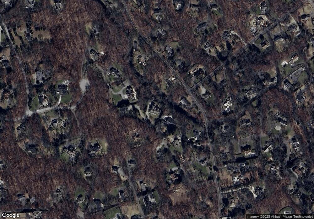
Map
Nearby Homes
- 4A Newtown Turnpike
- 25 Hermit Ln
- 93 E Meadow Rd
- 30 Cavalry Rd
- 4 Good Hill Rd
- 17 Huckleberry Ln
- 31 Riverfield Dr
- 87 Red Coat Rd
- 6 Tulip Tree Ln
- 10 Wilton Hunt Rd
- 10 Twin Falls Ln
- 32 Kettle Creek Rd
- 29 Grumman Ave
- 259 Wilton Rd
- 110 Dudley Rd
- 4 Newtown Turnpike
- 32 Thistle Rd
- 81 Norfield Rd
- 56 Partrick Rd
- 14 Northfield Dr
- 8 Twin Bridge Acre Rd
- 183 Newtown Turnpike
- 9 Twin Bridge Acre Rd
- 17 Woodway Ln
- 177 Newtown Turnpike
- 6 Twin Bridge Acre Rd
- 188 Newtown Turnpike
- 7 Twin Bridge Acre Rd
- 11 Twin Bridge Acre Rd
- 199 Newtown Turnpike
- 196 Newtown Turnpike
- 2 Broad St
- 173 Newtown Turnpike
- 6 Grouse Path
- 193 Newtown Turnpike
- 16 Woodway Ln
- 1 Broad St
- 195 Newtown Turnpike
- 6 Grouse Path
- 171 Newtown Turnpike