10 Twin Walls Ln Weston, CT 06883
Estimated Value: $3,001,574 - $3,776,000
7
Beds
7
Baths
6,216
Sq Ft
$523/Sq Ft
Est. Value
About This Home
This home is located at 10 Twin Walls Ln, Weston, CT 06883 and is currently estimated at $3,251,894, approximately $523 per square foot. 10 Twin Walls Ln is a home located in Fairfield County with nearby schools including Hurlbutt Elementary School, Weston Intermediate School, and Weston Middle School.
Ownership History
Date
Name
Owned For
Owner Type
Purchase Details
Closed on
Dec 2, 2004
Sold by
Rothkopf Howard and Rothkopf Sally
Bought by
Sun Jacob C and Wang Lynn H
Current Estimated Value
Home Financials for this Owner
Home Financials are based on the most recent Mortgage that was taken out on this home.
Original Mortgage
$1,500,000
Interest Rate
5%
Purchase Details
Closed on
Jun 10, 1996
Sold by
Pequot Development
Bought by
Rothkopf Howard and Rothkopf Sally
Create a Home Valuation Report for This Property
The Home Valuation Report is an in-depth analysis detailing your home's value as well as a comparison with similar homes in the area
Home Values in the Area
Average Home Value in this Area
Purchase History
| Date | Buyer | Sale Price | Title Company |
|---|---|---|---|
| Sun Jacob C | $2,706,750 | -- | |
| Rothkopf Howard | $450,000 | -- |
Source: Public Records
Mortgage History
| Date | Status | Borrower | Loan Amount |
|---|---|---|---|
| Open | Rothkopf Howard | $980,000 | |
| Closed | Rothkopf Howard | $500,000 | |
| Closed | Rothkopf Howard | $1,500,000 | |
| Previous Owner | Rothkopf Howard | $1,250,000 |
Source: Public Records
Tax History Compared to Growth
Tax History
| Year | Tax Paid | Tax Assessment Tax Assessment Total Assessment is a certain percentage of the fair market value that is determined by local assessors to be the total taxable value of land and additions on the property. | Land | Improvement |
|---|---|---|---|---|
| 2025 | $47,329 | $1,980,300 | $333,060 | $1,647,240 |
| 2024 | $46,478 | $1,980,300 | $333,060 | $1,647,240 |
| 2023 | $43,435 | $1,313,820 | $333,060 | $980,760 |
| 2022 | $43,317 | $1,313,820 | $333,060 | $980,760 |
| 2021 | $43,251 | $1,313,820 | $333,060 | $980,760 |
| 2020 | $42,528 | $1,313,820 | $333,060 | $980,760 |
| 2019 | $42,528 | $1,313,820 | $333,060 | $980,760 |
| 2018 | $43,333 | $1,474,400 | $315,800 | $1,158,600 |
| 2017 | $42,625 | $1,474,400 | $315,800 | $1,158,600 |
| 2016 | $42,109 | $1,474,400 | $315,800 | $1,158,600 |
| 2015 | $42,271 | $1,474,400 | $315,800 | $1,158,600 |
| 2014 | $41,637 | $1,474,400 | $315,800 | $1,158,600 |
Source: Public Records
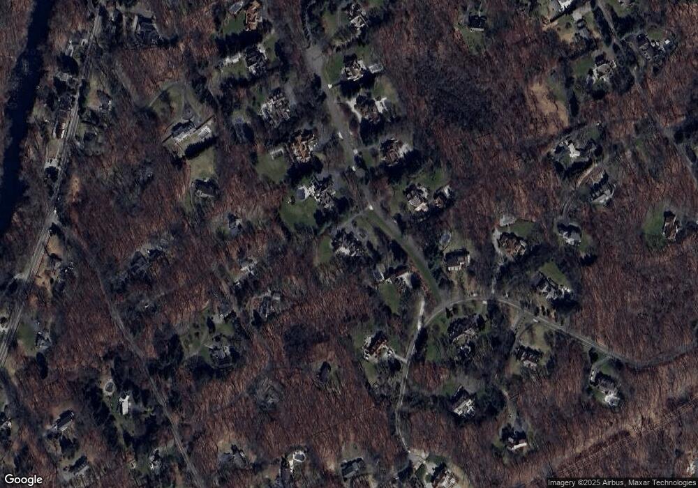
Map
Nearby Homes
- 136 Lyons Plain Rd
- 31 White Birch Rd
- 145 Lyons Plain Rd
- 24 Nordholm Dr
- 1 Greenlea Ln
- 18 Cardinal Rd
- 18 Hunt Ln
- 17 Grays Farm Rd
- 1375 Westport Turnpike
- 0 Old Easton Turnpike
- 130 Easton Rd
- 80 Gilbert Hwy
- 214 Good Hill Rd
- 32 Kettle Creek Rd
- 4 Lyons Plain Rd
- 85-95 Old Easton Turnpike
- 225 Good Hill Rd
- 9 Greenbrier Rd
- 260 Lyons Plain Rd
- 4 Aspetuck Ln
- 14 Twin Walls Ln
- 26 Tall Pines Dr
- 7 Twin Walls Ln
- 13 Deer Run Trail
- 15 Twin Walls Ln
- 17 Deer Run Trail
- 24 Tall Pines Dr
- 18 Twin Walls Ln
- 21 Deer Run Trail
- 30 Tall Pines Dr
- 17 Twin Walls Ln
- 9 Deer Run Trail
- 31 Tall Pines Dr
- 25 Deer Run Trail
- 20 Twin Walls Ln
- 34 Tall Pines Dr
- 34 Tall Pines Dr
- 34 Tall Pines Dr
- 14 White Birch Rd
- 5 Deer Run Trail