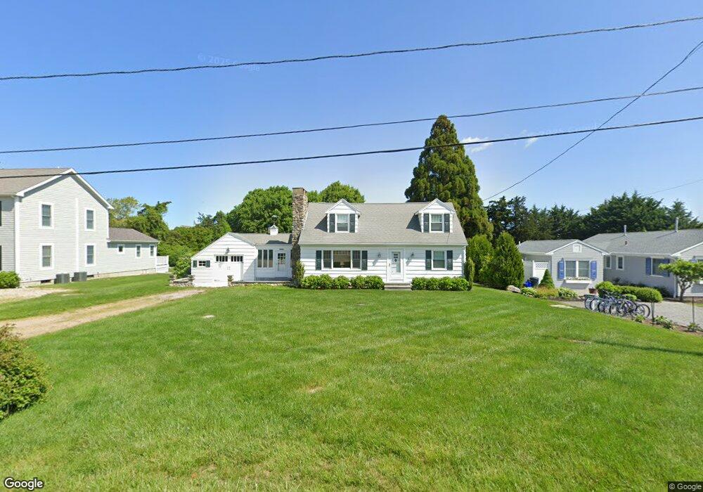
10 Upland Rd Westerly, RI 02891
Estimated Value: $2,363,152 - $3,954,000
4
Beds
2
Baths
2,653
Sq Ft
$1,207/Sq Ft
Est. Value
About This Home
This home is located at 10 Upland Rd, Westerly, RI 02891 and is currently estimated at $3,202,051, approximately $1,206 per square foot. 10 Upland Rd is a home with nearby schools including Westerly High School.
Create a Home Valuation Report for This Property
The Home Valuation Report is an in-depth analysis detailing your home's value as well as a comparison with similar homes in the area
Home Values in the Area
Average Home Value in this Area
Tax History
| Year | Tax Paid | Tax Assessment Tax Assessment Total Assessment is a certain percentage of the fair market value that is determined by local assessors to be the total taxable value of land and additions on the property. | Land | Improvement |
|---|---|---|---|---|
| 2025 | $15,525 | $2,183,600 | $1,861,300 | $322,300 |
| 2024 | $14,724 | $1,500,900 | $1,208,700 | $292,200 |
| 2023 | $14,439 | $1,500,900 | $1,208,700 | $292,200 |
| 2022 | $14,349 | $1,500,900 | $1,208,700 | $292,200 |
| 2021 | $14,084 | $1,222,600 | $997,900 | $224,700 |
| 2020 | $13,828 | $1,222,600 | $997,900 | $224,700 |
| 2019 | $13,693 | $1,222,600 | $997,900 | $224,700 |
| 2018 | $11,747 | $988,800 | $787,800 | $201,000 |
| 2017 | $11,460 | $988,800 | $787,800 | $201,000 |
| 2016 | $11,549 | $988,800 | $787,800 | $201,000 |
| 2015 | $12,615 | $1,165,900 | $965,200 | $200,700 |
| 2014 | $12,405 | $1,165,900 | $965,200 | $200,700 |
Source: Public Records
Map
Nearby Homes
- 7 Fenway Rd
- 43 Noyes Neck Rd
- 15 Breach Dr
- 22 Breach Dr
- 112 Noyes Neck Rd
- 20 Snowberry Ln
- 11 Bucks Trail
- 30 Clifford Dr
- 46 Salt Pond Way
- 446 Atlantic Ave
- 432 Atlantic Ave
- 342 Post Rd
- 13 Plateau Rd
- 346 Post Rd
- 5 Robin Hollow Ln
- 14 Evergreen Ln
- 54 Sherwood Dr
- 19 Wicklow Rd
- 137 Cove Point Rd E
- 853 W Beach Rd
Your Personal Tour Guide
Ask me questions while you tour the home.